More Freshwater Is Reaching Florida Bay Even in Drought, Everglades Scientists Report
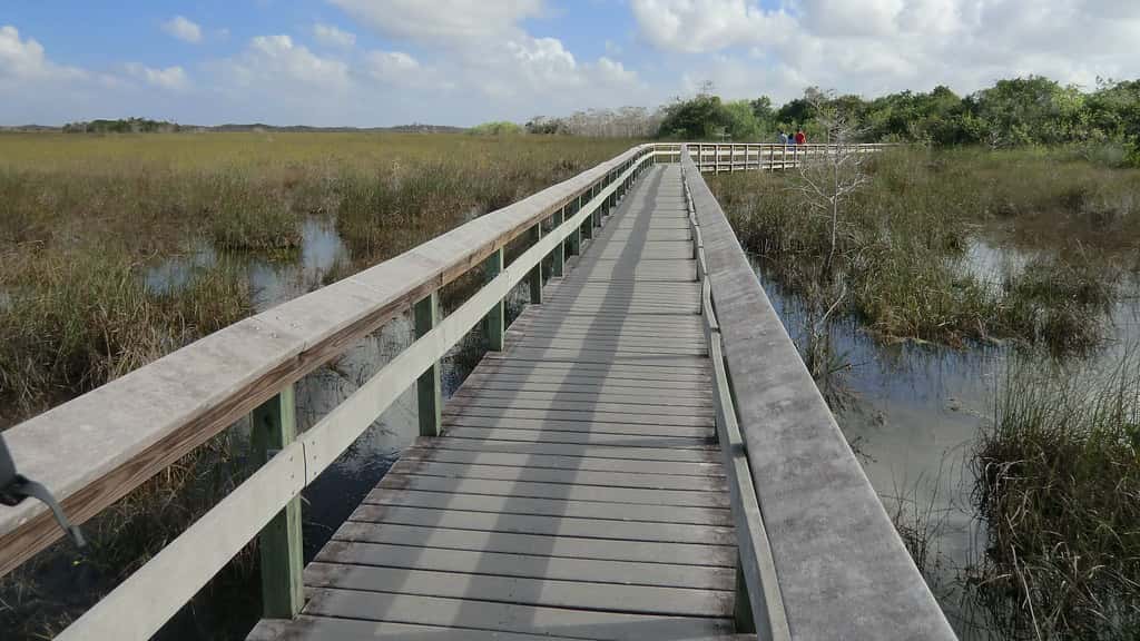
Everglades restoration infrastructure is delivering measurably more freshwater to Florida Bay even during a severe drought, according to findings the Everglades Foundation presented to the Islamorada Village Council on September 10. Roughly 24.1 billion gallons of water flowed beneath the Tamiami Trail from January through July 2026, compared with approximately 2.2 billion gallons during the same period in 2015, a year that was less dry than the current one. The comparison is being treated as evidence that decades of engineering work are producing results in the ecosystem's most sensitive estuary.
What the numbers show
The Tamiami Trail measurement matters because the roadway has functioned for most of a century as a dam across the middle of the Everglades. Built in the 1920s to connect Tampa to Miami, it cut the historic sheet flow that carried water south from Lake Okeechobee through the sawgrass and into Florida Bay, severing the hydrological connection the ecosystem evolved around.
Bridging and elevating sections of the trail, along with operational changes to the water control structures feeding it, was intended to restore some of that flow. The 2026 figure of roughly 24.1 billion gallons through July represents more than ten times the volume recorded over the equivalent period in 2015.
The drought context strengthens rather than weakens the finding. Everglades Foundation Chief Science Officer Steve Davis told the Islamorada council that the system is experiencing a more severe drought in 2026 than it did in 2015, which means the increased flow is attributable to infrastructure and operations rather than to more rain falling.
Infrastructure and operational improvements along the Tamiami Trail are allowing more freshwater to reach Shark River Slough and flow south through Everglades National Park. Shark River Slough is the principal historic channel for water moving toward the southwestern coast and Florida Bay, and restoring flow through it has been a central objective of the restoration program.
Why Florida Bay depends on freshwater
Florida Bay sits at the southern terminus of the Everglades system, a shallow estuary between the mainland and the Keys. Its ecology depends on a balance between freshwater arriving from the north and saltwater from the Gulf and the Atlantic, and that balance determines salinity across the bay's basins.
When freshwater delivery falls, salinity rises. In extreme cases the bay becomes hypersaline, meaning saltier than the open ocean, because shallow water evaporating under intense sun concentrates the salt that remains. Seagrass beds, which form the foundation of the bay's food web, die under those conditions.
Florida Bay has experienced major seagrass die-offs during past droughts, and the consequences propagate upward. Decaying seagrass fuels algal blooms that block light and reduce oxygen, which affects shrimp, juvenile fish, and the sport fishery that supports much of the Keys economy.
The recreational fishery in Florida Bay and the surrounding flats is a significant economic driver for Monroe County. Bonefish, tarpon, permit, and redfish all depend on the habitat structure that seagrass provides, and guides in Islamorada and the surrounding communities have tracked the bay's condition closely for decades.
What restoration has and has not achieved
The flow figures represent genuine progress on a specific metric. They do not indicate that Everglades restoration is complete or that the system's problems are resolved, and the scientists presenting the data have been careful to frame it as evidence that particular investments are working as designed.
Water quality remains a separate and unresolved challenge. Analyses published earlier in 2026 found that pollution persists in the Everglades despite a restoration effort spanning four decades, and that portions of the system continue to fail water quality standards. Phosphorus loading from agricultural and urban runoff has proved harder to solve than water quantity.
The distinction between quantity and quality is important for interpreting the Tamiami Trail numbers. Moving more water south is an achievement in itself, but water carrying excess nutrients can drive the same ecological problems that too little water causes, through different mechanisms.
Governor Ron DeSantis has marked progress on the storage side of the system, celebrating full execution of contracts for the accelerated Everglades Agricultural Area reservoir. That reservoir is designed to store and treat water south of Lake Okeechobee before sending it into the Everglades, addressing both volume and quality.
The engineering behind the flow
The Comprehensive Everglades Restoration Plan, authorized by Congress in 2000, is among the largest ecosystem restoration efforts ever attempted. It comprises dozens of individual projects spanning water storage, conveyance, treatment, and the removal or modification of structures that block flow.
Tamiami Trail bridging is one of the more visible components. Raising sections of the roadway onto bridges allows water to pass underneath rather than pooling on the north side, and pairing that with operational changes at upstream structures determines how much water actually moves.
Operations are as consequential as construction. Water managers make daily decisions about how much to release from each structure, balancing ecosystem needs against flood control obligations for communities along the system's edges and water supply commitments for urban and agricultural users.
The South Florida Water Management District publishes its annual South Florida Environmental Report documenting restoration progress across those projects. The 2026 edition highlighted progress while also documenting where targets remain unmet, which is the standard pattern for a program of this scale and duration.
What it means for the Keys
Islamorada, where the findings were presented, sits in the middle of the Keys chain and depends economically on the health of the surrounding waters. Fishing guides, dive operators, and the hospitality businesses that serve them are all downstream of Everglades water management decisions made a hundred miles north.
Monroe County's tourism economy is built on water quality in a direct way that few other Florida counties experience. A seagrass die-off in Florida Bay affects charter bookings, restaurant traffic, and lodging occupancy within a season, and recovery from a severe die-off takes years.
Keys residents and businesses have been among the more consistent advocates for Everglades restoration funding, precisely because the connection between upstream water management and local economic conditions is so visible there. Village and county governments have repeatedly passed resolutions supporting restoration appropriations.
The drought context is what makes the current data locally meaningful. A dry year that historically would have produced hypersaline conditions and seagrass stress is instead seeing substantially more freshwater delivery, which is the specific outcome restoration was designed to produce.
The funding question
Everglades restoration depends on federal appropriations matched by state funding, a structure that makes the program vulnerable to disruptions in either stream. Congress must appropriate the federal share annually, and the state must budget its match.
Federal funding operates under a continuing resolution that runs through December 11, which holds spending at current levels rather than enacting full-year appropriations. Programs dependent on new-start authority or increased funding levels can face delays under that arrangement.
Florida has generally maintained its state share, and the DeSantis administration has treated Everglades funding as a priority, including the accelerated reservoir contracts. Sustained progress depends on both halves of the arrangement continuing.
Construction cost inflation has affected the program as it has affected infrastructure work generally. Projects authorized years ago at estimated costs have required larger appropriations to complete, which means flat funding translates into slower progress rather than steady progress.
What scientists are watching next
Salinity monitoring across Florida Bay's basins is the direct measure of whether increased flow is producing the intended ecological result. Flow volume is an input; salinity and seagrass condition are the outcomes that matter for the ecosystem.
Researchers also track seagrass coverage and species composition, since different seagrass species tolerate different salinity ranges. A shift in composition can signal stress before a visible die-off occurs, which gives managers lead time to adjust operations.
Water quality sampling continues in parallel, measuring phosphorus and nitrogen concentrations in water entering the system. The relationship between increased flow and nutrient delivery is one of the open questions that will determine whether more water produces unambiguous ecological benefit.
Drought conditions themselves will be a factor. If 2026 remains dry through the fall and into the dry season, the system will face a more demanding test than the January through July period the current figures cover.
A century of altered hydrology
The Everglades that restoration aims to recover was a slow-moving river roughly 60 miles wide, flowing from Lake Okeechobee south to Florida Bay over a gradient so gentle that water took months to make the trip. Drainage projects beginning in the late nineteenth century and accelerating through the mid twentieth century converted roughly half that landscape to agriculture and development.
The Central and Southern Florida Project, authorized after devastating floods in the 1940s, built the canal and levee network that still defines water movement across South Florida. It succeeded at its stated goals of flood control and water supply, and in doing so it cut the ecosystem's water deliveries to a fraction of their historic volume.
Restoration does not mean undoing that infrastructure, since millions of people and a major agricultural industry now depend on it. It means adding storage, treatment, and conveyance capacity that allows water to be moved south during the wet season and held for release during the dry season, without flooding the communities the original project was built to protect.
That constraint explains why the program has taken decades and why individual project completions matter. Each new storage or conveyance feature expands the range of operational choices available to water managers, and the Tamiami Trail flow figures reflect the cumulative effect of several such additions working together.
How this drought compares
Drought in South Florida is measured differently than in most of the country, because the region's water year divides sharply into a wet season from roughly May through October and a dry season through the remaining months. A dry wet season has outsized consequences, since it determines how much water is available to carry the system through the following months.
The 2015 comparison that scientists have highlighted is instructive precisely because 2015 was itself a difficult year for Florida Bay. Conditions that year contributed to seagrass stress across the bay's basins, and the die-off that followed became a reference point for what insufficient freshwater delivery produces.
That 2026 is drier while delivering more than ten times the freshwater volume is the core of the scientists' argument. The infrastructure is producing an outcome that rainfall alone would not, which is the specific claim restoration advocates have been making for years without being able to demonstrate it under drought conditions.
The test is not over. The flow figures cover January through July, and South Florida's dry season runs from roughly November through April. How the bay fares through those months will determine whether the improved delivery is sufficient to prevent the ecological damage that past droughts produced.
What's next
Additional restoration components remain under construction or in planning, including storage and treatment features designed to work alongside the conveyance improvements already delivering water south. Each addition changes what operators can do with the system as a whole.
The South Florida Water Management District and the Army Corps of Engineers continue to publish operational updates and project status, and the annual environmental report provides the most comprehensive accounting of where the program stands.
For residents and businesses in the Keys and South Florida, the practical indicator is Florida Bay itself. Salinity readings and seagrass condition over the coming dry season will show whether the flow gains documented through July translate into a bay that weathers this drought better than it weathered the last one.
Spotted an issue with this article?
Have something to say about this story?
Write a letter to the editorComments
No comments yet. Be the first to weigh in.
Related Coverage
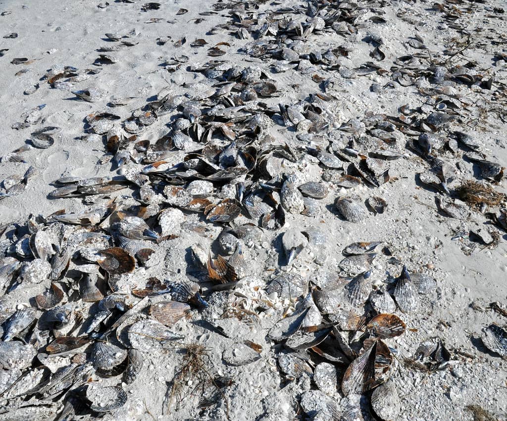
Rust Tide Turns Southwest Florida Waters Murky Around Sanibel and Pine Island
1d ago
A Rust-Colored Bloom Is Fouling the Waters Around Sanibel and Pine Island
3d ago
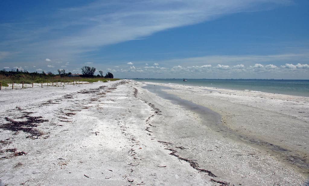
Florida's Coast Stays Clear of Red Tide as FWC Sampling Finds No Bloom Statewide
4d ago
Florida Wildlife Officials Propose Strict New Sloth Rules After Dozens Died at an Orlando Attraction
6d ago