Florida Enters Peak Hurricane Season With Quiet Tropics, Saharan Dust and a Wet Weekend Ahead
Florida is entering the most active stretch of the Atlantic hurricane season with an unusually quiet map. Forecasters at the National Hurricane Center indicated this week that tropical cyclone formation is not expected across the North Atlantic, the Caribbean Sea, or the Gulf over the next seven days, an outlook that carries the state through the middle of August without an organized threat on the horizon.
The calm has a visible cause. A broad plume of Saharan dust that lifted off the coast of Africa has spread across the southern and central Atlantic, extending over the Caribbean and Cuba and pushing into the Gulf, with another plume beginning to move across Florida itself. Saharan dust is one of the more reliable natural brakes on tropical development, and its presence in early August has helped keep the basin stable during a period when storms would normally be starting to organize.
Floridians will still see unsettled weather. A tropical wave was expected to pass near the state on Friday, and forecasters anticipated pop-up showers and thunderstorms continuing through the weekend across much of the peninsula. The wave carries no expectation of development, but it carries moisture, and August moisture over a hot Florida landmass produces afternoon storms.
Why Saharan dust suppresses storms
The Saharan Air Layer is a mass of dry, dusty air that forms over the Sahara Desert and moves west across the Atlantic in pulses, most commonly from late spring through early fall. It works against tropical development in several ways at once.
The layer is extremely dry, and dry air entrained into a developing tropical system disrupts the deep thunderstorm activity that a storm needs to build and sustain a warm core. The layer also carries a strong temperature inversion at its base, which suppresses the vertical motion that fuels convection. On top of that, the surge of air associated with the layer often brings enhanced wind shear, which tilts and shreds a developing circulation.
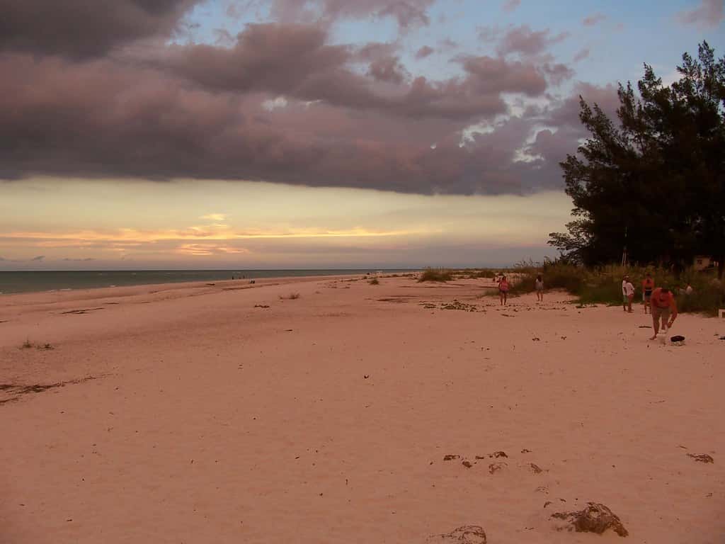
The dust also has effects Floridians notice at ground level. Saharan dust scatters sunlight, which is why dust outbreaks tend to produce unusually vivid sunrises and sunsets along the Gulf and Atlantic coasts. It can also degrade air quality modestly, and people with asthma or other respiratory conditions sometimes report increased sensitivity during heavy dust episodes.
Dust outbreaks are seasonal and they fade. The Saharan Air Layer typically weakens through August and into September, which is one reason the Atlantic tends to come alive in the second half of the season even after quiet Julys and early Augusts.
The weekend forecast across Florida
The pattern setting up for the weekend is a familiar Florida summer setup: abundant low-level moisture, strong daytime heating, and sea breeze boundaries colliding over the interior. That combination reliably produces scattered to numerous afternoon and evening thunderstorms, some capable of frequent lightning, brief heavy downpours, and gusty winds.
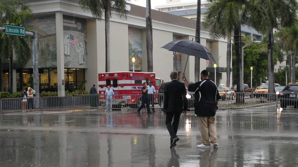
The tropical wave passing near the state adds moisture to that base state, which generally means higher storm coverage and higher rainfall totals than a typical summer day. Localized street flooding is the most common consequence in urban areas across South Florida and the Tampa Bay region, where drainage systems can be overwhelmed by rainfall rates that spike briefly during slow-moving cells.
Lightning remains the most underestimated summer hazard in Florida. The state records more lightning fatalities than any other, and the corridor between Tampa and Orlando is among the most lightning-prone areas in the country. National Weather Service guidance is unchanged and simple: when thunder is audible, move indoors and stay there for 30 minutes after the last rumble.
Heat is the other factor. August afternoons across Florida routinely combine air temperatures in the low to mid 90s with high dew points, producing heat index values well above 100 degrees. Outdoor workers, youth sports programs resuming ahead of the school year, and anyone spending extended time outside face genuine risk during the hottest part of the day.
How this fits the seasonal picture
The quiet stretch arrives alongside a downward revision in the seasonal forecast. NOAA lowered its 2026 Atlantic outlook this week to 7 to 13 named storms, 2 to 6 hurricanes, and 0 to 2 major hurricanes, and raised the odds of a below-normal season to 75 percent, citing a strengthening El Nino that is expected to keep Atlantic wind shear elevated through the rest of the season.
The season has produced two named storms so far, Arthur and Bertha, and no hurricanes. Both formed in the Gulf and both affected Louisiana rather than Florida.
None of that changes the calendar. Atlantic activity climbs steeply through August and peaks in the second week of September. A basin that is quiet on August 7 can look entirely different by September 7, and the historical record contains numerous examples of seasons that produced nothing of consequence through early August and then delivered a significant landfall weeks later.
What emergency managers are saying
Florida's emergency management posture does not shift with a quiet week. County emergency operations centers across the state remain in their routine seasonal readiness footing, and preparedness messaging has continued through the summer.
The standing guidance is consistent. Households in coastal and low-lying areas are urged to confirm their evacuation zone, which is assigned by address and is not the same as a flood zone. Evacuation orders in Florida are issued by zone, and an order covering Zone A in a given county does not mean every resident of that county has been told to leave.
Emergency managers also encourage residents to use quiet periods for the tasks that are difficult to complete under pressure: assembling a supply kit with several days of water, non-perishable food, medications, and batteries; photographing property for insurance documentation; confirming that generators and shutters are functional; and identifying an evacuation destination and route in advance.
The insurance timing that catches people out
A quiet stretch in the tropics is also the window during which property insurance changes can actually be made. Florida carriers routinely impose binding restrictions once a named storm threatens the state, freezing new policies and coverage increases until the threat passes.
Homeowners who have been intending to review deductibles, add flood coverage, or reassess dwelling coverage limits against current rebuilding costs have an unobstructed window right now. Flood coverage in particular carries a standard 30-day waiting period under the National Flood Insurance Program, which means a policy purchased when a storm is already approaching provides no protection for that storm.
Standard Florida homeowners policies do not cover flood damage, a distinction that surprises many residents after storm surge or freshwater flooding events. Wind damage and flood damage are handled by entirely separate coverage, and a household can be fully insured for one and completely uninsured for the other.
Reading the tropical weather outlook
The graphical tropical weather outlook the National Hurricane Center publishes twice daily has become a familiar image to Floridians, and understanding what it does and does not communicate is worth a few minutes.
The outlook marks areas of disturbed weather with shaded zones and assigns each a probability of development over two-day and seven-day windows, color-coded from yellow at low probability through orange to red at high probability. Those percentages describe the likelihood that a disturbance becomes a tropical depression or storm, and nothing else.
A red-shaded area does not mean a storm is coming to Florida. It means the atmosphere in that region is likely to organize something. Where that something goes, and how strong it becomes, are separate questions the outlook does not attempt to answer.
Track forecasts arrive only after a system is designated, at which point the Hurricane Center begins issuing advisories with the cone of uncertainty most Floridians recognize. That cone represents the probable track of the storm's center, historically containing the actual center about two-thirds of the time. Impacts routinely extend well outside it, which is the single most common misreading of hurricane graphics.
Florida's rainy season
The showers expected this weekend are part of a seasonal pattern that runs from roughly late May through October across the peninsula. During those months, Florida receives the majority of its annual rainfall, and the daily rhythm of building heat, sea breeze convergence, and afternoon convection repeats with remarkable consistency.
The mechanism is geographic. Florida is a narrow peninsula between two bodies of warm water, and sea breezes develop off both the Atlantic and the Gulf as the land heats faster than the water. Those two breeze fronts move inland through the day and collide somewhere over the interior, forcing air upward and triggering thunderstorms.
Where they collide depends on the prevailing wind. An easterly flow pushes the collision zone toward the Gulf coast, which is why Tampa Bay and Southwest Florida see storms concentrated in the late afternoon on many summer days. A westerly flow pushes it toward the Atlantic side.
The rainy season matters beyond daily inconvenience. It recharges the aquifer that supplies drinking water to most of the state, refills Lake Okeechobee, and drives the water levels the Everglades ecosystem depends on. A dry rainy season produces water restrictions and elevated wildfire risk the following spring.
What a tropical wave actually is
The system passing near Florida this week is a tropical wave, a term that appears constantly in forecast discussions and is rarely explained.
Tropical waves are elongated troughs of low pressure that move westward across the Atlantic, generally originating over Africa and propagating at roughly 10 to 20 miles per hour. Dozens cross the basin during a typical season, and the overwhelming majority never develop into anything.
What they reliably carry is moisture and lift, which is why their passage produces enhanced shower and thunderstorm activity even without development. For Florida, that means a wetter than average day or two as the wave moves through, with no tropical threat attached.
Waves become significant when they encounter favorable conditions: warm water, low wind shear, and sufficient moisture through the depth of the atmosphere. Under the current pattern, with Saharan dust and El Nino-driven shear both working against organization, waves crossing the basin are passing through without spinning up.
What's next
The National Hurricane Center will continue issuing tropical weather outlooks twice daily, at 2 a.m. and 2 p.m. Eastern, with additional updates when systems warrant. Local National Weather Service offices in Miami, Tampa Bay, Jacksonville, Melbourne, Key West, and Tallahassee handle day-to-day forecasts and issue the watches and warnings that apply to specific counties.
Forecasters will be watching for the Saharan Air Layer to weaken and for the main development region off Africa to become more favorable, the standard signals that the basin is transitioning into its active phase. Whether El Nino keeps a lid on that transition is the central question of the remaining season.
For this weekend, the practical Florida forecast is unremarkable and familiar. Expect heat, expect afternoon storms, expect lightning, and expect the tropics to stay quiet for at least another week. The state gets a stretch of ordinary summer weather at a moment in the calendar when ordinary is worth appreciating.
Spotted an issue with this article?
Have something to say about this story?
Write a letter to the editor