St. Johns River Keeps Rising Near Lake Harney as Brevard Schools Reopen and Palm Bay Digs Out From Historic Flooding
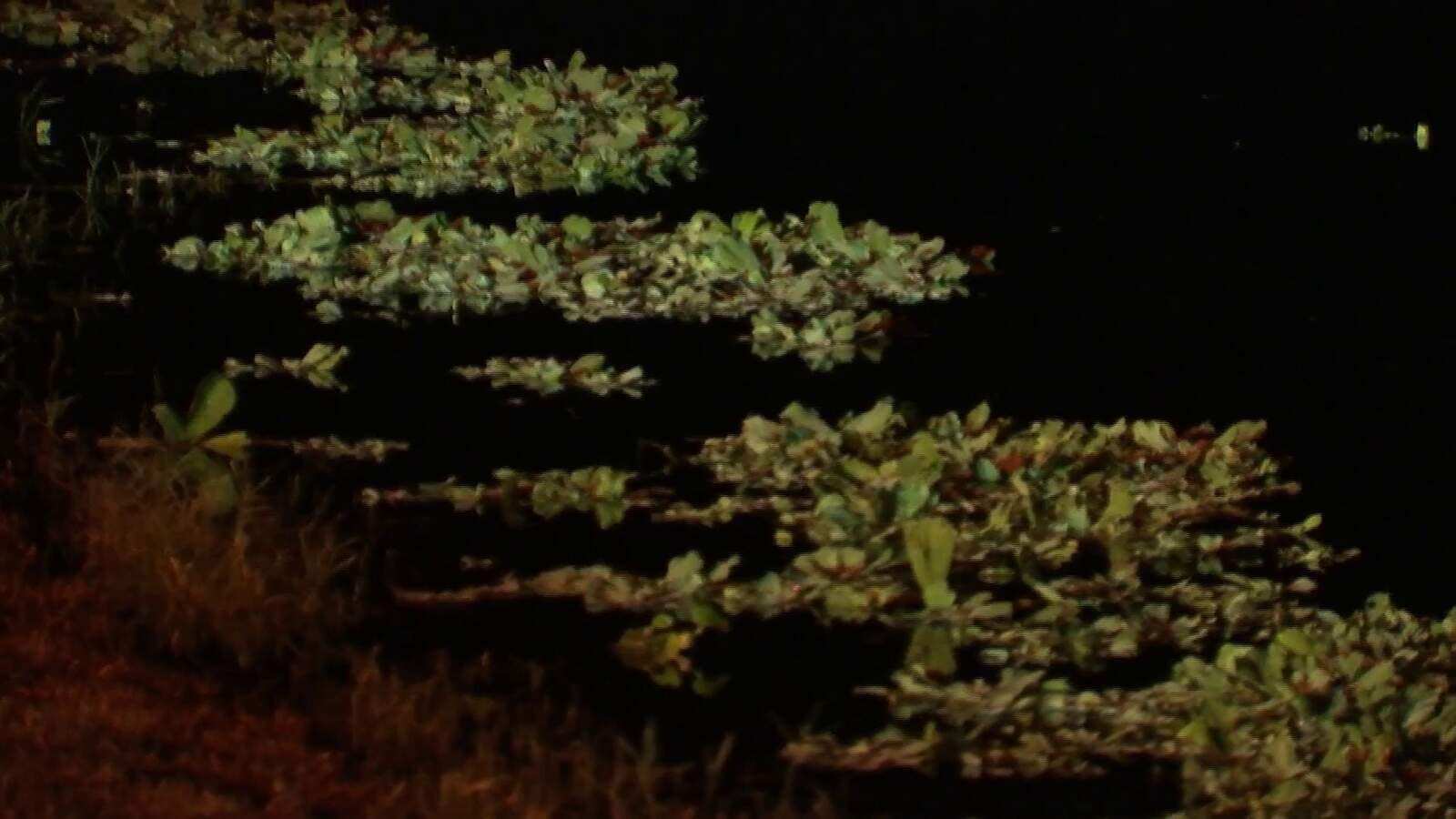
The worst of last weekend's historic rain is over in Brevard County, but the water is not done moving. The National Weather Service says floodwater that fell on the upper St. Johns River basin is still working its way north, pushing the river into moderate flood stage near Lake Harney on Friday, Nov. 6, and keeping it there through at least early next week. Downstream, gauges near Sanford and DeLand are forecast to keep climbing into Tuesday, even as a dry cold front brings cooler, calmer weather to Central Florida this weekend.
In Brevard, where the flooding began, the focus has shifted to recovery. Public schools reopened Thursday after several days of closures, a road collapse has left a Palm Bay retirement community cut off from vehicle traffic, World Central Kitchen is delivering meals, and the county has opened a portal where flood-damaged households can request free volunteer cleanup help.
Where the river stands
The St. Johns flows north, so rain that fell on southern Brevard and the marshes west of Melbourne and Palm Bay reaches Seminole, Volusia and Lake counties days later. In its Thursday evening flood warnings, the weather service said heavy upstream rain would hold river levels high as a large volume of water works north through the basin, and that rises are possible beyond the current forecast window at several sites.
Readings and forecasts from the weather service's Thursday evening warnings and its river gauge network are below.
| Gauge | Stage Thursday evening | Flood stage | Forecast |
|---|---|---|---|
| St. Johns near Cocoa (Brevard) | 16.9 ft, moderate | 16.0 ft | Steady near 16.9 ft |
| Above Lake Harney (Seminole) | 8.9 ft, minor | 8.0 ft | 9.8 ft Tuesday evening, moderate |
| Near Sanford (Seminole) | 5.2 ft, action stage | 5.5 ft | Above flood stage Saturday, 6.2 ft Tuesday |
| Near DeLand (Volusia, Lake) | 4.0 ft, at flood stage | 4.0 ft | 4.5 ft Tuesday, minor |
| At Astor (Lake, Volusia) | 3.2 ft, moderate | 2.3 ft | Steady near 3.2 ft |
By Friday morning the Lake Harney gauge had reached about 9 feet, the threshold for moderate flooding there. Major flooding at that site begins at 10 feet, and the weather service said levels may approach that mark next week. At 10 feet, according to the warning, flooding of homes in low-lying areas becomes more significant and many secondary roads become impassable, limiting access to homes.
Near Cocoa, where the river runs past the Lake Poinsett area west of the city, the gauge sat about a tenth of a foot below the 17-foot major flood threshold. The weather service's impact statement for that gauge says that at 17.2 feet water enters homes along the river in the Lake Poinsett area, low-lying homes in the Silver Pines subdivision of Rockledge and the Shakespeare Park area of Cocoa, and that the Providence Road area west of Cocoa becomes impassable, cutting off homes on Mullet Lane and Bass Road.
Seminole and Volusia brace for the slow rise
River flooding along the St. Johns rarely arrives as a surge. It is a slow climb that can last weeks, because the river is wide, flat and slow moving. At Jolly Gator Fish Camp near Lake Harney in Geneva, News 6 reported that the dock was already partly underwater and that airboat unloading, normally done on dry land, has been blocked for weeks. Staff there are stacking sandbags to hold the water back.
Seminole County has opened two sandbag sites, both open from 7 a.m. to 7 p.m.: the overflow lot at the Boombah Sports Complex, 3325 Cameron Ave. in Sanford, and the old Geneva Volunteer Fire Station, 217 2nd St. in Geneva.
Near Sanford, the weather service warns that at 6.2 feet, the level forecast for Tuesday morning, water completely surrounds many homes in the Stone Island and Still Brook subdivisions, pool enclosures and patios flood, and water covers many roads, including Enterprise Road and streets in the Bethel Loop subdivision. Near DeLand, a 4.5-foot reading pushes water into yards and toward buildings around Hontoon Island. At Astor, water at current levels approaches or may enter the lowest homes on or near Wildhog Road, floods parts of Alligator and Holiday roads and reaches the parking lot of the Juno Trail Apartments, according to the warning.
For perspective, these levels remain below the records set after Hurricane Ian in 2022, when the river crested at 12.67 feet above Lake Harney and 8.96 feet near Sanford, according to the weather service's historical crest data. The Cocoa gauge's highest recent crest was 17.43 feet after Hurricane Irma in 2017.
Cooler, drier weekend helps, but will not drain the river
The weather itself is cooperating. News 6 Chief Meteorologist Candace Campos forecast a few isolated showers Friday afternoon with highs in the mid 80s, followed by a cold front Saturday that arrives with little moisture. Winds turn north and northwest behind it, and Sunday stays mostly dry.
From Sunday through Wednesday, highs settle into the upper 70s to low 80s, with overnight lows in the upper 50s northwest of Interstate 4 and in the 60s elsewhere. Rain chances stay at 10 to 20 percent Monday through Wednesday, and a weak disturbance could bring scattered showers Thursday, though models disagree on timing. No severe weather is expected. Campos cautioned that river conditions are likely to get worse before they improve, because the water already in the basin still has to move downstream.
Brevard schools reopen amid safety questions
Brevard Public Schools students returned to class Thursday, Nov. 5, after several days of closures. The district said campuses were assessed before reopening, and that buses, before and after school care, athletics and extracurricular activities would resume. Storm-related absences will be excused, and the district warned that bus delays remain possible in damaged neighborhoods.
Not every parent was convinced. Some told News 6 they wanted to know whether campuses had been thoroughly checked for flood damage and mold, and one mother asked the district to inspect schools specifically for mold. Others argued on social media that the district should have stayed closed through the end of the week.
Water service has complicated the restart. A water main break in Palm Bay left some customers without water, and a precautionary boil water notice remained in effect for Melbourne's water utility customers, so several campuses operated with extra precautions.
The flooding that closed the schools followed a deluge on Nov. 1 and 2. The weather service declared a flash flood emergency for West Melbourne and Palm Bay on the morning of Nov. 2, later extending it to Grant-Valkaria, and weather reports compiled from weather service data put two-day rain totals above 20 inches near Malabar and Palm Bay. Gov. Ron DeSantis later declared a flood emergency covering seven counties.
Palm Bay Estates cut off by road collapse
In Palm Bay Estates, a 55-and-older community, Monday's flooding caused a massive washout on Indian River Drive Northeast, the only road connecting a section of the neighborhood to the rest of the community. An estimated 80 to 100 people have lost normal vehicle access to their homes, News 6 reported. Residents have been crossing on foot along a makeshift path beside the damaged roadway, some walking bicycles across, while cars cannot pass.
Crews were dumping dirt into the washout as of Thursday, but no timeline for restoring vehicle access had been confirmed. Residents told News 6 a similar washout happened in June, and that they had raised concerns about an aging drainage pipe and questions over who was responsible for repairing it. Some are asking for a temporary bridge so they can get to doctor's appointments and stores.
World Central Kitchen, the disaster relief group founded by chef José Andrés, served meals in Palm Bay Estates on Thursday, with firefighters and other first responders helping carry supplies to residents on the far side of the collapse. The group is also working with local partners to feed families in Barefoot Bay in southern Brevard. One resident told the station she was down to two cans of tuna and was grateful for the help.
How to get cleanup help
Brevard County has opened a free volunteer cleanup program for residents whose homes were damaged. Requests go through an online form on the county's Volunteer Connection portal, which asks for contact information, household details and photos of the damaged areas. Volunteer organizations may help remove mud, ruined furniture, wet flooring and damp drywall. The county asks for only one request per household, and says help is not guaranteed because it depends on how many volunteers are available and what needs are identified across the community.
The county has also activated 211 Brevard as its disaster information line, and emergency shelters opened earlier in the week at Parker Memorial Missionary Baptist Church in Cocoa, the Wickham Park Senior Center in Melbourne and the South Mainland Community Center in Micco. Palm Bay scheduled two flood recovery information sessions for Friday at City Hall, 120 Malabar Road, from 9 to 11 a.m. and from 1 to 3 p.m., and canceled its Nov. 7 Veterans Day parade because of flood damage.
What's next
The river forecast is the clock to watch. The weather service expects the St. Johns above Lake Harney to keep rising within moderate flood stage through the weekend, reach about 9.8 feet Tuesday evening and possibly approach major flood stage later next week. Sanford is expected to cross flood stage early Saturday, and DeLand and Astor will stay in flood through at least Tuesday. Because water can take weeks to drain through the middle and lower basin, riverfront residents from Geneva to Astor should expect high water well past the dry weekend.
In Brevard, the next steps are road repairs in Palm Bay Estates, restoring normal water service in Palm Bay and Melbourne, and getting volunteer crews into flooded homes before mold sets in.
Spotted an issue with this article?
Have something to say about this story?
Write us a letterComments
No comments yet. Be the first to weigh in.
Related Coverage
NOAA Retires the NAM, the Forecast Model Known for Overhyping Florida Hurricanes, in Favor of the Rapid Refresh Forecast System
1d ago

Florida Flood Emergency Spreads: South Florida Suburbs Swamped, 6 Palm Beach Schools Closed as Peace River Crests
3d ago

Hurricane Center Gives Western Atlantic Low a 20% Chance as Florida Faces Rough Surf, Not a Storm
4d ago
Flash Flood Emergency Swamps Palm Bay and West Melbourne; Brevard Schools and Courts Close as Flood Watches Cover Florida
Oct 24