Florida's First Fall Cold Front Delivers Cooler Air and Strong Coastal Winds as a Nor'easter Develops Offshore
Florida's first significant cold front of the fall moved through the peninsula late last week and cleared the state over the weekend, delivering the driest and coolest air mass the state has seen since spring. Overnight temperatures in much of Central Florida fell into the 60s, and forecasters expect that pattern to hold into the middle of this week before moisture returns.
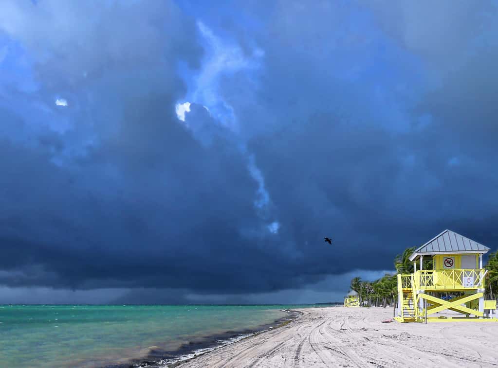
Behind the front, winds shifted to the north and northeast and strengthened noticeably, with gusts in the range of 30 to 35 miles per hour expected along the coast. The low pressure system associated with the front is forecast to organize into a nor'easter offshore over the weekend and into early this week, which is what drives the wind and the resulting marine hazards.
Rain chances fell to near zero across most of the peninsula for the first several days after the front, with abundant sunshine and afternoon highs in the mid-80s across Central Florida. Forecasters expect storm chances to return Wednesday through Friday as moisture works back into the state.
What changed and why it matters
The passage of a genuine cold front into the Florida peninsula in late September is the seasonal marker that ends the summer pattern. From roughly June through mid-September, Florida weather runs on a daily cycle driven by sea breezes converging over the interior, producing afternoon thunderstorms with near-mechanical regularity. A front replaces that pattern with one driven by continental air masses.
The immediate effect residents notice is humidity rather than temperature. Dew points, which measure absolute moisture content and correlate closely with how the air feels, drop sharply behind a fall front. An 85-degree afternoon with a dew point in the 50s is a fundamentally different experience from an 85-degree afternoon with a dew point near 80.
The timing was described by forecasters in North Central Florida as unusual, with the region's arrival of genuinely fall-like air coming in a form that had not occurred in more than five years. Florida frequently gets its first weak front in late September or early October, but one that pushes all the way through South Florida and produces 60s in Central Florida is less common this early.
The front reached South Florida as well, arriving there on September 25 and bringing the region its first taste of the season. South Florida typically has to wait weeks longer than the rest of the state for meaningful frontal passage because fronts weaken as they move down the peninsula.
The wind and marine hazards
The strongest practical consequence of this pattern is not the temperature but the wind. As the offshore low deepens into a nor'easter, the pressure gradient between it and high pressure building over the Southeast tightens, and the resulting northeast flow accelerates along Florida's Atlantic coast.
Gusts of 30 to 35 miles per hour create hazardous conditions for small craft, and boaters along the Atlantic coast and in the inlets should check the latest marine forecasts before going out. Inlets are particularly dangerous in sustained onshore wind, because the outgoing tide running against incoming swell produces steep, breaking seas in a confined channel.
Beachgoers face elevated rip current risk. Persistent onshore wind and increased wave energy drive water up onto the beach, and that water returns seaward through narrow channels that can pull a swimmer offshore faster than most people can swim. Rip currents kill more people in Florida in a typical year than hurricanes do.
Sustained northeast wind against the coast also produces minor beach erosion and elevated water levels in tidal areas, particularly around the times of higher high tides. Low-lying coastal roads in Northeast Florida and along the Indian River Lagoon are the most likely to see nuisance flooding under this setup.
What the tropics are doing
The Atlantic basin has remained quiet with respect to Florida. The National Hurricane Center has been tracking Tropical Depression Fay, which weakened from tropical storm strength and was centered well to the west-southwest of the Azores, roughly 970 nautical miles from the islands and moving slowly west-southwest with maximum sustained winds near 30 knots.
The center also issued its final advisory on Post-Tropical Cyclone Gonzalo, located north of the Cabo Verde Islands. Neither system poses any threat to Florida or to the United States, and both are far out in the open ocean on the eastern side of the basin.
The 2026 season has tracked in line with NOAA's forecast for below-normal activity, which the agency maintained in its updated seasonal outlook. Below-normal is a statement about basin-wide storm counts, not about landfall risk for any particular coastline, and Florida has been struck by major hurricanes in seasons that finished below average.
Hurricane season runs through November 30, and the climatological peak in mid-September has now passed. October remains an active month for the Gulf of Mexico and the western Caribbean, and October systems historically approach Florida from the southwest rather than from the east, which makes the Gulf Coast and the Keys the areas to watch for the remainder of the season.
What it means for Floridians this week
For most residents, the next several days are the best outdoor weather of the year. Low humidity, full sun and highs in the mid-80s across Central Florida make for conditions that do not recur often between May and November. Morning lows in the 60s are comfortable enough that air conditioning demand drops measurably.
Lower humidity does carry a fire weather consideration. Florida wildfire risk is usually associated with the spring dry season, but any extended stretch of dry air with wind increases the rate at which fine fuels cure. Residents should check local burn restrictions before conducting any outdoor burning.
Allergy sufferers often notice the opposite of relief. A shift to northerly flow brings continental air that can carry ragweed pollen into Florida from the north, and the drier, windier conditions keep particulates suspended longer than humid summer air does.
Agricultural operations in the state's interior watch these early fronts closely. Late September cold is nowhere near a frost threat for Florida citrus or winter vegetables, but the transition marks the start of the season during which growers begin tracking cold outbreaks seriously.
Regional variation
Central Florida saw the most pronounced change, with the front clearing the region and temperatures across most interior counties falling quickly into the 60s and expected to stay there into the middle of this week. Orlando and the Interstate 4 corridor sit in the zone where fall fronts have their clearest effect.
Northeast Florida and the Jacksonville area feel the wind component most strongly because the developing nor'easter sits closest to that stretch of coast. The combination of cooler temperatures and 30 mile per hour gusts produces conditions that feel considerably cooler than the thermometer reading.
Tampa Bay and the Gulf Coast get the temperature and humidity relief without the onshore wind hazard, since the flow is offshore on the west coast under this pattern. Offshore flow means calmer nearshore water in the Gulf, which is favorable for boating out of Tampa Bay, Sarasota and Fort Myers.
South Florida experienced the weakest version of the change, as fronts routinely stall or wash out before clearing Miami-Dade and Monroe counties. The region recorded the front's arrival on September 25 with modest cooling and drier air, along with breezy conditions along the Atlantic beaches.
How Florida's fall pattern works
Florida's dry season generally runs from roughly mid-October through mid-May. The mechanism is the southward migration of the mid-latitude jet stream, which brings frontal systems within reach of the peninsula and displaces the summer pattern of daily convection.
The state does not see a steady progression toward cooler weather. Individual fronts alternate with periods of returning moisture and warmth, which is why forecasters expect storm chances to rebuild Wednesday through Friday. Each successive front through October and November typically penetrates a little farther south and brings a slightly cooler air mass.
Whether Florida's coming winter runs warm, cool, wet or dry depends substantially on conditions in the equatorial Pacific. El Nino winters in Florida tend to be cooler and significantly wetter, with a more active subtropical jet, while La Nina winters tend to be warmer and drier, which elevates spring wildfire risk.
For residents, the seasonal practical shift is straightforward. Rainfall becomes episodic and frontal rather than daily and convective, lawn irrigation needs fall, and the window for outdoor activity widens considerably from what the summer allows.
What is next
Forecasters expect the dry, cool stretch to hold through the middle of this week before moisture returns and afternoon storm chances rebuild Wednesday through Friday. That return will not restore full summer humidity, but it will end the exceptional clarity of the first few post-frontal days.
The offshore nor'easter should move away through early this week, easing the wind and reducing rip current and small craft hazards along the Atlantic coast. Beach and marine conditions typically improve within a day or two of the low departing.
In the tropics, attention shifts to the Gulf of Mexico and western Caribbean for October, which is where late-season development most often occurs. Residents should keep hurricane supplies in place through November 30 rather than standing down after the September peak.
The National Hurricane Center issues its tropical weather outlook at least four times daily through the season, and the National Weather Service offices in Miami, Tampa Bay, Jacksonville, Melbourne, Tallahassee and Key West issue the local forecasts and any watches or warnings that Florida residents should act on.
Residents should also use the break in the weather practically. A dry, cool stretch is the best window of the year for clearing gutters and downspouts, trimming trees away from roofs and power lines, and checking shutters and window protection before the next tropical threat. Those tasks are far harder to complete in August heat or with a storm in the forecast.
Spotted an issue with this article?
Have something to say about this story?
Write a letter to the editor