Hurricane Center Tracking Invest 92L as Atlantic Season Nears Peak
The National Hurricane Center is tracking a disturbance in the central tropical Atlantic that forecasters say is likely to become a tropical depression later this week, giving the system a 70 percent chance of development over seven days and a 30 percent chance over 48 hours. The system, designated Invest 92L, was located several hundred miles southwest of the Cabo Verde Islands and moving westward to west-northwestward.
No watches or warnings are in effect for Florida or for any land area, and the system is thousands of miles from the state. At this distance, the forecast track is not meaningful, and the appropriate response for Florida residents is awareness rather than action.
Forecasters are also monitoring a second area east of Bermuda with a low development chance, listed at roughly 10 percent. Earlier in the week the Hurricane Center had been tracking multiple tropical waves across the basin, a normal pattern as the season approaches its climatological peak.
What an invest actually is
The term invest is shorthand for investigation area. It is a designation forecasters apply to a weather system they want to monitor with additional data collection and specialized computer model runs. An invest is not a storm, and the designation carries no forecast of intensity or track.
Numbers cycle from 90 through 99 and then repeat, with the letter L indicating the Atlantic basin. The same number will be reused several times during a season, which is why an invest number is not a useful identifier for a specific system beyond the current week.
The next step, if the system organizes, is classification as a tropical depression, which requires a closed low-level circulation and maximum sustained winds up to 38 miles per hour. At 39 miles per hour it becomes a tropical storm and receives a name. At 74 miles per hour it becomes a hurricane.
Development chances published by the Hurricane Center are probabilities that the system will reach at least tropical depression strength within the stated window. A 70 percent seven-day chance means forecasters expect development but are not certain of it, and it says nothing about where the system goes afterward.
Why the Cabo Verde region matters
The area southwest of the Cabo Verde Islands off the west coast of Africa is the origin point for what meteorologists call Cabo Verde storms, systems that form from tropical waves moving off the African continent and then travel the length of the Atlantic. These are the classic long-track storms, and historically they include many of the most intense hurricanes on record.
The season for Cabo Verde development runs roughly from mid-August through late September, coinciding with the period when the Atlantic is warmest, wind shear is lowest, and Saharan dust outbreaks that suppress development have typically diminished.
The long journey across the basin is what makes these systems consequential and also what makes early forecasts unreliable. A system forming near Cabo Verde has 8 to 12 days of travel before it could approach the Caribbean or the United States, and small differences in the steering pattern over that period translate into enormous differences in outcome.
Many Cabo Verde systems recurve northward into the open Atlantic without affecting land. Others track into the Caribbean or toward the Gulf. The determining factor is the position and strength of the Bermuda High, the semi-permanent area of high pressure over the subtropical Atlantic, and that pattern cannot be forecast with confidence more than about a week out.
Where the season stands
NOAA issued a below-normal outlook for the 2026 Atlantic hurricane season. A below-normal forecast reduces the expected number of storms across the basin but says nothing about where any individual storm goes, and Florida's risk in any given season is driven by track, not by count.
This is the point in the calendar when activity typically increases sharply. The climatological peak of the Atlantic season falls around September 10, and the period from mid-August through early October accounts for the large majority of major hurricane activity in an average year.
Florida's exposure is unmatched among U.S. states. The peninsula extends roughly 400 miles into the zone where Atlantic and Gulf systems travel, and the state has more coastline exposed to tropical systems than any other in the continental United States. More hurricanes have made landfall in Florida than in any other state.
The state has absorbed a run of significant storms over the past several years, including Ian in 2022, Idalia in 2023, and Helene and Milton in 2024, which reshaped insurance markets, building practices, and evacuation planning across multiple regions.
Watches versus warnings
The distinction between a watch and a warning is the single most important piece of hurricane vocabulary, and it is routinely confused. A tropical storm or hurricane watch means the associated conditions are possible within the specified area, generally within 48 hours. A warning means those conditions are expected within the area, generally within 36 hours.
A watch is the point at which residents should complete preparations. A warning is the point at which preparations should already be finished and attention should shift to executing an evacuation plan if one applies.
Storm surge watches and warnings are issued separately from wind watches and warnings, because the surge threat can extend well beyond the area facing the strongest winds. Surge is the leading cause of death in U.S. hurricanes, and the surge forecast should be treated as the primary evacuation driver in coastal counties.
Evacuation orders come from county emergency management, not from the National Hurricane Center, and they are issued by zone. An order affecting a county does not mean everyone in that county must leave. Residents should know their evacuation zone before a storm threatens, since zones are based on surge vulnerability rather than on distance from the coast.
What Florida residents should do now
Nothing about Invest 92L requires action in Florida this week. It does provide a useful prompt for the preparations that are far easier to make now than during a warning.
Know your evacuation zone. Every coastal county publishes a zone lookup, typically searchable by address, and zones have been revised in several counties following recent storms. Knowing the zone in advance eliminates the most common source of confusion when an order is issued.
Check supplies against the standard guidance: at least seven days of water at one gallon per person per day, non-perishable food, medications, batteries, a battery or hand-crank radio, cash, and full documentation of insurance policies and property condition. Florida's disaster preparedness sales tax holidays have already passed for this season, but supplies remain available.
Review insurance now rather than later. Most Florida homeowners policies exclude flood damage, which requires a separate policy through the National Flood Insurance Program or a private carrier, and new flood policies generally carry a 30-day waiting period. A policy purchased when a storm is approaching will not cover that storm.
How the forecast gets made
The products the Hurricane Center issues rest on an observing and modeling system that most people never see, and understanding it explains both why forecasts have improved and why uncertainty persists.
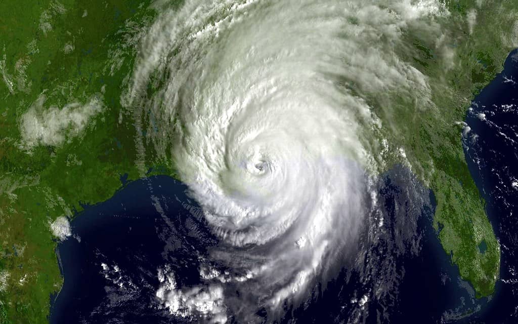
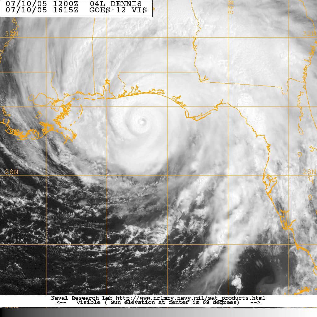
Satellite observation provides continuous coverage of the basin, and forecasters use established techniques to estimate intensity from cloud patterns when direct measurements are unavailable. For systems far from land, satellite analysis is often the only source.
Aircraft reconnaissance provides the direct measurements. Air Force Reserve Hurricane Hunter crews based at Keesler Air Force Base in Mississippi and NOAA aircraft based at Lakeland Linder International Airport in Florida fly into storms, releasing instrument packages that measure pressure, temperature, humidity, and wind as they descend. Those data are transmitted in real time and ingested into the forecast models.
The models themselves divide into global systems that simulate the entire atmosphere and regional hurricane models built specifically for tropical cyclones at higher resolution. Forecasters compare their output, weight them according to demonstrated skill, and apply judgment.
Track forecast accuracy has improved dramatically over recent decades, with errors at most forecast intervals cut by more than half. Intensity forecasting has improved more slowly, and rapid intensification remains the hardest problem in the field, which is why Florida residents should never assume a storm will arrive at the strength currently forecast.
Reading the forecast responsibly
The gap between what forecasters know and what circulates online has become its own hazard. Several practices help residents separate signal from noise during an active season.
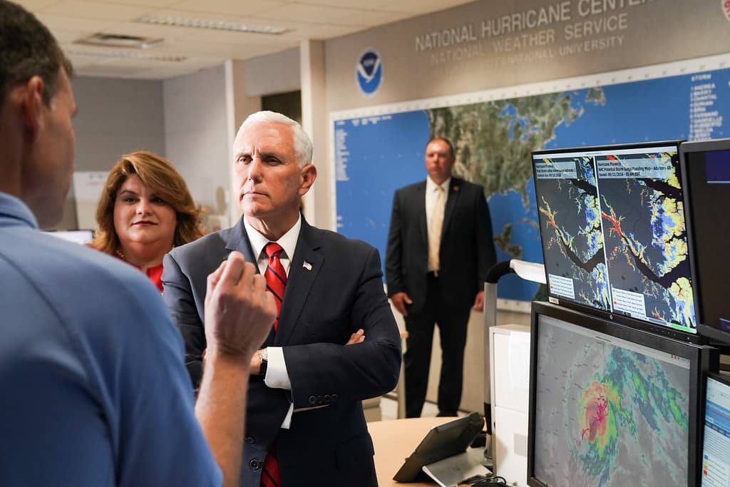
Treat the National Hurricane Center as the only authoritative source. Its products are produced by forecasters with access to reconnaissance aircraft data, satellite analysis, and the full suite of models, and they carry accountability that social media accounts do not. Local National Weather Service offices in Miami, Tampa Bay, Jacksonville, Melbourne, Key West, Tallahassee, and Mobile translate those products into county-level impact forecasts.
Ignore single model runs at long range. Images showing a specific storm track 10 or 12 days out are model output, not forecasts, and the individual runs of any model change substantially every six hours. Forecasters look at the consistency of an ensemble across many runs, which is information a single image cannot convey.
Focus on impacts rather than category. The Saffir-Simpson scale measures wind only, and it says nothing about surge, rainfall, or storm size. Some of the most destructive Florida storms in recent memory caused their worst damage through water rather than wind, and a large tropical storm can produce more flooding than a compact hurricane.
What's next
The Hurricane Center issues tropical weather outlooks four times daily during hurricane season, at 2 a.m., 8 a.m., 2 p.m., and 8 p.m. Eastern time, with intermediate updates when systems are active. Those outlooks are the authoritative source for development probabilities.
If Invest 92L becomes a tropical depression, the Hurricane Center will begin issuing full advisories with a forecast track and intensity cone every six hours. Even then, the cone represents the probable path of the storm center and historically contains the actual track about two-thirds of the time, with impacts frequently extending well outside it.
Florida residents should treat any single forecast model image circulating on social media with skepticism. Individual model runs at 10-day range have essentially no skill, and the Hurricane Center's official forecast reflects a consensus of guidance plus forecaster judgment.
The Atlantic season runs through November 30. The Florida Press will continue tracking developments in the basin and will report on any system that develops a credible threat to the state.
Spotted an issue with this article?
Have something to say about this story?
Write a letter to the editor