Hurricane Center Tracks Three Atlantic Systems as Florida Enters Peak Season
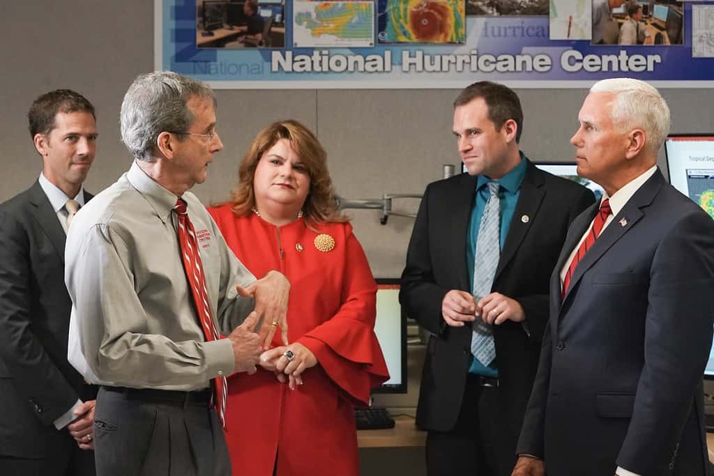
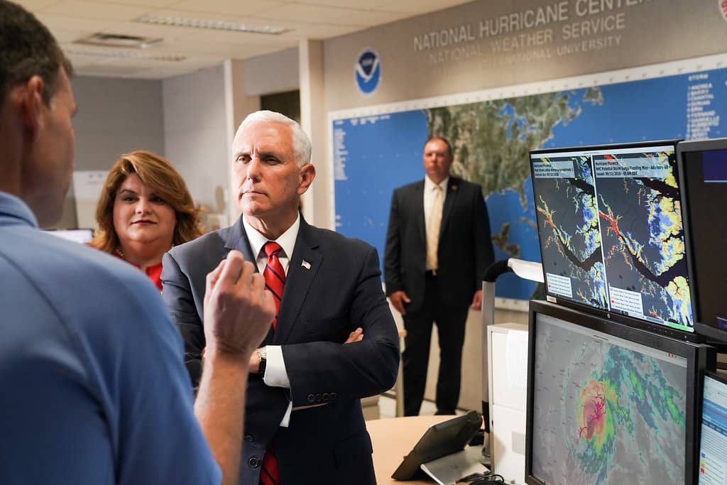
The National Hurricane Center is monitoring several disturbances across the Atlantic basin this week, the clearest sign yet that a slow-starting 2026 season is beginning to stir as Florida moves toward the climatological peak of hurricane activity. Forecasters have flagged areas in the eastern tropical Atlantic and a separate feature farther north, with the most closely watched system expected to track in the general direction of the Caribbean islands later in the week. For Florida, none of the systems currently poses a defined threat, but the shift in pattern is the reason emergency managers spend August reminding residents that preparation windows close quickly.
The activity comes after weeks in which the Atlantic's Main Development Region, the broad corridor of warm water stretching from the coast of Africa to the eastern Caribbean, stayed unusually quiet. Tropical waves rolled off the African coast on schedule but ran into dry air, Saharan dust and hostile upper-level winds that prevented them from organizing. That is a common early-season pattern. It is also a pattern that historically breaks down in the second and third weeks of August.
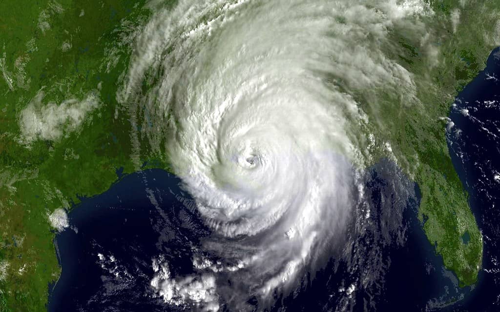
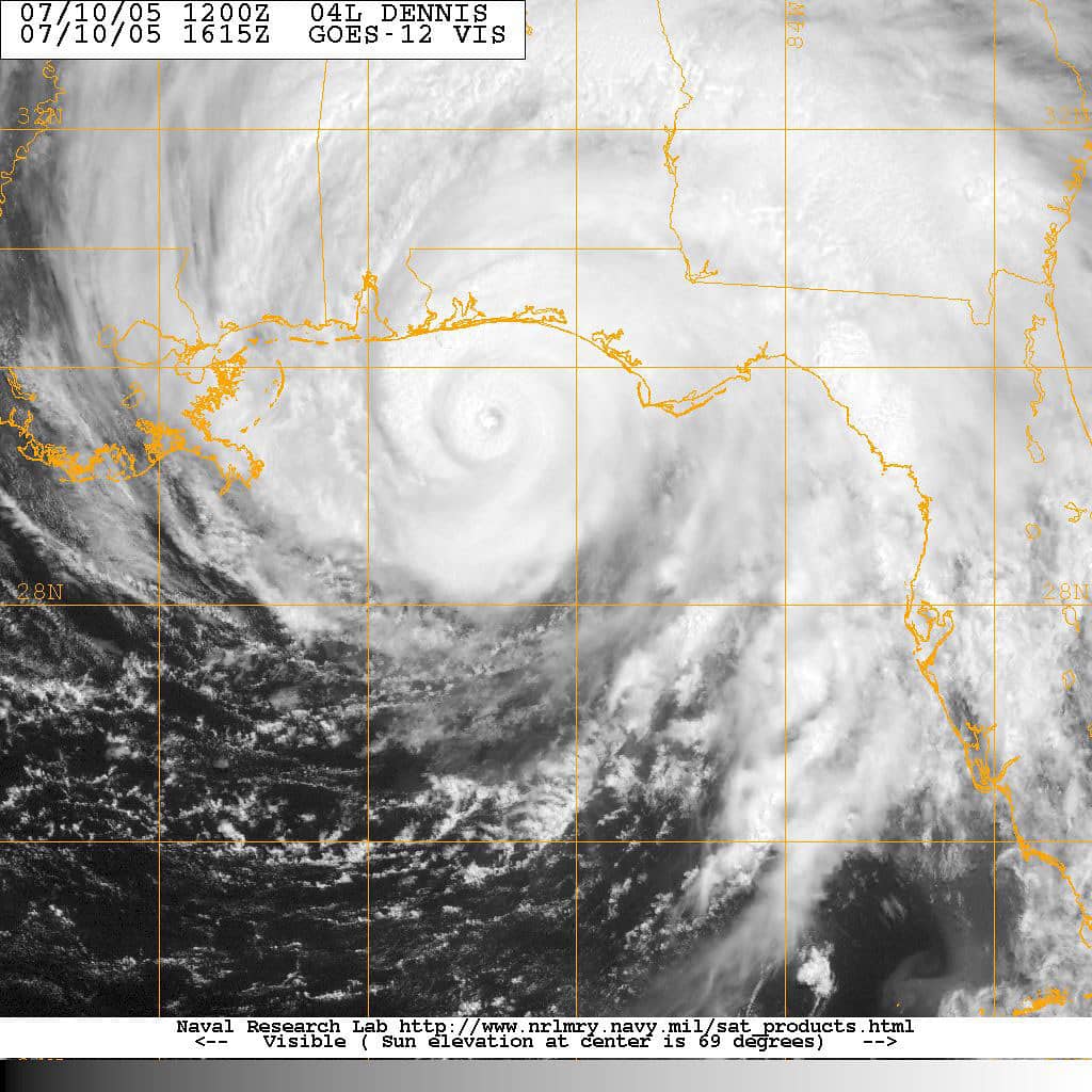
What makes this week different is that forecasters are describing a genuine possibility of development rather than a routine wave train. One of the areas under watch involves two circulation centers, one already over open water and a second still emerging from Africa, with the expectation that the offshore feature will absorb the moisture of the inland one. That kind of consolidation is often the precursor to a tropical depression, provided the combined system can fend off the surrounding dry air long enough to build a persistent core of thunderstorms.
What forecasters are watching
The area drawing the most attention sits in the eastern tropical Atlantic, well east of the Lesser Antilles. Model guidance has been consistent in nudging it westward toward the northeastern Caribbean over the coming days. Forecasters have assigned it a moderate chance of becoming at least a tropical depression during the week, a probability that has fluctuated as the system's structure has changed.
A second area farther north in the Atlantic is also under evaluation, though systems in that part of the basin generally curve out to sea without threatening land. A third feature has been mentioned in various forecast discussions, reflecting how crowded the basin has become after a long quiet stretch. It is worth stressing that being listed in a tropical weather outlook is not the same as being a storm. Most flagged areas never develop.
The key limiting factor is wind shear, the change in wind speed or direction with height that can tear a developing storm apart before it consolidates. Shear values across the central Atlantic and through the northern Lesser Antilles have been running high, in some analyses between 25 and 50 knots. Values in that range are generally enough to prevent organization outright, and forecasters have noted that conditions near the northeastern Caribbean are expected to be especially hostile around the time the lead system arrives.
That combination is why several forecast discussions have described a system that may organize over open water and then weaken or dissipate as it approaches the islands. Floridians should read that as a reason to keep watching rather than a reason to worry. Forecast tracks and intensity projections at ranges of five days and beyond carry substantial uncertainty, and shear forecasts in particular can change materially from one model run to the next.
Where the 2026 season stands
The National Oceanic and Atmospheric Administration issued a below-normal outlook for the 2026 Atlantic hurricane season, projecting a range of roughly 7 to 13 named storms, 2 to 6 hurricanes and up to two major hurricanes reaching Category 3 strength or higher. The agency attributed the below-normal call to competing signals, most notably an expected El Nino pattern that tends to increase Atlantic wind shear, partially offset by ocean temperatures running slightly warmer than average and trade winds that are likely weaker than usual.
Seasonal outlooks describe basin-wide activity. They do not forecast landfalls, and they carry no information about which coastlines are at risk. Florida's most destructive hurricanes have arrived in seasons of every description, including quiet ones. A below-normal projection reduces the number of opportunities for a storm to form. It does nothing to reduce the consequences if one of those storms happens to find the peninsula.
The season's real test period is now beginning. Climatologically, Atlantic activity ramps sharply through the back half of August, peaks around September 10 and stays elevated well into October. The basin has produced comparatively little so far in 2026, which means the statistical bulk of the season remains ahead rather than behind.
Why Saharan dust has kept the basin quiet
Much of the early-season suppression this year has been attributed to the Saharan Air Layer, a mass of dry, dusty air that lifts off the African continent and moves west across the Atlantic. The layer is at its strongest from late June through mid-August, and it works against tropical development in two ways. The dry air chokes off the deep thunderstorm activity a storm needs to organize, and the layer typically carries a strong mid-level jet that adds shear.
Forecasters have been explicit that the dust factor is the reason several promising waves fizzled earlier this summer. The question they are now asking is whether the current system carries enough moisture of its own to insulate a developing core from the surrounding dry air. That is a hard call to make from satellite imagery alone, which is why development probabilities have moved up and down over the past several days.
Seasonally, the Saharan Air Layer weakens as August progresses. That transition, more than any single system, is what changes the outlook for the rest of the season. When the dust thins and shear relaxes, the same waves that dissipated in July can develop rapidly.
What Floridians should do now
The Florida Division of Emergency Management and county emergency management offices consistently give the same advice at this point in the calendar, and it does not depend on any particular system. Households should confirm they know their evacuation zone, which is assigned by address and is not the same as a flood zone. Zone assignments are published by each county and can be checked online in a few minutes.
Supply kits should be built now rather than during a warning. The standard recommendation is a minimum of seven days of water at one gallon per person per day, non-perishable food, medications, and a supply of cash, since power outages disable card readers and ATMs. Homeowners should also confirm what their insurance actually covers, because standard property policies exclude flood damage and separate flood coverage generally carries a 30-day waiting period before it takes effect.
Documentation is the step most often skipped. Photographing the interior and exterior of a home, along with major appliances and serial numbers, takes very little time and materially speeds up claims. Storing those photos in cloud storage rather than on a device that may be lost or damaged is the practical version of that advice.
How to read a tropical outlook
The terminology matters, and confusion about it causes real problems every season. A tropical weather outlook assigns a percentage chance of development over two-day and seven-day windows. It does not indicate strength, track or landfall risk. A named storm is one that has reached sustained winds of 39 mph.
A hurricane watch means hurricane conditions are possible within the specified area, generally within 48 hours. A hurricane warning means hurricane conditions are expected, generally within 36 hours. The distinction is not stylistic. A watch is the point at which preparations should be completed; a warning means the window for safe action is closing.
Evacuation orders, when they come, are issued by county emergency management and are zone-specific. An order covering one set of zones in a county does not require residents in other zones to leave, and the practice of evacuating unnecessarily contributes to the congestion that makes evacuation harder for people who genuinely need to move.
The Cabo Verde season begins
The systems now under watch belong to what forecasters call the Cabo Verde season, the stretch of the year when tropical waves emerging from West Africa become the dominant source of Atlantic storms. Those waves travel westward across the basin over roughly a week to 10 days, and the ones that develop tend to produce the longest-lived and most intense hurricanes of any season.
The distinction matters for Florida because of where these storms form and how they move. A system that develops in the far eastern Atlantic has thousands of miles of warm water ahead of it and ample time to organize. Storms that form closer to home, in the Gulf or the western Caribbean, give far less warning but also have less runway to intensify.
Historically, the storms that have caused the greatest damage in Florida have come from both categories. Long-track Cabo Verde hurricanes have struck the peninsula repeatedly, and so have systems that spun up rapidly in the Gulf with only days of notice. Neither origin should be treated as the one that matters.
Why rapid intensification changed the calculus
One of the most consequential shifts in hurricane forecasting over the past decade has been the increasing frequency of rapid intensification, defined by the National Hurricane Center as an increase in maximum sustained winds of at least 35 mph within 24 hours. Several storms affecting Florida in recent years have strengthened dramatically in the final day or two before landfall.
Track forecasting has improved substantially. Average track errors at 72 hours have fallen by more than half over the past three decades, which is why cone graphics have narrowed. Intensity forecasting has improved far more slowly, because the internal dynamics that govern strengthening operate at scales that models resolve poorly.
The practical consequence for households is that preparation timelines should be built around the possibility that a storm arrives stronger than forecast. A plan that only works if a system stays a Category 1 is not a plan. Preparing for the reasonable worst case within the cone is the approach emergency managers consistently recommend.
Insurance timing that matters now
Insurance is the preparation step with a hard deadline that most Floridians discover too late. Standard homeowners policies exclude flood damage entirely, and separate flood coverage through the National Flood Insurance Program generally carries a 30-day waiting period before it takes effect. A policy purchased when a storm is already named will not cover that storm.
Carriers also impose binding restrictions, freezing new policies and coverage increases once a named storm enters a defined area near the state. Those moratoriums can take effect with little notice and typically remain in place until the threat passes, which means the window to adjust coverage closes before most people start paying attention.
Homeowners should confirm three things now: whether they carry flood coverage at all, what their hurricane deductible actually is, since Florida policies typically use a percentage of insured value rather than a flat dollar amount, and whether their policy covers additional living expenses if the home becomes uninhabitable.
What's next
The National Hurricane Center updates its tropical weather outlooks at least four times daily, at 2 a.m., 8 a.m., 2 p.m. and 8 p.m. Eastern time, with intermediate updates when conditions warrant. Those bulletins, along with local National Weather Service forecast offices in Miami, Tampa Bay, Jacksonville, Melbourne, Key West, Tallahassee and Mobile, are the authoritative sources for Florida conditions.
The immediate question is whether the lead Atlantic system can consolidate before it reaches the hostile shear environment near the northeastern Caribbean. If it cannot, the basin may quiet again briefly. If it can, forecasters will have a much better read on how the rest of August is likely to unfold.
Either way, the seasonal pattern is turning. Florida residents who have not yet reviewed their plans have a window now, in calm conditions, that will not be available later. That is the entire argument for acting during a week when nothing is threatening the state.
Spotted an issue with this article?
Have something to say about this story?
Write a letter to the editor