Peak of Hurricane Season Passes Quietly for Florida as a Stalled Low Soaks the South Coast
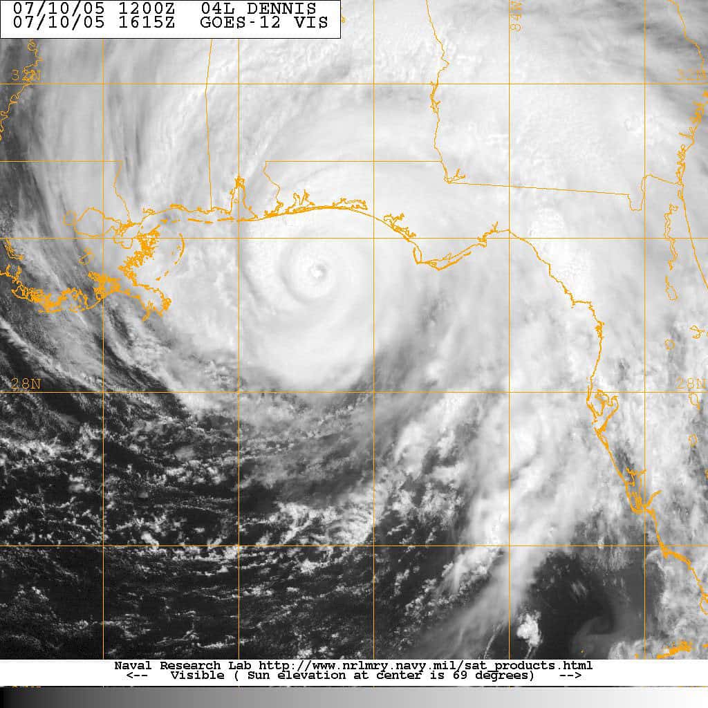
Florida moved through the climatological peak of the Atlantic hurricane season without a storm threatening the state, with the National Hurricane Center tracking no system in the basin positioned to affect Florida over the weekend and forecasters indicating that tropical cyclone formation was not expected over the following seven days.
The only named system under advisory was Tropical Depression Six, located several hundred miles southwest of the Azores in the far eastern Atlantic, thousands of miles from the United States. As of Saturday afternoon the depression carried maximum sustained winds near 35 mph and was drifting north at about 2 mph, a weak system in open ocean with no path toward North America.
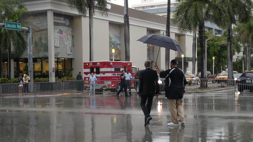
Closer to home, the weather that mattered to Floridians came from an entirely different source. A strong upper level low continued to sit over the region, producing repeated rounds of showers and thunderstorms across South Florida through the weekend, with scattered activity expected to linger into Sunday morning, particularly along the coast. Forecasters warned that some storms could produce heavy rain and localized flooding.
Where the tropics stand
The climatological peak of the Atlantic hurricane season falls in the second week of September, and the weeks immediately following it are historically among the most active of the year. Passing that window without a Florida threat is favorable but not conclusive, since the season does not end until November 30 and several damaging Florida storms in recent decades have formed in October.
NOAA has maintained a forecast for a below normal Atlantic hurricane season in 2026, a projection the agency reaffirmed in its updated seasonal outlook. A below normal forecast reduces the expected number of storms across the basin. It does not reduce the risk to any particular location, because a single landfalling storm produces the same damage regardless of how many other storms formed that year.
That distinction is the one emergency managers repeat most often, and for good reason. Hurricane Andrew struck in a season that produced few storms. Seasonal totals describe basin wide activity. They say nothing about whether a specific coastline will be hit.
The current configuration in the basin, with a weak system near the Azores and no areas flagged for development over the following week, means Floridians have a genuine window without tropical concern. How long it holds depends on conditions that forecasters can project reliably only a week or so ahead.
Why South Florida has been so wet
The rain affecting South Florida over the weekend came from an upper level low, a pocket of cold air aloft that sits above the surface and destabilizes the atmosphere beneath it. These features can stall for days, and when one parks over or near the Florida peninsula the result is repeated daily rounds of showers and storms rather than a single passing system.
The mechanism differs from the afternoon sea breeze thunderstorms that define a typical Florida summer day. Sea breeze storms follow a predictable cycle, building in the afternoon as the land heats and collapsing after sunset. An upper level low removes that timing constraint, allowing storms to develop at any hour and to redevelop repeatedly over the same areas.
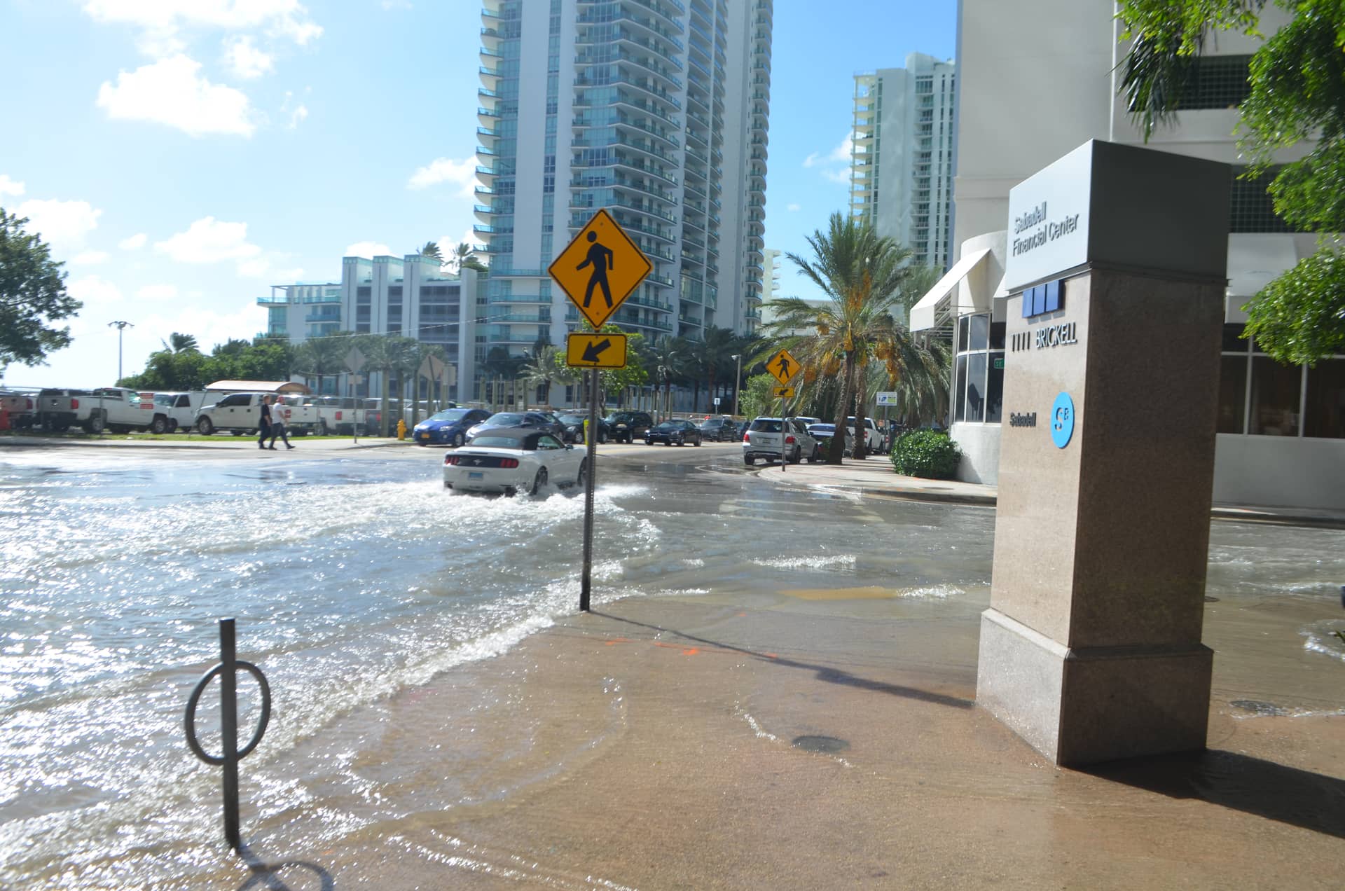
Repeated redevelopment over the same ground is what produces flooding. South Florida's drainage infrastructure is engineered to move large volumes of water, but it depends on canals and pumps that have finite capacity and on water tables that in the late wet season are already high. When several inches of rain fall on ground that cannot absorb more, water accumulates on streets.
September sits at the end of Florida's wet season, which means the ground has absorbed months of accumulated rainfall and the regional water management system is operating with less available storage than it would have in spring.
What flooding risk looks like in South Florida
Urban flooding in Miami-Dade, Broward and Palm Beach counties typically appears first in the same locations: low lying intersections, underpasses, neighborhoods built on filled wetland and areas where drainage capacity has not kept pace with development.
The hazard is driving rather than property damage in most cases. A foot of moving water can float most passenger vehicles, and floodwater on a road obscures depth, debris, open drains and washed out pavement. The standard guidance from emergency management agencies is not to drive through standing water of unknown depth, and the overwhelming majority of flood fatalities nationally occur in vehicles.
Tidal timing compounds the problem along the coast. When heavy rain coincides with a high tide, particularly during the seasonal king tides that peak in the fall, the drainage system has less gradient to push water out, and flooding lasts longer. South Florida communities have been managing that interaction with increasing frequency as sea levels have risen.
Residents in flood prone areas can reduce exposure with basic steps: move vehicles to higher ground when heavy rain is forecast, clear storm drains near the property of leaves and debris, and avoid scheduling travel through known problem intersections during the heaviest activity.
The quiet season and the complacency problem
Florida emergency managers have spent the season making a point that becomes harder to sell the longer a quiet stretch lasts: a season without a storm does not mean a state without risk, and the period after the peak is exactly when preparation tends to lapse.
The pattern is well documented. Households that stock supplies in June begin consuming them by September. Generators purchased after a previous storm go without maintenance. Insurance policies that should have been reviewed before the season are not reviewed at all. Each of those lapses matters only if a storm comes, which is precisely why they happen.
Florida designated September as Preparedness Month, with state officials urging residents to use the period to check supplies, confirm evacuation zones and review insurance coverage. The timing is deliberate, placing the message in the middle of the season rather than at its start.
One preparation item carries a hard deadline this year. Flood coverage is not included in standard homeowners insurance, and policies written through the National Flood Insurance Program generally carry a 30 day waiting period before taking effect. The program's authorization is set to expire at the end of September unless Congress acts, which adds urgency for anyone who has been considering coverage.
What the rest of the season could bring
October storms in the Atlantic often form in the western Caribbean rather than off Africa, a pattern driven by the seasonal shift in where conditions favor development. Systems forming there can reach Florida quickly, which compresses the warning time residents have relative to a storm crossing the full Atlantic.
Hurricane Michael in 2018 struck the Panhandle in October. Hurricane Wilma crossed South Florida in late October 2005. Hurricane Milton made landfall on the west coast in October 2024. The late season is not a safe period for Florida, and the geography of late season formation tends to favor exactly the parts of the state that a quiet September can lull.
Forecasters will be watching the Caribbean and the southwestern Gulf through October for the signatures that precede development there. Those signals are generally visible several days ahead, though the rapid intensification that has characterized several recent Gulf storms can compress that lead time substantially.
What it means for Floridians
For most of the state, the immediate practical situation is ordinary late wet season weather: daily rain chances, occasional heavy downpours and no tropical threat. For South Florida specifically, the weekend pattern means continued shower activity, wet roads and the possibility of standing water in the usual locations.
For anyone who has been putting off preparation, the quiet stretch is an opportunity rather than a reprieve. Supplies are available, generators can be serviced without a queue, and insurance questions can be resolved with an agent who is not fielding claims.
The state's evacuation zone maps remain the single most useful item for coastal residents to check, because zone assignment determines what orders apply to a specific address and because many residents who have lived in Florida for years have never looked theirs up.
Reading a forecast without being misled
The National Hurricane Center publishes several products that are routinely misread, and the confusion tends to matter most when a storm is approaching and residents have decisions to make.
A watch and a warning are not the same thing. A hurricane watch means hurricane conditions are possible within the specified area, generally within 48 hours. A hurricane warning means hurricane conditions are expected, generally within 36 hours. A watch is the signal to complete preparations. A warning means the window for outdoor preparation is closing.
The forecast cone is the product most often misunderstood. It shows the probable track of the storm's center, and historically the center stays within it roughly two thirds of the time. It says nothing about the size of the storm, and hazards including surge, wind and rainfall routinely extend far beyond its edges. A location outside the cone is not a location without risk.
Evacuation orders in Florida are issued by county emergency management and are specific to zones, not to whole counties. An order covering Zone A in a county does not apply to a resident in Zone C. Knowing which zone an address falls in is the single most useful piece of preparation information a coastal resident can have, and county emergency management websites publish lookup tools for it.
What a quiet season costs and saves
A season without a Florida landfall has effects beyond the obvious relief. Insurance carriers that avoid a catastrophe year rebuild reserves, which over time supports the rate moderation that has begun to appear in the Florida market after years of increases.
Citizens Property Insurance Corporation, the state backed insurer, carries exposure that depends directly on storm outcomes, and quiet seasons allow the private market to take policies back from it. That depopulation process has been a stated state policy goal, and it progresses only in the absence of major losses.
The offsetting cost is preparedness. Every year without a storm adds residents who have never experienced one, particularly given Florida's rate of in migration. A household that moved to the state within the past few years may have no direct experience of a major hurricane, and that inexperience becomes a liability when one eventually arrives.
What's next
The upper level low driving South Florida's rain is expected to weaken its influence as the pattern shifts, though forecasters cautioned that scattered showers would persist into Sunday, particularly near the coast. Local National Weather Service offices in Miami, Tampa Bay and Jacksonville issue the most specific short term guidance for their regions.
In the tropics, the National Hurricane Center's assessment that formation is not expected over the next seven days covers the near term. Outlooks are updated multiple times daily during the season, and the seven day window is the longest horizon the center forecasts for formation probability.
Roughly ten weeks remain in the 2026 Atlantic hurricane season. Florida has now passed the statistical peak without a threat, which is the good news. The historical record on October storms is the reason that is not the same as passing the season.
Spotted an issue with this article?
Have something to say about this story?
Write a letter to the editor