NOAA Winter Outlook Favors a Wet Florida Winter as a Very Strong El Niño Builds
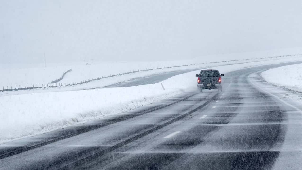
Florida is headed for a wetter-than-normal winter, according to the 2026-27 U.S. Winter Outlook that NOAA released Oct. 15, with a strong to very strong El Niño expected to steer an active storm track across the Gulf and the Southeast from December through February. The outlook favors near-normal temperatures for much of the state, and forecasters say the same pattern raises the risk of winter severe weather, a combination Floridians have seen before in the state's strongest El Niño seasons.
The forecast landed during a week that already felt like a change of season. South Florida woke up Wednesday, Oct. 21, to what WPLG Local 10 called one of the coolest mornings in months, and off the East Coast a storm system had a 40 percent chance of becoming Subtropical Storm Josephine before racing out to sea.
What NOAA's outlook says for Florida
NOAA's outlook covers December 2026 through February 2027. It favors wetter-than-average conditions across the southern United States from California to Florida and along the Eastern Seaboard, and it says near-normal temperatures are most likely for parts of the Southeast, including Florida. Ken Graham, director of the National Weather Service, said in the release that a very strong El Niño will likely shift the jet stream south and east across the contiguous U.S.
The Climate Prediction Center's technical discussion, issued the same morning, is more specific. It says the greatest likelihood of a wetter-than-normal season anywhere in the country is over the Southeast and Florida, and that the odds of above-normal precipitation exceed 70 percent for some areas of the extreme Southeast and northern Florida through the January to March 2027 period. Above-normal Southeast rainfall is one of the most reliable signals of an El Niño, the center wrote.
The temperature picture is split by region. The following table summarizes the center's outlook for Florida.
| Season | Temperature signal | Precipitation signal |
|---|---|---|
| Nov. to Jan. | Above normal in South Florida; near normal in North Florida and the Southeast | Above normal for the Southeast, including Florida |
| Dec. to Feb. | Near normal most likely for Florida | Above normal, highest odds in the Southeast and Florida |
| Jan. to Mar. 2027 | Near normal; models split | Above 70% odds of wet in parts of North Florida |
| Feb. to Apr. 2027 | Near-normal area ends | Wet signal slowly fades through spring |
The center flagged a real disagreement in its guidance on temperatures. Dynamical computer models show elevated odds, in some cases strongly, of below-normal temperatures for the Southeast and Florida as the winter goes on, peaking from January through April. Forecasters wrote that they believe those models are overestimating how cool daytime highs will be, while statistical tools that account for long-term warming and for warmer, cloudier nights favor near- to above-normal readings. Near normal is the compromise.
How strong this El Niño is
The Climate Prediction Center's Oct. 8 El Niño diagnostic discussion says the event continues to strengthen, with a strong to very strong El Niño likely through January to March 2027 at greater than an 83 percent chance. The Niño 3.4 index, the main measure of the event's strength, reached 2.1 degrees Celsius above average last month, and sea surface temperature departures exceeded 4 degrees Celsius in parts of the eastern equatorial Pacific.
The center also said chances are high that this becomes a historic event, stronger than any El Niño on record back to 1950. It put the odds of a three-month index value of 2.5 degrees Celsius or more at 54 percent for September to November, 83 percent for October to December and 70 percent for November to January. With an event that large, the center wrote, impacts consistent with El Niño are more likely, though not guaranteed. The next diagnostic discussion is scheduled for Nov. 12.
Why El Niño matters for severe weather in Florida
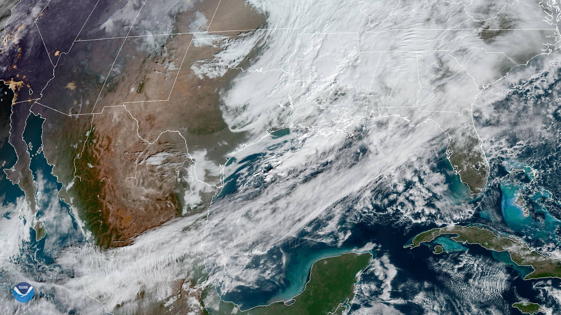
An El Niño winter typically brings a strengthened subtropical jet stream across the Gulf, which feeds a parade of low-pressure systems and fronts into Florida. That means more clouds and rain, and it also means more wind shear. Wind shear tends to be much stronger during an El Niño, which enhances the threat of strong storms and tornadoes, WKMG News 6 meteorologists wrote in their September winter outlook. News 6 said the severe weather threat appears greatest in December and February.
The deadliest tornado outbreak in Florida history came during a strong El Niño. Over Feb. 21 to 23, 1998, during the very strong 1997-98 event, 15 tornadoes struck Central Florida, killing 42 people and injuring 259, many of them in mobile homes in Osceola, Orange, Seminole and Volusia counties. The National Weather Service office in Melbourne had warned in October 1997 that El Niño could enhance severe weather that winter. Forecasters caution that no single El Niño guarantees an outbreak; many factors determine whether storms turn severe on a given day.
The rain could help in one respect. NOAA expects drought to improve or end across the Southeast by late January, which would follow a 2026 drought that, according to the U.S. Drought Monitor, covered nearly all of Florida at its peak in April. But too much rain falling on dry ground can also fuel flash flooding, Graham said in the release.
A cool start and a possible Josephine
Wednesday's weather offered a preview of fall rather than winter. Local 10 meteorologists reported lows in the upper 60s and low 70s across South Florida behind a strong north wind, with drier air and highs near seasonal levels in the mid-80s. The northeast breeze created hazardous marine conditions and a high risk of rip currents at Atlantic beaches. In Tampa Bay, FOX 13 forecast a mostly sunny, breezy day with a high of 83.
The National Hurricane Center's 8 a.m. outlook Wednesday tracked a storm-force, non-tropical low a few hundred miles off the mid-Atlantic coast, labeled Invest 93L. The center said the low could lose its frontal features over the next day or two while drifting north-northeast over the Gulf Stream and possibly take on subtropical characteristics, giving it a 40 percent chance of formation over both 48 hours and seven days. By Friday, the system is expected to accelerate northeast away from the United States into an unfavorable environment.
If it develops, it would be named Josephine, the next name on this year's Atlantic list. It poses no threat to Florida. The hurricane center warned that high winds, coastal flooding and dangerous surf are expected along portions of the U.S. East Coast regardless of whether it is named. The Atlantic hurricane season runs through Nov. 30.
What's next
NOAA will update its three-month outlook on Nov. 19, and the Climate Prediction Center's next El Niño update arrives Nov. 12. Florida's dry season usually runs from late fall into spring, so a wet El Niño winter would mean rain in months that are normally among the driest of the year.
Spotted an issue with this article?
Have something to say about this story?
Write us a letterComments
No comments yet. Be the first to weigh in.
Related Coverage

Storm-Force Low Off Southeast Coast Has 40% Chance to Turn Subtropical as Florida Coast Faces Tidal Flooding, Rough Surf
2d ago
Strong fall cold front brings Florida Saturday rain, cooler air and dangerous surf this weekend
5d ago
Hurricane Center Gives Atlantic Low Near Cabo Verde a 20% Chance as Florida Gets a Break After Isaias
Oct 12

Tallahassee and the Big Bend Escape Isaias' Worst, With Downed Trees, Brief Outages and Rising Rivers to Watch
Oct 9