The Atlantic Has Gone the Entire Season Without a Hurricane, and Florida Has Been the Beneficiary
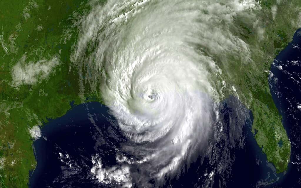
The 2026 Atlantic hurricane season has produced something the basin has not seen in more than a hundred years. Six named storms have formed, and not one of them has strengthened into a hurricane. On September 11, the season passed the satellite-era record for the latest first hurricane, and the days since have extended a streak that has no modern parallel.
The named storms so far are Arthur, Bertha, Cristobal, Dolly, Edouard and Fay, all of which peaked as tropical storms. Fay, the sixth, was located several hundred miles southwest of the Azores earlier this week, thousands of miles from the United States.
For Florida, the state that absorbs more hurricane landfalls than any other, the season has been a reprieve. It has also arrived with warnings from emergency managers against reading a quiet season as a reason for complacency.
How far behind the pace this is
An average Atlantic season produces roughly nine named storms by mid-September. The 2026 season has managed six, and the more striking number is the zero in the hurricane column.
The climatological peak of the Atlantic season falls around September 10, which means the basin has passed its most favorable period for development without producing a single storm reaching 74 mile per hour sustained winds.
Records of Atlantic tropical activity are reliable back into the nineteenth century for landfalling systems and became comprehensive with the satellite era beginning in the 1960s. By either measure, this is extraordinary.
NOAA had forecast a below-normal season and maintained that prediction through its midseason update. The outcome so far has exceeded even that expectation in the direction of quiet.
What El Nino is doing
The cause is well understood. A very strong El Nino event developed in the equatorial Pacific in June, and El Nino conditions systematically suppress Atlantic hurricane activity.
The mechanism is wind shear. El Nino alters atmospheric circulation patterns in ways that increase the difference in wind speed and direction between the lower and upper atmosphere over the tropical Atlantic. Tropical cyclones require a vertically stacked column of rotating air to organize and intensify, and shear tears that structure apart.
Storms that form under high shear conditions tend to look ragged on satellite imagery, with the thunderstorm activity displaced away from the low-level center. That describes essentially every system the Atlantic has produced this year.
The strength of this particular El Nino has drawn comparison to the most intense events on record, which is why the suppression has been so complete rather than merely significant.
Why forecasters keep warning against complacency
The statistic emergency managers return to is that it takes one storm. Hurricane Andrew struck South Florida in 1992 during a season that produced only seven named storms, and it remains among the most destructive hurricanes in American history.
Seasonal totals measure basin-wide activity, not landfall risk for any particular coastline. A quiet season with one landfall is far worse for the affected community than an active season in which every storm recurves into open ocean.
The season also has not ended. The Atlantic hurricane season runs through November 30, and while the climatological odds decline substantially after mid-October, late-season storms have struck Florida before.
Florida's emergency management officials have used the quiet period to press preparedness messaging, arguing that a calm year is the right time to build supply kits and review evacuation plans rather than a reason to skip both.
What a quiet season saves Florida
The absence of landfalls has real economic value. A major hurricane striking a populated Florida coastline generates billions of dollars in insured losses, displaces residents, interrupts tourism and requires federal disaster spending.
It also affects the property insurance market directly. Florida's insurers have spent years rebuilding capital after a run of costly storm seasons, and a year without significant claims strengthens balance sheets and supports the rate moderation that has begun to appear.
Citizens Property Insurance Corporation, the state-backed insurer of last resort, received approval for a statewide average rate decrease of 2.6 percent for 2026 personal lines policies, its first recommended reduction since 2015. Quiet seasons make such reductions easier to sustain.
Reinsurance pricing, which drives a large share of Florida homeowner premiums, also responds to loss experience. A year without Atlantic hurricane landfalls is favorable for the reinsurance renewals that occur in the following spring.
The rest of the picture
While the Atlantic has been dormant, the Pacific has been active. That pattern is typical during El Nino, which shifts favorable conditions westward, and it is a reminder that the global total of tropical activity has not declined.
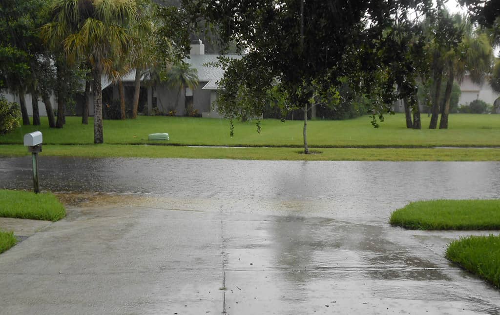
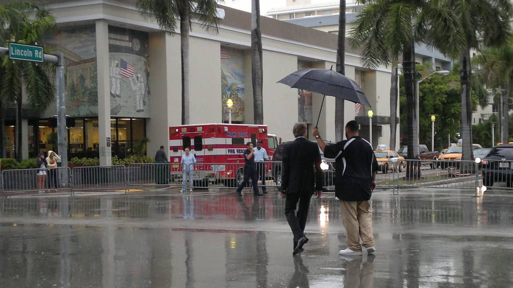
Florida has also learned this month that hurricanes are not the only source of storm damage. South Florida has recorded 10 to 20 inches of rain in September from ordinary afternoon thunderstorms, producing repeated flooding without any tropical system involved.
Flood damage from non-tropical rainfall is excluded from standard homeowners insurance policies exactly as tropical flood damage is, which means the coverage question applies regardless of what the hurricane count looks like.
What happens when El Nino fades
El Nino events do not persist indefinitely. They typically last somewhere between nine and eighteen months before conditions return to neutral or swing toward La Nina, the opposing phase.
La Nina conditions have the opposite effect on Atlantic hurricane activity, reducing wind shear and generally supporting more active seasons. The historical record shows a strong relationship between La Nina years and elevated Atlantic storm counts.
Forecasters will begin issuing outlooks for the 2027 season in the spring, and the state of the Pacific at that point will be the single most important input.
The pattern of quiet years followed by active ones is well documented, which is the substantive reason emergency managers resist letting a calm season reset public preparedness.
The tax exemption change
Florida restructured its hurricane preparedness incentives this year, replacing the periodic sales tax holidays that had been offered in past seasons with year-round exemptions on qualifying preparedness supplies.
The change means residents can purchase batteries, flashlights, tarps, generators and other listed items without sales tax at any point rather than during designated windows, removing the incentive to concentrate purchases into a few days.
For a quiet season, that structure matters more than it would otherwise. Residents who skipped preparation during a calm summer can still buy supplies tax-free when conditions change.
How the storms that did form behaved
The six named systems of 2026 followed a common pattern. Each organized enough to earn a name, meaning sustained winds of at least 39 miles per hour, and each then encountered conditions that prevented further strengthening.
Several formed in the eastern Atlantic from tropical waves moving off the west African coast, the classic Cape Verde development path that produces many of the basin's most powerful storms in active years. This season, those waves emerged into an environment with shear and dry air that stopped them.
Fay, the sixth named storm, developed in the far northeastern Atlantic near the Azores, well away from any track that would threaten the United States. Storms forming in that part of the basin rarely affect North America.
None of the six approached Florida. The state has not been under a tropical storm watch or warning at any point during the season.
What emergency managers did with the quiet
The Florida Division of Emergency Management and county agencies have continued their normal seasonal operations regardless of storm activity, including exercises, equipment readiness checks and coordination drills with utilities and hospitals.
Quiet seasons are generally when agencies catch up on planning work that active seasons crowd out. Evacuation route studies, shelter capacity reviews and communications system upgrades all proceed more easily when staff are not responding to events.
The public messaging challenge is different. Preparedness campaigns compete for attention against a news environment in which nothing is happening, and participation in preparedness activities typically declines during calm years.
The concern among emergency managers is the multi-year effect. Residents who experience two or three quiet seasons in a row may let supplies lapse and plans go stale, which is precisely the condition that produces poor outcomes when a storm finally arrives.
What the record actually measures
Comparisons to past seasons require care about what is being counted. The satellite era, which began in the 1960s, is the period over which meteorologists have confidence that every tropical cyclone in the basin was detected.
Before satellites, storms that stayed at sea and did not encounter ships could go entirely unrecorded. That means historical storm counts from the early twentieth century understate actual activity, and comparisons across eras are imperfect.
The specific record set on September 11 was the latest date for a season's first Atlantic hurricane within the satellite era, a measure that is reliable because detection has been comprehensive throughout.
The broader claim that more than a century has passed since the Atlantic went this long without a hurricane relies on the historical database, which is less certain for open-ocean systems but reasonably complete for storms reaching hurricane strength near populated coastlines.
Florida's exposure in context
Florida has absorbed more hurricane landfalls than any other state, a function of its peninsula geography extending into a basin where storms track both from the east and through the Gulf.
That exposure shapes everything from building codes, which are among the most stringent in the country, to insurance markets, to the design of the state's emergency management structure.
A season without landfall gives all of those systems a year to recover and prepare. It does not change the underlying exposure, which is determined by geography rather than by any single season's outcome.
What's next
The National Hurricane Center continues issuing tropical weather outlooks every six hours through the end of the season, covering the Atlantic basin, the Caribbean and the Gulf.
The remaining weeks of the season carry declining but nonzero risk. Late-season development tends to occur in the western Caribbean and southwestern Gulf, closer to Florida than the eastern Atlantic origins of many peak-season storms.
Whether the Atlantic ends 2026 without a single hurricane will be settled by November 30. As of this week, it has gone longer without one than any season in more than a century.
Spotted an issue with this article?
Have something to say about this story?
Write a letter to the editor