A Soaking Weekend Pattern Puts South Florida Back on Flood Watch Without a Tropical System in Sight
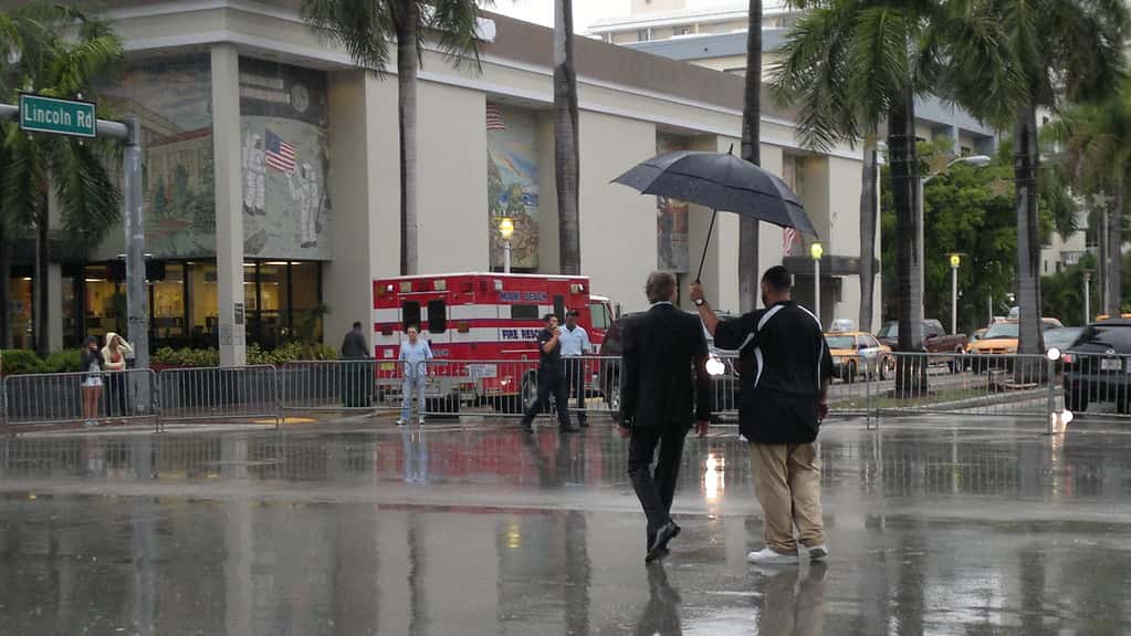
South Florida is heading into the weekend in an unsettled weather pattern, with forecasters expecting rounds of thunderstorms and localized flooding as the primary concern. The setup is notable for what it does not involve: there is no tropical system anywhere near the region, and the Atlantic basin has not produced a single hurricane all season. The rain is coming from ordinary September convection.
Local forecasters described a stormy weekend with localized flood concerns, following several days in which strong thunderstorms developed across the region during the afternoon. The pattern has been persistent rather than explosive, with some days wetter than others and the cumulative rainfall mattering more than any single storm.
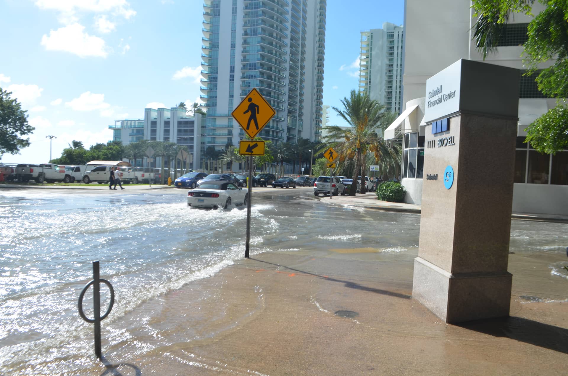
For residents of Miami-Dade, Broward, Palm Beach, and Monroe counties, the practical concern is the one that recurs every wet season: streets that flood quickly, intersections that become impassable, and drainage systems that cannot keep pace with rainfall rates that would overwhelm almost any urban system.
What is driving the pattern
September is the wettest month of the year across much of South Florida, and the reason is thermodynamic. The atmosphere is at its most moisture-laden, ocean and bay temperatures are near their annual peak, and daytime heating over the peninsula drives deep convection almost daily.
The region's characteristic sea breeze mechanism supplies the trigger. Air heats faster over land than over water, and the resulting circulation pushes moist marine air inland from both the Atlantic and the Gulf. Where those two boundaries collide, usually somewhere over the interior, the air is forced upward and thunderstorms build. The position of that collision shifts with the prevailing wind, which is why some days soak the coast and others soak the interior.
An unsettled pattern means those storms are not confined to their usual afternoon window or their usual locations. Weak steering flow lets storms move slowly or train repeatedly over the same area, and slow-moving storms are what produce flooding. A thunderstorm capable of three inches an hour is a nuisance if it moves through in fifteen minutes and a serious problem if it sits over one neighborhood for two hours.
The absence of a tropical system does not make this pattern less capable of producing flooding. Some of South Florida's most significant flood events have come from stalled non-tropical rainfall rather than from named storms, because a tropical system usually keeps moving while a stationary convective pattern does not.
Why South Florida floods so readily
The region's flood vulnerability is a function of geology, engineering, and development, and none of the three can be quickly changed.
Elevation is the starting point. Much of coastal South Florida sits only a few feet above sea level, which limits how much gravity is available to move water anywhere. Drainage systems that rely on gravity flow lose capacity as the difference between land elevation and water level shrinks.
Geology compounds it. South Florida sits on porous limestone with a water table that is often only a short distance below the surface. In the wet season that water table rises, which reduces the soil's capacity to absorb more. Once the ground is saturated, additional rainfall has nowhere to go but across the surface.
The regional water management system was engineered for a different Florida. The canals, pumps, and control structures that drain the region were designed decades ago for a smaller population and a landscape with more open ground. Development has replaced absorptive surface with pavement and rooftops, which increases the volume and speed of runoff reaching the system.
Tides add the final constraint. When a high tide coincides with heavy rainfall, outfalls that would normally discharge into canals and bays cannot, because the receiving water is higher than the drainage. That is the mechanism behind flooding on sunny days during king tides, and it is what turns an ordinary rain event into a significant one when the timing aligns.
Where the flooding shows up
Flood locations in South Florida are highly repeatable, and residents in affected neighborhoods generally know exactly which intersections to avoid.
- Low-lying roadway underpasses and depressed intersections, which fill first and drain last
- Older coastal neighborhoods built before modern stormwater standards, including parts of Miami Beach, Hollywood, and Fort Lauderdale
- Areas along canals and drainage laterals, where a full canal cannot accept additional inflow
- Streets in dense urban districts with high impervious surface coverage and limited inlet capacity
Driving through standing water is the behavior that converts a flooded street into an emergency. Water depth is very difficult to judge from a vehicle, a foot of moving water can move most cars, and a stalled vehicle in floodwater is both a hazard to its occupants and an obstruction to emergency response. The standard guidance to turn around rather than drive through is not overcaution; the majority of flood deaths in the United States occur in vehicles.
Water quality is a secondary concern that gets less attention than it deserves. Urban floodwater carries road contaminants, and in areas where stormwater and sanitary systems can interact, it can carry worse. Contact with floodwater, particularly for anyone with an open wound, carries real infection risk.
What residents should do
The practical steps for a weekend of this kind are modest but effective.
Check the forecast before traveling, and specifically check for flood advisories and warnings rather than only the rain chance. A flood advisory indicates nuisance flooding is occurring or imminent. A flash flood warning means dangerous flooding is happening or about to, and it requires immediate action rather than monitoring.
Move vehicles off low ground. A car parked in a spot that flooded last September will likely flood again, and flood damage to a vehicle is frequently a total loss. Comprehensive auto coverage generally covers flood damage, but relocating the car is simpler than filing a claim.
Clear the drains near your property. Storm drains blocked by leaves, trash, and yard debris are a leading cause of localized flooding, and clearing the grate in front of a house takes a few minutes and can keep a street passable.
The insurance gap
Most South Florida households discover the same thing after a flood, which is that homeowners insurance does not cover it. Flood coverage is a separate policy, available through the federal National Flood Insurance Program or through private carriers.
The part that surprises people most is the geography of risk. A substantial share of flood claims come from properties outside mapped high-risk flood zones, where coverage is not required by lenders and is therefore often not purchased. A street that floods in a heavy September thunderstorm may sit well outside any designated high-risk area.
The federal program's authorization was extended through December 11, 2026, as part of a continuing appropriations measure signed in early September, the thirty-sixth short-term extension since fiscal 2017. Homeowners considering coverage should also note that new National Flood Insurance Program policies generally carry a waiting period before taking effect, which means buying coverage during a rain event does not help with that event.
Renters and businesses
Renters are frequently the least protected group. A landlord's policy covers the structure, not a tenant's belongings, and renters insurance typically excludes flood unless flood coverage is added. Ground-floor apartments in older buildings are exactly where this gap bites hardest.
Small businesses face a parallel problem with inventory and equipment. Commercial property policies commonly exclude flood, and business interruption coverage may not respond to a flood-caused closure. A ground-floor retail space or restaurant in a flood-prone block carries exposure that many operators have not priced.
Simple physical measures reduce loss meaningfully. Storing inventory and records above floor level, keeping equipment off the ground, and having sandbags or barriers available before the season starts are low-cost steps that repeatedly prove their value in the neighborhoods that flood most often.
The longer trend
South Florida's flood exposure is increasing for reasons independent of any single weekend's weather. Sea level rise reduces the head available for gravity drainage and raises the water table, which cuts both the region's storage capacity and its ability to discharge.
Local governments have responded with substantial capital programs. Miami Beach has raised roads and installed pump stations, and jurisdictions across the region have invested in stormwater upgrades, backflow prevention, and elevated infrastructure. Those projects work where they have been completed and are expensive and slow to extend across an entire metropolitan area.
Rainfall intensity is the other variable. A warmer atmosphere holds more moisture, and the observed trend in the region has been toward heavier rainfall concentrated in shorter periods. Drainage systems are designed to a specified rainfall intensity, and events exceeding that design standard flood regardless of how well the system is maintained.
How to read a flood alert
The National Weather Service issues several distinct products for flooding, and the differences determine what a resident should actually do. Confusing them is common and occasionally dangerous.
A flood watch means conditions are favorable for flooding and residents should stay informed and be prepared to act. A flood advisory means nuisance flooding is occurring or imminent, the kind that makes roads difficult but is not generally life-threatening. A flood warning means flooding is occurring or about to occur in the specified area.
A flash flood warning is the most urgent of the set. It means rapid flooding is happening or imminent, and it calls for immediate action rather than monitoring. Flash flood emergencies, a rarer designation, indicate a severe threat to life.
The same watch and warning distinction applies to tropical products, where it causes even more confusion. A hurricane watch means hurricane conditions are possible. A hurricane warning means they are expected within 36 hours. Residents who treat the two as interchangeable either act too early or, more dangerously, too late.
What to do if your car floods
Vehicle damage is the single most common insured loss in a South Florida street flooding event, and the response has a sequence that affects both safety and the claim.
The first rule is not to start the engine. Water drawn into an engine through the air intake causes catastrophic damage when the engine turns over, and an attempt to start a flooded vehicle often converts a repairable car into a total loss. The same applies to switching on electrical systems in a car that sat in salt water.
Documentation comes next. Photographs showing the water line inside and outside the vehicle, taken before the car is moved, establish the depth of exposure, which is the central fact in a flood claim. Comprehensive auto coverage generally covers flood damage, while liability-only coverage does not.
Salt water exposure is materially worse than fresh water. Coastal flooding driven by tide and surge carries salt that corrodes electrical connectors and structural components over months, and damage from a salt water event frequently appears long after the vehicle has apparently dried out.
What's next
The unsettled pattern is expected to continue through the weekend before the region returns to a more typical late-September regime. Residents should expect additional rounds of afternoon and evening storms and should treat any flood advisory or warning as specific to their location rather than general.
The National Weather Service offices serving Miami, Tampa Bay, and Key West are the authoritative sources for advisories, warnings, and rainfall forecasts, and county emergency management agencies issue local guidance on road closures and drainage conditions.
The wet season typically winds down in October, and this year's transition may be shaped by El Nino, which forecasters expect to strengthen into a very strong event through the fall and winter. That pattern generally brings South Florida a wetter than normal winter driven by frontal systems rather than convection, which means the flood conversation may not pause after the wet season ends.
Spotted an issue with this article?
Have something to say about this story?
Write a letter to the editor