Storm-Force Low Off Southeast Coast Brings Gales, 12-Foot Surf and Rip Currents to Florida's Atlantic Beaches
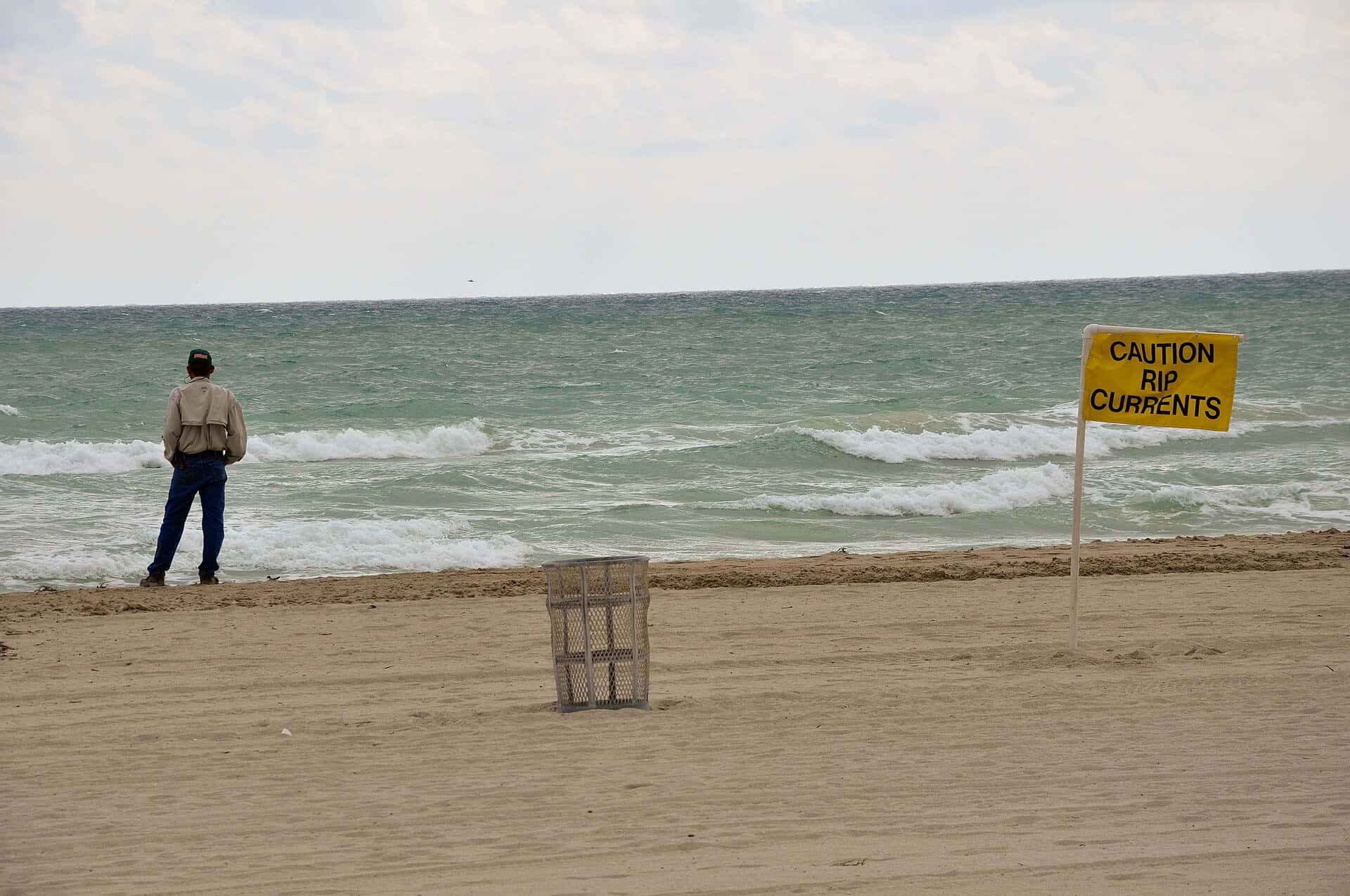
The National Hurricane Center said Sunday morning that a storm-force, non-tropical low pressure area is expected to form later today or tonight off the southeast coast of the United States, and Florida's entire Atlantic coastline is already feeling the squeeze. From Fernandina Beach to Miami-Dade County, the National Weather Service has posted wind advisories, high surf advisories, rip current statements and gale warnings as strong northeast winds pile water and waves onto the beaches.
In its 8 a.m. EDT Sunday, Oct. 18 tropical weather outlook, the hurricane center said the low is likely to move slowly and erratically through the middle of the week, and some subtropical development is possible. Forecasters put the odds of formation near 0% over the next 48 hours and at 30% over the next seven days. WPTV reported that the seven-day figure was up from 20% on Saturday afternoon.
The more important message for Floridians is in the outlook's final line: regardless of whether the system ever gets a name, it is expected to produce high winds, coastal flooding and dangerous surf along portions of the U.S. East Coast.
A new event behind Saturday's front
The Florida Press previewed the cold front on Oct. 15. That front has now pushed through the peninsula and stalled over the Straits of Florida, according to the NWS office in Melbourne. What is driving the weekend's hazards is the combination of that front, a strong area of high pressure over the eastern U.S. and the developing low offshore. The tight squeeze between high and low pressure is producing a long fetch of northeast wind over the western Atlantic.
The NWS Jacksonville office described the setup in its Sunday morning forecast discussion: high pressure to the north and low pressure east of the Carolinas are maintaining a strong pressure gradient, with gusty north-northeast onshore winds of 15 to 25 mph and gusts of 30 to 40 mph or more, strongest along the coast and the St. Johns River corridor.
Advisories in effect along the Atlantic coast
The following land-based alerts were active Sunday morning from the three NWS offices covering Florida's east coast.
| Area | Alert | Key details | Valid until |
|---|---|---|---|
| Nassau, Duval, St. Johns, Flagler coasts | Wind Advisory | NE winds 20 to 30 mph, gusts 40 to 45 mph | 2 a.m. Monday |
| Nassau, Duval, St. Johns, Flagler coasts | High Surf Advisory, high rip current risk | Breakers 7 to 11 feet | 2 a.m. Tuesday |
| Coastal Volusia, Brevard, Indian River | Wind Advisory | NE winds 20 to 25 mph, gusts to 40 mph | 8 p.m. Sunday |
| Volusia through Martin coasts | High Surf Advisory, high rip current risk | Breakers 7 to 11 feet | 4 a.m. Tuesday |
| Coastal Palm Beach | High Surf Advisory | Breakers 7 to 12 feet | 8 a.m. Wednesday |
| Coastal Broward | High Surf Advisory | Breakers 6 to 8 feet, starts 2 p.m. Monday | 8 p.m. Tuesday |
| Palm Beach, Broward, Miami-Dade | Rip current statement | High risk from late Sunday night | 8 p.m. Thursday |
Inland, the Melbourne office also has a flood warning for the St. Johns River near Astor in Volusia and Lake counties. Forecasters said the river was in minor flood stage Sunday, but the northeast winds will slow its northward flow and push levels higher tonight. The river is forecast to reach moderate flood stage early Monday and stay there through the end of the week.
Gale warnings offshore
Conditions on the water are worse. Boaters are being told to stay in port across nearly the whole east coast.
| Waters | Alert | Winds and seas | Valid until |
|---|---|---|---|
| Fernandina Beach to Flagler Beach, out 60 nm | Gale Warning | NE 25 to 35 knots, seas 9 to 14 feet | 1 a.m. Tuesday |
| Flagler Beach to Volusia-Brevard line | Gale Warning | NE 20 to 30 knots, gusts to 40, seas 9 to 14 feet | 1 a.m. Tuesday |
| Volusia-Brevard line to Sebastian Inlet | Gale Warning, then Small Craft Advisory | Gusts to 35 knots, seas 9 to 14 feet | Gale to 2 a.m. Monday |
| Sebastian Inlet to Jupiter Inlet | Small Craft Advisory | NE 20 to 25 knots, seas 9 to 14 feet | 1 a.m. Tuesday |
| Jupiter Inlet to Deerfield Beach | Small Craft Advisory | NE 20 to 30 knots, seas 6 to 11 feet | 8 p.m. Wednesday |
| Deerfield Beach to Ocean Reef, Biscayne Bay | Small Craft Advisory | NE 20 to 30 knots, seas 8 to 13 feet | 8 p.m. Wednesday |
The Melbourne office said seas should peak at 10 to 14 feet into Monday before slowly easing to 7 to 9 feet by Wednesday and Thursday, still hazardous for small boats. The Miami office's small craft advisory also covers Lake Okeechobee and parts of the Gulf waters off Southwest Florida.
Northeast Florida: erosion and tidal flooding
In Jacksonville and the First Coast beaches, the weather service's chief concern beyond the wind is the shoreline. Its Sunday discussion flagged significant beach erosion around times of high tide, with breakers building to about 7 to 11 feet and high surf expected through at least Monday night.
Conditions were marginal Sunday for minor tidal flooding along the northeast Florida Atlantic coast, the Intracoastal Waterway and the St. Johns River basin starting Sunday afternoon, the office said, though not widespread enough for a coastal flood advisory at that point. Elevated water levels are likely to continue through at least the middle of the week. The forecast also calls for tidal flooding, gusty winds and an elevated rip current risk to return or persist late in the week and into next weekend as the low lingers off the Mid-Atlantic coast.
The air behind the front feels like fall. Highs Sunday are forecast in the lower 70s across northeast Florida, with lows tonight in the mid 50s to lower 60s, and some inland spots in the 50s on Monday and Tuesday nights. The NWS called the readings unseasonably cool.
Space Coast and Treasure Coast
The Melbourne office extended its wind advisory south on Sunday to cover the coasts of Volusia, Brevard and Indian River counties, with gusts around 35 to 40 mph expected there through the evening. Isolated onshore-moving showers could produce gusts of 40 to 45 mph through Monday, forecasters said.
The office warned of life-threatening rip currents and moderate beach erosion through multiple high tide cycles, and urged residents and visitors to stay out of the water. The high rip current risk is likely to last through much of the week.
Highs in Central Florida are running below normal, in the mid to upper 70s near and north of Orlando and the low 80s farther south. Lows tonight are expected in the 60s, except along the coast, where the onshore breeze keeps readings in the 70s. Monday night could dip into the upper 50s northwest of Interstate 4.
South Florida: heavy rain early, then wind and waves
Before the front cleared South Florida, coastal convergence along the Broward and Palm Beach coasts produced bursts of heavy rain overnight, with 3 to 5 inches falling in one to two hours in some spots, according to the NWS Miami office. Forecasters expected that flash flood threat to fade Sunday as winds settled out of the northeast, though showers remained likely in Southeast Florida during the day.
WPTV forecast Palm Beach County gusts near 30 mph Sunday and 35 to 40 mph near Treasure Coast beaches, with offshore seas building to 10 to 14 feet and the strong onshore flow causing unusually rough conditions near inlets. Drier air arrives Monday, with highs in the low to mid 80s, but the station said hazardous surf and boating conditions are expected to continue into midweek.
Will it become a named storm?
A subtropical storm is a hybrid system with traits of both tropical and non-tropical cyclones. Whether the coastal low makes that transition is uncertain, and the hurricane center's 30% seven-day chance reflects that. Either way, forecasters in Jacksonville and Melbourne expect the low to stay well offshore, east of the Carolinas and later off the Mid-Atlantic and Northeast coasts, rather than move toward Florida. The state's impacts come from the wind field and long-period swell, not from a landfall.
Elsewhere, Hurricane Trudy is in the eastern Pacific off southwestern Mexico and poses no threat to Florida. The NHC's Pacific outlook Sunday also gave an 80% chance that a separate system will develop well south of Mexico this week.
What's next
The Atlantic hurricane season runs through Nov. 30. For now, Florida's coastal hazards are expected to last through at least Tuesday, with rip current and small craft concerns lingering through midweek. Beachgoers should heed lifeguard flags and local advisories, boaters should stay in port while gale warnings are up, and residents along the St. Johns River should watch for rising water. The hurricane center will update its outlook at 2 p.m. and every six hours after that.
Spotted an issue with this article?
Have something to say about this story?
Write us a letterComments
No comments yet. Be the first to weigh in.
Related Coverage
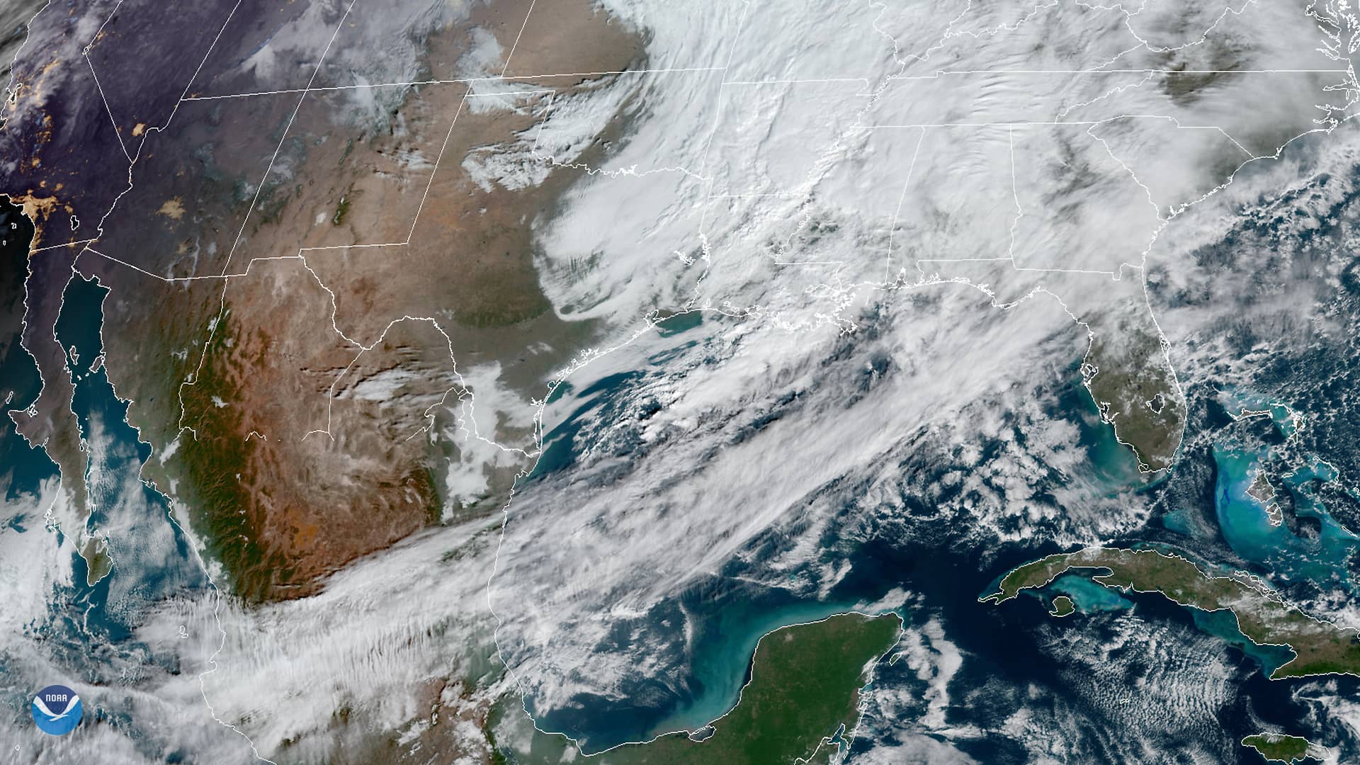
Strong fall cold front brings Florida Saturday rain, cooler air and dangerous surf this weekend
2d ago

Hurricane Center Gives Atlantic Low Near Cabo Verde a 20% Chance as Florida Gets a Break After Isaias
6d ago

Tallahassee and the Big Bend Escape Isaias' Worst, With Downed Trees, Brief Outages and Rising Rivers to Watch
Oct 9

Isaias Death Toll Rises to Six as Florida Hits 95% Power Restored and Escambia Tallies $64 Million in Public Costs
Oct 9