El Niño and Saharan Dust Keep a Lid on the 2026 Atlantic Hurricane Season, So Far
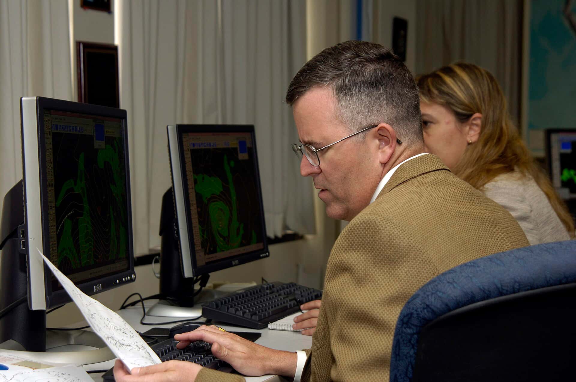
Nearly halfway through the 2026 Atlantic hurricane season, the tropics have stayed remarkably quiet, and forecasters say two forces are doing much of the suppressing: a strengthening El Niño and a thick, persistent plume of Saharan dust. Federal forecasters entered the season predicting below-normal activity, and the early weeks have played out in line with that outlook, offering Florida a reprieve while officials caution against reading too much into a slow start.
The National Oceanic and Atmospheric Administration forecast a below-normal season, citing competing factors that tilt the odds toward fewer storms. As of the most recent outlooks, no tropical development was expected across the Atlantic, Caribbean and Gulf over the following week, extending a calm stretch that has defined the season's first half.
For Florida, the most hurricane-exposed state in the country, a quiet season is welcome news. But emergency managers and meteorologists are united in a familiar warning: a slow start is not a safe season, and the historically most active months still lie ahead.
Why the season has been quiet
The dominant factor is El Niño, the periodic warming of the tropical Pacific that reverberates across global weather patterns. El Niño tends to increase wind shear over the Atlantic, and strong shear is hostile to hurricanes, tearing apart storms as they try to organize and preventing many from forming in the first place. Forecasters expect El Niño to continue strengthening and to keep hindering tropical development through the season.
The Saharan dust that has blanketed Florida and the Gulf Coast is playing a supporting role. The dry, dusty air of the Saharan Air Layer wicks moisture out of the atmosphere and stabilizes it, further discouraging the thunderstorm clusters that can grow into tropical systems. The same dust responsible for hazy Florida skies and intensified heat is also helping keep the tropics calm.
Together, these forces have combined to hold down activity. Forecasters put the odds of a below-normal season at roughly 55 percent, with a near-normal season around 35 percent and an above-normal season only about 10 percent, a distribution that reflects genuine suppression rather than mere luck.
What the forecast numbers say
NOAA's seasonal outlook called for a below-average tally of storms, predicting a range of roughly 8 to 14 named storms, 3 to 6 hurricanes and 1 to 3 major hurricanes for the full season. Those numbers sit below the long-term averages that define a normal year, quantifying the expectation of a calmer-than-usual Atlantic.
Seasonal forecasts describe the overall level of activity, not where storms will go, and forecasters stress that even a quiet season can produce a devastating landfall. A single hurricane striking a populated stretch of the Florida coast can cause catastrophic damage regardless of how many storms form across the basin.
The through-mid-season pattern has tracked the forecast well, with the Atlantic staying largely dormant and no systems threatening the U.S. coast during the early weeks. That alignment gives forecasters some confidence in the below-normal outlook, even as they emphasize the uncertainty inherent in predicting an entire season.
The danger of complacency
Emergency managers worry most about the psychology of a quiet start. When weeks pass without a storm, residents can grow complacent, letting supplies lapse and plans go stale. History offers cautionary tales of quiet seasons that nonetheless delivered a single, catastrophic hurricane, and of storms that formed late and struck hard.
The calendar reinforces the warning. The Atlantic season runs through the end of November, and its climatological peak falls in the heart of late summer and early fall, weeks that are still ahead. The absence of storms in the first half says little about what the most active stretch of the season will bring.
Officials therefore keep repeating the fundamentals: have a plan, know your evacuation zone, keep supplies on hand and stay informed. A below-normal forecast lowers the odds of a busy season, but it does not lower the stakes of the one storm that matters most to any given community.
What quiet skies mean now
The immediate benefit of the calm is a chance for Florida to focus on other summer hazards without a storm bearing down. This week, that has meant grappling with dangerous heat and Saharan dust rather than tracking a cone, a reminder that a quiet tropics does not mean quiet weather.
The lull also gives emergency managers and residents time to prepare while the pressure is low. Checking supplies, reviewing insurance coverage and confirming evacuation plans are all easier to do before a storm threatens than during a scramble, and a slow start is an opportunity to get ready rather than a reason to relax.
For Florida's property insurance market, still stabilizing after years of turmoil, a quiet season also carries financial significance. A year without a major landfall gives insurers breathing room and supports the fragile recovery in coverage availability and pricing that the state has begun to see. A single large storm could reverse that progress.
How El Niño suppresses storms
El Niño is the key to understanding why the season has stayed quiet, and its influence on Atlantic hurricanes is well documented. The pattern, defined by warmer-than-average surface waters in the tropical Pacific, alters atmospheric circulation across the globe. For the Atlantic, the most important effect is an increase in vertical wind shear, the change in wind speed and direction with height that disrupts the vertical structure a hurricane needs to organize and intensify.
Strong shear is hostile to tropical systems. It can prevent thunderstorms from consolidating into a coherent storm, and it can tear apart systems that do manage to form, capping their strength before they become dangerous. During El Niño years, that shear tends to blanket the tropical Atlantic during the season, tilting the odds toward fewer and weaker storms. Forecasters expect the pattern to keep strengthening, sustaining the hostile environment through the coming months.
El Niño's influence is probabilistic rather than absolute. It reduces the likelihood of an active season but does not guarantee a quiet one, and history includes El Niño years that still produced damaging hurricanes. That is why forecasters pair their below-normal outlooks with persistent warnings: the pattern lowers the overall count, but it takes only one storm slipping through the shear to reach the Florida coast to make a season memorable for all the wrong reasons.
Warm water complicates the picture
El Niño and Saharan dust are pushing the season toward calm, but a countervailing factor lurks beneath the surface: ocean temperatures across parts of the Atlantic have run warmer than normal. Warm water is the fuel that powers hurricanes, providing the heat and moisture that storms convert into wind and rain. When sea-surface temperatures are elevated, any storm that does overcome the shear has more energy available to intensify, potentially rapidly.
That tension, suppressing factors overhead and abundant fuel below, is what makes the season's forecast a story of competing forces rather than a simple prediction of calm. Forecasters describe the outlook as the product of that tug-of-war, with El Niño and dust currently winning but warm water keeping the door open for a powerful storm should conditions align. It is a reminder that a below-normal season is defined by the number of storms, not the ceiling on how strong any single one can become.
The possibility of rapid intensification is a particular concern for Florida. Storms that strengthen quickly near the coast leave less time for residents to prepare and evacuate, and warm coastal waters can enable exactly that kind of dangerous, fast escalation. Even in a quiet season, the combination of warm water and a storm that finds a favorable window can produce a serious threat with little warning, which is why officials refuse to let a slow start breed complacency.
Lessons from quiet seasons past
Florida's history offers a sobering counterpoint to any comfort a quiet start might provide. The state has been struck by devastating hurricanes during seasons that produced relatively few storms overall, a reminder that the seasonal count is a poor predictor of individual risk. A below-normal year that delivers one major landfall on a populated coast can be far more consequential for the people affected than an active year in which storms curve harmlessly out to sea.
That history is why emergency managers treat every season with the same seriousness regardless of the forecast. The preparations that matter, knowing an evacuation zone, keeping supplies, reviewing insurance and having a plan, are the same whether the outlook calls for many storms or few. A quiet basin lowers the odds of being affected, but it does nothing to reduce the stakes for a community that finds itself in a storm's path. The consistent message from officials is that the only forecast a household can safely plan around is the assumption that a storm could come, and that the time to prepare is during the calm.
What's next in the tropics
Forecasters will watch whether El Niño continues to strengthen and whether the Saharan dust persists, since both are central to keeping activity suppressed. Should those factors weaken as the season progresses, the door could open for more development during the peak months, even within a below-normal seasonal framework.
The peak of the season is the true test. The weeks ahead historically produce the majority of Atlantic activity, and how the basin behaves then will determine whether 2026 fulfills its quiet forecast or delivers a late surprise. Forecasters will update their outlooks as conditions evolve.
For now, Florida enjoys a rare stretch of calm in the tropics, even as it swelters under heat and haze. The message from those who track the storms is consistent: appreciate the quiet, but do not mistake it for safety. In hurricane country, preparation is the only reliable defense, in a slow season and a busy one alike.
Spotted an issue with this article?
Have something to say about this story?
Write us a letterComments
No comments yet. Be the first to weigh in.
Related Coverage

Florida Voters Face Few New Rules on Nov. 3 as Other GOP States Roll Out Citizenship and ID Laws
11h ago

Florida Leads the Nation in ICE Detainer Arrests as Local Police Take a Growing Role, New Data Show
12h ago
Federal Government Again Asks Miami Judge to Toss Lawsuit by Nearly 1,000 Cubans With I-220A Papers
12h ago
Alvaro Pulido, Alex Saab's Longtime Partner, Heads to Miami Federal Court After Arrest in Venezuela Bribery Case
13h ago