Afternoon Storms and Mid-90s Heat Settle Over Florida Into Next Week
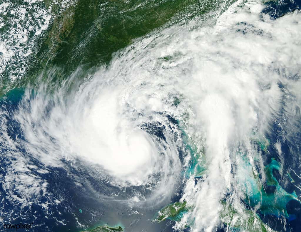
Florida is settling into a stretch of classic late-summer weather, with National Weather Service forecasts calling for high temperatures in the low to mid 90s each afternoon and scattered to numerous showers and thunderstorms developing daily, with the greatest coverage across interior portions of the peninsula and Southwest Florida. Forecasters have warned that the stronger storms will be capable of heavy rain, frequent lightning and gusty winds.
The pattern is typical for late August and early September, which is the wettest stretch of the year across most of the state. Central Florida saw heat index values approaching 100 degrees over the weekend along with the potential for thunderstorm wind gusts to 45 mph, and the National Weather Service issued a severe thunderstorm warning covering southeastern Charlotte County and northeastern Lee County on Saturday afternoon.
For Floridians, the practical significance is in the details rather than the headline. A forecast of afternoon storms every day for a week does not mean rain everywhere every day. It means that on any given afternoon, a substantial fraction of the state will see a storm, and predicting which specific neighborhoods at which specific hours is beyond the reach of the forecast more than a few hours out.
Why Florida storms behave this way
The daily thunderstorm cycle over the Florida peninsula is driven by sea breezes. As land heats faster than water through the morning, air rises over the interior and cooler air flows inland from both coasts. Those two sea breeze fronts, one from the Atlantic and one from the Gulf, advance toward each other and collide somewhere over the interior, forcing air upward and triggering convection.
Where they collide depends on the prevailing wind. An easterly flow pushes the collision zone toward the west coast, which is why Southwest Florida sees heavier afternoon coverage on days with an easterly steering pattern. A westerly flow pushes it toward the Atlantic side. On days with weak flow, storms fire near the center of the peninsula and drift slowly, which produces the highest local rainfall totals.
This mechanism is why Florida records the highest density of cloud-to-ground lightning strikes in the United States, and why the corridor between Tampa and Orlando is often described as the lightning capital of the country. The peninsula's geometry, with warm water on both sides and a narrow land mass between, makes the collision reliable in a way few other places match.
The storms are typically short-lived. A single cell may last 30 to 45 minutes, produce an inch or more of rain over a small area, and dissipate as the atmosphere stabilizes toward evening. That brevity is why a forecast of daily storms does not translate into daily disruption for any particular location.
The heat side of the forecast
High temperatures in the low to mid 90s are near normal for late August in Florida, but the heat index tells the more relevant story. Heat index combines temperature with relative humidity to estimate how hot the air feels to the human body, and Florida's summer humidity routinely pushes the heat index 5 to 10 degrees above the actual temperature.
Heat index values approaching 100 degrees, as forecast for Central Florida, fall into the range where the National Weather Service advises caution, with heat exhaustion possible during prolonged exposure or strenuous activity. Values above 105 trigger heat advisories in most Florida forecast offices, and the thresholds vary somewhat by region because acclimatization differs.
The people most at risk are those who work outdoors. Florida's construction, agriculture, landscaping and roofing workforces spend full shifts in these conditions, and heat-related illness among outdoor workers is a recurring occupational health issue in the state. Employers in those industries generally build water, rest and shade protocols into summer scheduling.
Children and pets left in vehicles remain the most preventable heat danger. The interior of a parked car in Florida sun can exceed 130 degrees within a short period even with windows cracked, and Florida law provides civil immunity under specified conditions for people who forcibly enter a vehicle to rescue a child or animal in imminent danger.
Lightning is the underrated hazard
Florida leads the nation in lightning fatalities over the long run, and the deaths generally occur under predictable circumstances: people on beaches, on athletic fields, on golf courses, on boats or working outdoors who did not move indoors quickly enough.
The standard guidance is straightforward. When thunder is audible, lightning is close enough to strike, and the only safe locations are a substantial enclosed building or a hard-topped metal vehicle. Picnic shelters, dugouts, porches and beach cabanas do not provide protection. Waiting 30 minutes after the last thunder before returning outdoors is the recommended interval.
Youth sports carry particular exposure in Florida because fall practice schedules put teams on fields in the late afternoon, precisely when storms are most likely. Florida High School Athletic Association guidance and most district policies require suspension of outdoor activity when lightning is detected within a specified radius, and many facilities operate automated lightning detection systems.
Boaters face the highest risk profile because they cannot reach shelter quickly. Afternoon storms develop rapidly over Florida waters, and small craft on inland lakes, on the Intracoastal Waterway or offshore should monitor radar and return to dock at the first sign of building convection rather than waiting for the storm to arrive.
Flooding in a flat state
Heavy rain in Florida produces flooding out of proportion to the rainfall totals because of the state's topography and drainage. Much of the peninsula sits only a few feet above sea level, water tables are shallow, and stormwater systems in older neighborhoods were designed to standards that predate current rainfall intensity expectations.
Urban street flooding is the most common outcome. Two to three inches of rain in an hour will put water over roadways in low-lying parts of Miami-Dade, Broward, Hillsborough, Pinellas and Duval counties, and that water frequently recedes within an hour once the storm passes. The danger is driving into it, since a foot of moving water can carry away most passenger vehicles and floodwater conceals road damage, open drains and debris.
Interior counties see a different pattern. Saturated ground from repeated storms means each subsequent storm produces more runoff, and by the end of a wet week the same rainfall total that caused no problems on Monday can cause flooding on Friday. Antecedent soil moisture is the variable that turns a routine storm into a flooding event.
Residents can check flood risk for their own property through FEMA's flood map service and through county property appraiser and floodplain management offices. Flood damage is not covered under standard homeowners insurance and requires separate coverage, which carries a waiting period before it takes effect.
What it means for the week ahead
The practical planning advice for the coming week is to schedule outdoor activity for the morning. Storms generally initiate between late morning and mid-afternoon and peak in coverage in the late afternoon, which makes early hours the reliable window for exercise, yard work and outdoor recreation.
Commuters should expect afternoon rush hour delays on days when storms coincide with the drive home. Florida's interstate corridors, particularly Interstate 4, Interstate 95 and Interstate 75, see significant crash increases during heavy rain, and reduced visibility in a Florida downpour can drop to near zero for brief periods.
Air travelers should build in buffer time. Afternoon thunderstorms routinely produce ground stops and holding at Florida airports, and the effects cascade through afternoon and evening schedules. Morning flights out of Florida are statistically more likely to depart on time during this season.
Farmers and growers face their own calculus. Florida agriculture is in a transitional period in late summer, with citrus groves developing fruit and vegetable growers preparing fall plantings, and both benefit from rainfall while excessive saturation creates disease pressure and delays field work.
Rip currents and beach conditions
Rip currents kill more people at Florida beaches than any weather hazard other than lightning, and they are not directly tied to the afternoon thunderstorm pattern. They form where water returning seaward concentrates into a narrow channel, often near sandbar gaps, piers and jetties, and they can appear on days with otherwise pleasant conditions.
The National Weather Service issues rip current risk forecasts for Florida beaches, categorized as low, moderate or high, and coastal forecast offices include them in daily beach forecasts. Local lifeguard flag systems provide the on-site version of the same information, with double red indicating the water is closed to the public.
Escaping a rip current means not fighting it. Swimmers caught in one should not swim directly toward shore against the current, which exhausts even strong swimmers, but should swim parallel to the beach until out of the channel and then angle in toward shore.
Beach conditions vary substantially between Florida's coasts and along each of them. Gulf beaches generally have gentler surf than Atlantic beaches, while Panhandle beaches have a documented history of dangerous rip current days, and conditions at any specific beach depend on local bathymetry as much as on regional weather.
What's next
The overall pattern is expected to remain typical for late August into next week, with seasonably hot temperatures, high humidity and daily afternoon storms continuing. Nothing in the current forecast indicates a significant break, and nothing indicates a tropical system affecting the state in the near term.
The Atlantic basin remains quiet, with the National Hurricane Center tracking no organized systems threatening the United States and NOAA maintaining its below-normal seasonal outlook. That could change on a few days' notice, and September is the climatological peak of the season.
Local National Weather Service offices in Miami, Tampa Bay, Jacksonville, Melbourne, Tallahassee, Key West and Mobile issue area forecast discussions twice daily that explain the reasoning behind the forecast in detail, and those discussions are publicly available and are the best source for understanding day-to-day changes.
Residents should have a way to receive warnings that works when they are asleep or away from a television. Wireless emergency alerts on mobile phones, NOAA weather radio and county emergency notification systems each serve that function, and severe thunderstorm and tornado warnings in Florida are frequently issued with only minutes of lead time.
Spotted an issue with this article?
Have something to say about this story?
Write us a letterComments
No comments yet. Be the first to weigh in.
Related Coverage

Hurricane Center Gives Atlantic Low Near Cabo Verde a 20% Chance as Florida Gets a Break After Isaias
1d ago

Tallahassee and the Big Bend Escape Isaias' Worst, With Downed Trees, Brief Outages and Rising Rivers to Watch
4d ago

Isaias Death Toll Rises to Six as Florida Hits 95% Power Restored and Escambia Tallies $64 Million in Public Costs
5d ago

Panhandle Evacuations Widen From Perdido Key to St. George Island as Major Hurricane Isaias Nears
5d ago