Atlantic Hurricane Season Reaches Its Peak With Florida Still in the Clear
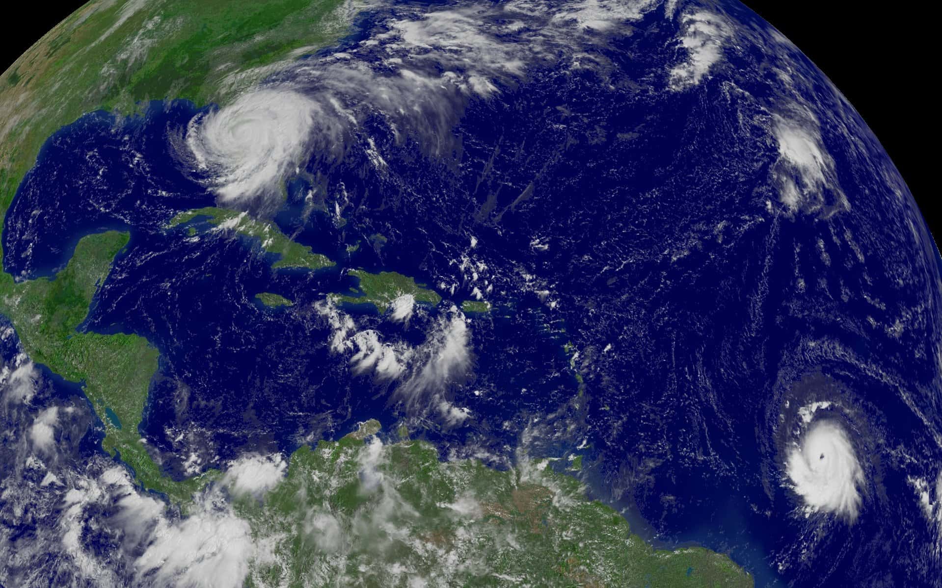
The Atlantic hurricane season is entering its climatological peak, the stretch around Sept. 10 when tropical activity in the basin historically reaches its annual maximum, and Florida has so far gone without a landfalling storm. NOAA has maintained its below-normal forecast for the 2026 season, calling for 7 to 13 named storms, of which 2 to 6 could become hurricanes and 0 to 2 could reach major hurricane strength. The most recent named system, Tropical Storm Edouard, came ashore near the Texas-Louisiana border rather than anywhere near the Florida coast. For Floridians, the question worth asking now is not whether the season has been quiet, but what a quiet season actually tells you about the next ten weeks.
Where the numbers stand
NOAA's updated outlook, issued ahead of the September peak, held the seasonal forecast in below-normal territory. The agency put the probability of a below-normal season at 75 percent, with a 20 percent chance of near-normal activity and just a 5 percent chance of an above-normal season.
Those probabilities are unusually lopsided. In a typical August update, forecasters hedge more heavily, because the peak of the season still lies ahead and a single active stretch can reshape the totals. A 75 percent below-normal probability reflects a set of environmental conditions that forecasters assess as genuinely unfavorable for development rather than merely neutral.
The named storm range of 7 to 13 compares against a long-term average of roughly 14 named storms per season under the current 30-year climate normal period. The hurricane range of 2 to 6 compares against an average near 7, and the major hurricane range of 0 to 2 against an average near 3.
Why the basin has stayed quiet
Several factors typically suppress Atlantic activity, and forecasters generally point to a combination rather than a single cause. Wind shear, the change in wind speed and direction with height, tears developing storms apart before they can organize a vertical circulation. Dry air, particularly Saharan dust transported west across the Atlantic, starves the convection that tropical systems require.
Sea surface temperature patterns matter as well, though not in the simple way the public discussion often implies. Warm water is a necessary condition for tropical development but not a sufficient one, and the arrangement of warmth across the basin, including the relative warmth of the Atlantic compared with the Pacific, influences large-scale circulation in ways that can either favor or suppress storms.
The current season has produced named systems that formed and then either stayed weak, recurved into open water, or, in Edouard's case, moved into the Gulf and struck well west of Florida. That distribution is partly environmental and partly the ordinary randomness of where storms happen to track.
The limits of a seasonal forecast
The most important thing to understand about NOAA's outlook is what it does not do. A seasonal forecast predicts basin-wide activity totals. It says nothing about where storms will go, and it offers no information about the risk to any particular coastline.
Florida's own history makes the point. The 1992 season produced only six named storms and one of them was Hurricane Andrew, which remains among the most destructive storms ever to strike the United States. A below-normal season by every statistical measure delivered a catastrophe to South Florida. The number of storms in the basin and the damage in any given state are largely independent variables.
Emergency managers make this argument every year and it does not fully land, because the human tendency is to read a low forecast as reassurance. The operational reality is that hurricane preparedness in Florida is calibrated to a single question: what happens if a storm comes here. That question has the same answer regardless of what the seasonal number is.
What remains of the season
The Atlantic season runs through Nov. 30, and while the peak falls around Sept. 10, meaningful activity continues well past it. October is historically a significant month for Florida in particular, because late-season storms frequently develop in the western Caribbean and track north or northeast into the Gulf or across the peninsula.
That western Caribbean pattern is a specifically Florida concern. Storms forming in that region are close to the state, which compresses warning time, and they often intensify quickly over the deep warm water of the Loop Current. Several of Florida's more damaging recent storms followed some version of that track.
Forecasters at the National Hurricane Center have indicated that tropical cyclone formation is not expected in the near term, but the outlook horizon on those statements is measured in days, not weeks. A quiet seven-day forecast in early September carries no implication for late September or October.
What it means for Floridians
The practical guidance for the remainder of the season has not changed. Know your evacuation zone, which is determined by storm surge vulnerability and is available from your county emergency management office. Evacuation zones are not the same as flood insurance rate map zones, and residents routinely confuse the two.
Maintain supplies for several days without power or municipal water. The standard recommendation is a minimum of three days and preferably seven, covering water at one gallon per person per day, non-perishable food, medications, batteries and cash. After a significant Florida landfall, restoration of power in the hardest-hit areas has repeatedly taken longer than a week.
Review insurance now rather than later. Florida property policies carry separate hurricane deductibles, typically calculated as a percentage of insured value rather than a flat dollar amount, and flood damage is excluded from standard homeowners policies entirely. Flood policies through the National Flood Insurance Program carry a 30-day waiting period, which means a policy purchased when a storm is approaching provides no coverage for that storm.
The insurance and economic backdrop
A season without a Florida landfall has consequences beyond the immediate relief. Florida's property insurance market has spent the past several years recovering from a period of insolvencies, rate spikes and carrier withdrawals, and the recovery has depended substantially on a run of years without catastrophic in-state losses.
Citizens Property Insurance Corporation, the state-backed insurer of last resort, has seen its policy count fall sharply from its 2023 peak as private carriers have taken policies back into the voluntary market. That depopulation and the rate reductions that followed are only sustainable if losses stay manageable, which means every quiet season strengthens the market's position and every major landfall tests it.
The same logic applies to the state's catastrophe fund and to reinsurance pricing, which flows through to premiums Florida homeowners pay. A second consecutive season without a significant Florida storm would meaningfully improve the arithmetic underlying 2027 rate filings.
How the season has run so far
The 2026 Atlantic season has produced named storms at a pace consistent with the below-normal forecast, and the storms that formed have largely tracked away from Florida. Dolly weakened into a remnant system whose moisture has contributed to the persistent rainfall over South Florida in recent days. Edouard formed in the Gulf and came ashore near the Texas-Louisiana border with winds near 60 mph, driving flash flooding across southwest Louisiana and southeast Texas rather than anywhere in Florida.
Storm names for the Atlantic basin come from rotating lists maintained by the World Meteorological Organization, with six lists cycling on a six-year rotation and names of particularly destructive storms retired and replaced. Reaching the letter E by early September is roughly on pace with a below-normal season.
Florida's absence from the impact list this year follows several seasons in which the state absorbed repeated landfalls. Communities in the Big Bend and on the southwest coast are still working through recovery from those storms, with FEMA having approved more than $1.5 billion for Florida projects during 2026 alone, most of it tied to damage from prior years.
Reading a forecast correctly
Hurricane communication has improved substantially over the past decade, and several persistent public misunderstandings remain worth correcting directly. The forecast cone shows the probable track of the storm's center, not the extent of its impacts. Damaging winds, rainfall and surge routinely occur well outside the cone, and roughly a third of the time the center itself moves outside it.
A watch and a warning are different products with different lead times. A hurricane watch means hurricane conditions are possible within 48 hours. A hurricane warning means hurricane conditions are expected within 36 hours. Evacuation decisions generally need to be made at the watch stage, because roads become impassable and shelters fill before warning conditions arrive.
Category ratings describe wind speed only. They say nothing about storm surge, rainfall or size, and Florida's deadliest recent storms have caused the majority of their fatalities through water rather than wind. A large, slow-moving Category 1 can produce far more damage than a compact Category 3, which is why emergency managers have increasingly moved away from category-based messaging toward hazard-specific warnings for surge, wind and rainfall separately.
What's next
The immediate outlook shows no tropical cyclone formation expected in the near term across the Atlantic basin. That is a genuinely favorable position to be in during the first week of September, and it is worth noting rather than discounting.
Attention through the middle of the month turns to the classic development regions: the eastern Atlantic where waves come off Africa, the central Atlantic, and, increasingly as the calendar advances, the western Caribbean and the Gulf. Any of the three can produce a Florida threat, and the warning timelines differ substantially depending on which does.
The season has 13 weeks left. Florida has come through the first three months without a landfall, which is good fortune worth acknowledging and a poor basis for standing down. The state's own history is unambiguous on that point.
Spotted an issue with this article?
Have something to say about this story?
Write us a letterComments
No comments yet. Be the first to weigh in.
Related Coverage

Isaias Brings Surge, Flooding Rain and Tornado Risk to Tallahassee and the Big Bend
2h ago

FPL Stages 12,000 Workers as Isaias Threatens Long Power Outages in the Panhandle
2h ago

Panhandle Evacuations Widen From Perdido Key to St. George Island as Major Hurricane Isaias Nears
23h ago

Soaked Northeast Florida Faces More Flooding as Tropical Storm Isaias Takes Aim at the Gulf Coast
1d ago