Hurricane Center Gives Low Near the Bahamas a 60 Percent Chance to Become Subtropical Storm Kyle as Florida's East Coast Floods
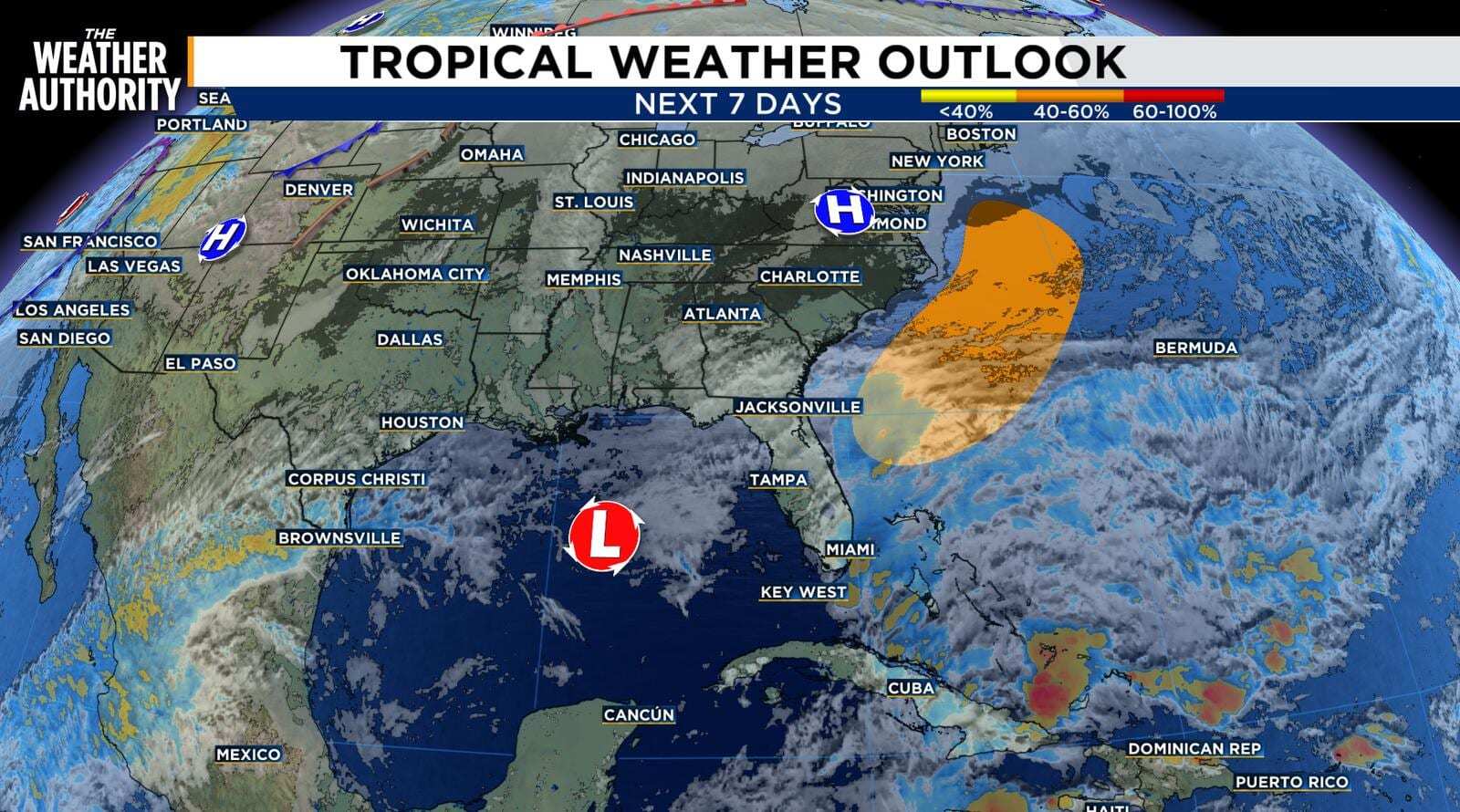
The National Hurricane Center on Thursday, Nov. 19, raised the odds that a low-pressure system forming near the northwest Bahamas will become a subtropical or tropical storm, putting the chance at 60 percent over the next seven days and 20 percent within 48 hours. If it develops, it would take the name Kyle, the 11th named storm of the 2026 Atlantic hurricane season, with 11 days left before the season officially ends Nov. 30. Whether or not it gets a name, the hurricane center said strong winds, dangerous surf and coastal flooding are likely along parts of the Southeast and Mid-Atlantic coasts into early next week, and the same weather pattern is already behind the flooding rain soaking Florida's east coast.
What the hurricane center is watching
In its 7 a.m. Thursday Tropical Weather Outlook, the hurricane center said disorganized showers and thunderstorms near the northwestern Bahamas and Florida are tied to a frontal system. A non-tropical low is expected to form along that front near the northwest Bahamas on Friday. The system could become a subtropical or tropical storm as it moves north or northeast, near or just offshore of the southeastern U.S. coast, through the weekend. The center told interests along the eastern U.S. coast to monitor its progress and pointed mariners to Gale Warnings in the National Weather Service's High Seas Forecasts.
The center's Tropical Weather Discussion on Thursday described near-gale to gale-force east winds and seas up to 14 feet over the northwestern Atlantic waters, driven by a tight pressure gradient between strong high pressure to the north and a surface trough reaching the central Bahamas. Strong to gale-force winds and rough to very rough seas are likely in the Atlantic east of Florida through the weekend regardless of development. The discussion also flagged heavy rain over the Bahamas and northern Cuba, with localized flooding possible where storms repeat over the same areas.
How the odds have climbed
The outlook has trended upward since Wednesday. News4JAX, reporting the forecast odds through the day, put the system at 0 percent within 48 hours and 20 percent over seven days late Wednesday morning. The station's afternoon report cited a 40 percent seven-day chance, and its evening update said the seven-day chance had increased to 50 percent. The hurricane center's Thursday morning outlook raised it again.
| Outlook | 48-hour chance | 7-day chance |
|---|---|---|
| Wednesday morning, Nov. 18 (News4JAX) | 0 percent | 20 percent |
| Wednesday evening, Nov. 18 (News4JAX) | 0 percent | 50 percent |
| Thursday 7 a.m., Nov. 19 (NHC) | 20 percent, low | 60 percent, medium |
A subtropical storm is a hybrid. It draws energy partly from the contrast between air masses, like a winter storm, and partly from warm ocean water, like a tropical storm, and its strongest winds tend to sit farther from the center. The hurricane center names subtropical storms from the same list as tropical storms, so either outcome would produce Kyle.
Why it matters for Florida
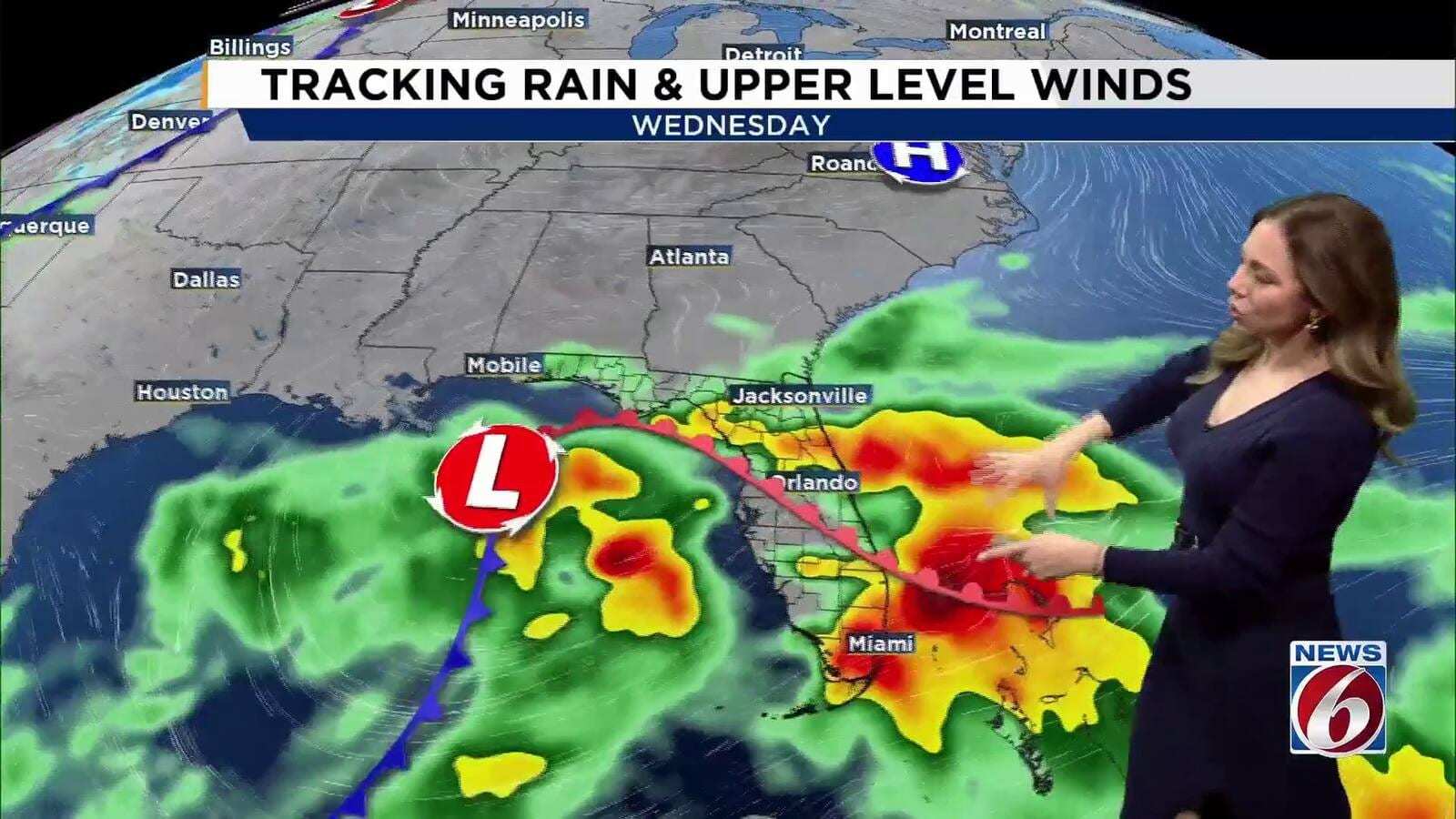
The low has not formed yet, but its parent pattern is already a Florida story. Deep tropical moisture, persistent onshore winds and the developing low are keeping the state's Atlantic side unsettled for several days, according to the Florida Public Radio Emergency Network. The Weather Service office in Miami said Thursday's bands of showers and storms over Miami-Dade, Broward and Palm Beach counties were forming on the north side of the developing low, after earlier rain left pockets of 8 to 15 inches across the region. In Broward, more than 15 inches fell in parts of Sunrise, Hollywood and Plantation over 72 hours, and the county remains under a local state of emergency.
Farther north, Flood Watches from the Weather Service offices in Melbourne and Jacksonville run through Friday evening for most of east-central and northeast Florida, with up to 12 inches possible in spots. The St. Johns River near Cocoa rose past its 1953 flood of record Thursday morning. News4JAX meteorologists said the expected low will spread more rain over Northeast Florida's Atlantic coast, while WKMG News 6 meteorologists said Friday's rain in Central Florida depends on where the low develops: if it forms farther from the coast, drier air could move in and lower rain chances.
The wind and water hazards are already posted. High Surf Advisories cover Florida's east coast, with breaking waves of 6 to 10 feet forecast for the Northeast Florida beaches through Sunday morning and 5 to 10 feet along the east-central coast, along with dangerous rip currents and beach erosion. Persistent onshore winds are also slowing drainage at high tide in coastal and tidal areas.
Track and timing
The hurricane center's outlook calls for the system to move north or northeast near or just offshore of the Southeast coast through the weekend. FPREN said that northeastward motion, away from Florida, should help conditions improve in Northeast Florida over the weekend, with drier weather by Sunday, Nov. 22. The heaviest coastal impacts from a developed system would then shift toward the Carolinas and the Mid-Atlantic into early next week, according to the outlook. The outlook does not describe a Florida landfall.
A late chapter in a below-normal season
The 2026 season has produced 10 named storms, with one hurricane, according to Wikipedia's season summary: Arthur, Bertha, Cristobal, Dolly, Edouard, Fay, Gonzalo, Hanna, Isaias and Josephine. NOAA forecast a below-normal season in May and kept that call in its August update.
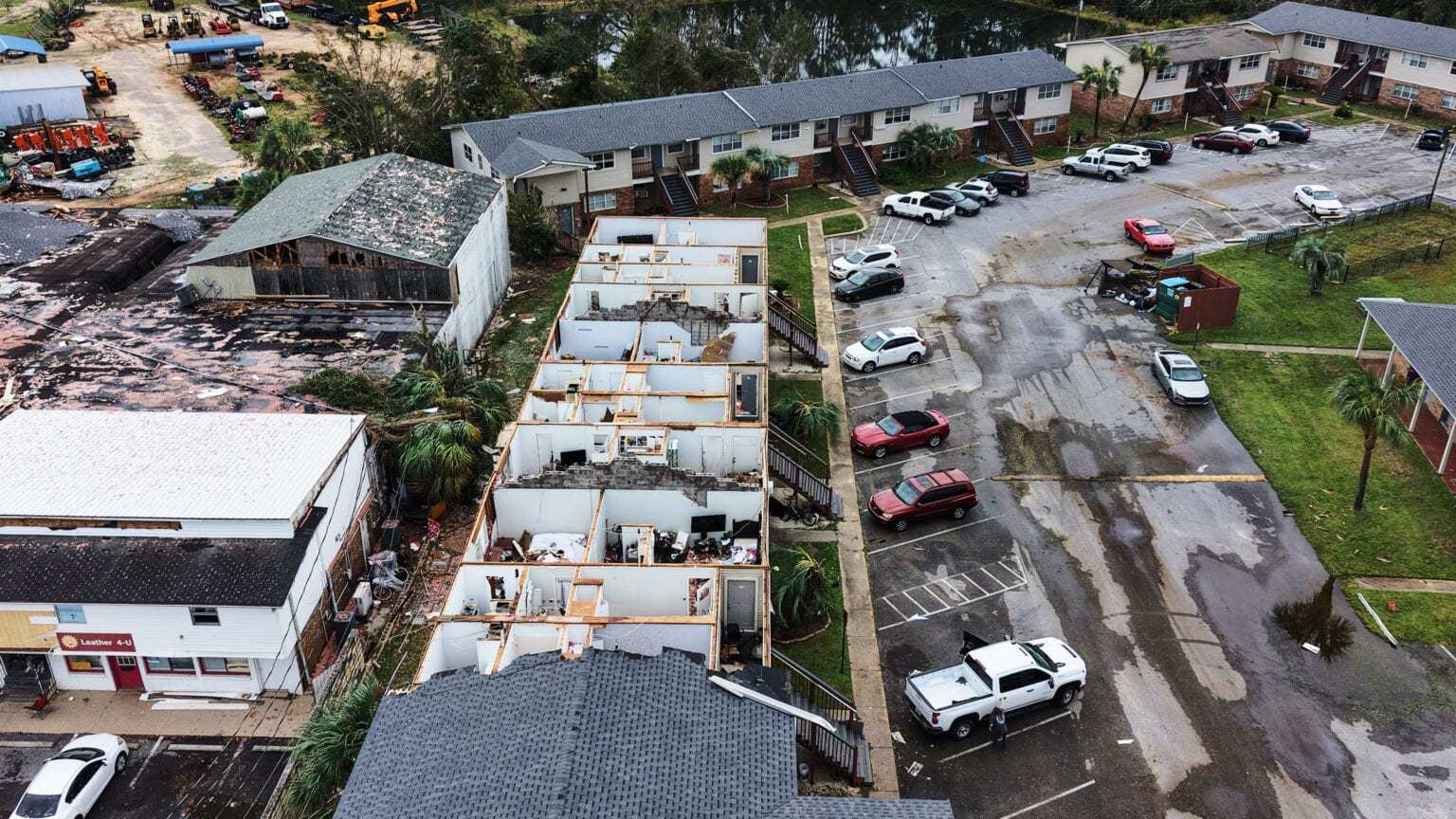
Florida's major storm of the year was Hurricane Isaias, which peaked as a Category 3 hurricane with 120 mph winds and made landfall near Destin on Oct. 10 with maximum sustained winds of 105 mph. The most recent named storm, Subtropical Storm Josephine, formed south of Nantucket on Oct. 21 and became extratropical late on Oct. 22. Although it stayed far offshore, it pushed a 2.5-foot storm surge into Kings Bay, Georgia, just north of the Florida line, a reminder that a subtropical system offshore can still raise water levels along the Southeast coast.
The Nov. 30 end date is a calendar convention. Storms occasionally form in late November and December, and the hurricane center issues outlooks and advisories whenever a system warrants them.
What's next
The hurricane center issues Tropical Weather Outlooks four times a day, and any formation would trigger advisories and possibly watches or warnings for the coast. For Florida, the near-term threat is the rain and surf already underway: Flood Watches remain in effect through Thursday evening in South Florida and through Friday evening across east-central and northeast Florida. Residents along the Atlantic coast should keep monitoring the National Hurricane Center and their local Weather Service office through the weekend.
Spotted an issue with this article?
Have something to say about this story?
Write us a letterComments
No comments yet. Be the first to weigh in.
Related Coverage
Broward Stays Under State of Emergency as 15 Inches of Rain Floods Hollywood, Closing Miami-Dade and Broward Schools Thursday
3d ago
Hurricane Isaias Insured Losses Climb Past $735.5 Million as Claims Reach 68,071 in Florida
Nov 11
Frost Advisories Cover North Florida as Coldest Morning of the Season Arrives Sunday, With 40s Reaching Orlando and Tampa
Nov 10
St. Johns River Near Cocoa Breaks Its Flood Record, Heading for an 18.2-Foot Crest as Brevard Floods Again and Volusia Closes Schools
Nov 6