NOAA Forecasts Below-Normal Hurricane Season as First Atlantic System Stirs
Federal forecasters at the National Oceanic and Atmospheric Administration are projecting a below-normal 2026 Atlantic hurricane season, even as the basin's first potential system has begun to take shape. The outlook offers a measure of reassurance for Florida, the state most exposed to Atlantic tropical systems, but emergency managers are quick to caution that a quieter season is no guarantee of safety, because it takes only one landfalling storm to bring catastrophe.
The forecast lands in the heart of preparedness season, with Floridians watching the tropics closely after recent years of damaging storms. NOAA's seasonal outlook is among the most widely followed signals of what the coming months may hold, and a below-normal projection shapes both public expectations and the planning calculus of officials charged with protecting coastal communities.
What the forecast says
NOAA's outlook calls for a below-normal season, citing roughly a 55 percent chance that activity will fall below the historical average. The agency's ranges point to eight to 14 named storms, of which three to six are forecast to become hurricanes, including one to three major hurricanes of Category 3 strength or greater. Those figures sit beneath the long-term averages that define a typical Atlantic season.
Several atmospheric and oceanic factors underpin the forecast. Forecasters expect an El Nino pattern to develop and intensify during the season, a condition associated with increased wind shear over the Atlantic that tends to suppress storm formation and weaken developing systems. At the same time, ocean temperatures in the Atlantic are expected to run slightly warmer than normal, a factor that can fuel storms, and trade winds are likely to be weaker than average. The interplay of these influences produced the below-normal tilt in the seasonal projection.
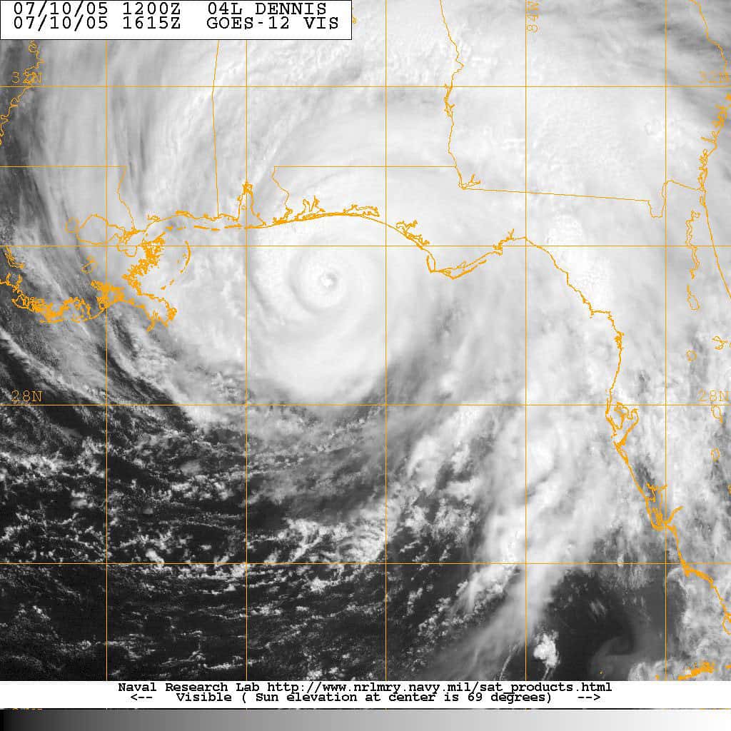
The first system of the season
Even as the seasonal outlook leans quiet, the basin has already produced its first system to watch. The National Hurricane Center has been issuing advisories on the season's initial potential tropical cyclone, with forecasters tracking its development and assigning it a medium chance of organizing further. The early activity is a reminder that seasonal averages describe the aggregate, not the timing or location of individual storms.
The distinction between a seasonal outlook and a specific threat is crucial. A below-normal forecast describes the expected overall level of activity across the entire Atlantic basin over the full season; it says nothing about whether, when, or where a particular storm might strike. Florida has been hit hard in seasons that were forecast to be quiet, and the early appearance of a system underscores why officials urge residents not to let a benign outlook breed complacency.
Why one storm is all it takes
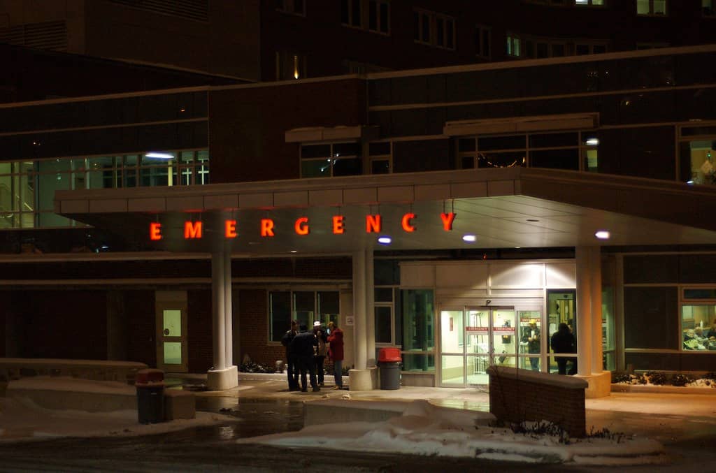
Emergency management officials repeat a consistent message every hurricane season: the number of storms matters far less than whether any of them make landfall where you live. A below-normal season that produces a single major hurricane striking a populated stretch of Florida coast can be far more destructive than an active season in which storms stay out to sea. The history of Florida hurricanes is full of devastating storms that arrived in otherwise unremarkable years.
That reality drives the standard preparedness guidance: every coastal resident should prepare as though their area will be hit, regardless of the seasonal forecast. Recent seasons have delivered painful lessons, with storms causing extensive damage and prompting major recovery efforts across the state. The memory of those events keeps preparedness urgent even when the statistical outlook is favorable.
What Floridians should do
Preparedness experts urge residents to use the early part of the season to ready their homes and families. That means assembling supply kits with water, food, medications, and essentials; reviewing insurance coverage, including flood policies that standard homeowners insurance does not include; knowing evacuation zones and routes; and having a plan for pets and family members with special needs. The time to prepare is before a storm threatens, when supplies are available and decisions can be made calmly.
Floridians are also encouraged to stay informed through official channels, including the National Hurricane Center and local emergency management agencies, rather than relying on unofficial sources that can spread confusion. Understanding the difference between a watch, which means hazardous conditions are possible, and a warning, which means they are expected, is essential to responding appropriately when a system approaches. Those distinctions can determine whether residents act in time.
The federal forecasting role
The seasonal outlook reflects the broader role federal agencies play in protecting Florida from tropical threats. NOAA, the National Hurricane Center, and the National Weather Service provide the forecasts, watches, and warnings that underpin the state's preparedness and response. That federal scientific infrastructure is the backbone of hurricane safety, supplying the data and analysis that emergency managers and residents rely on to make life-and-death decisions.
The accuracy and timeliness of those forecasts have improved markedly over the decades, giving communities more lead time to prepare and evacuate. For a state as exposed as Florida, the strength of that forecasting capability is a critical line of defense, and the seasonal outlook is one visible product of the year-round work that supports it.
What's next
With the season underway and the first system already being tracked, Floridians enter the period of heightened vigilance that runs through late November. Forecasters will continue to monitor the basin and to issue updates as conditions evolve, and the seasonal outlook may be refined as the peak months of August through October approach. The below-normal projection sets expectations, but the tropics will write the actual story week by week.
For now, the guidance is unchanged: prepare regardless of the forecast, stay informed, and treat every approaching system seriously. A below-normal season is welcome news, but Florida's hard-won experience teaches that the only storm that matters is the one that finds your coastline. The early activity in the basin is a timely reminder to be ready.
Spotted an issue with this article?
Have something to say about this story?
Write a letter to the editor