Northeast Florida Under Flood Watch as Up to 12 Inches of Rain Threatens St. Johns County and Jacksonville Through Saturday
A Flood Watch covers Duval, St. Johns, Flagler, Clay and Putnam counties through Friday evening as repeated rounds of heavy, wind-driven rain move ashore in Northeast Florida, with the National Weather Service in Jacksonville forecasting 3 to 6 inches of rain through Friday night and locally up to 12 inches. St. Johns County emergency managers warned drivers on Thursday, Nov. 19, not to enter flooded roads, Jacksonville canceled Thursday night's Sip and Stroll on the Southbank, and St. Augustine said its Nights of Lights launch on Saturday could be scaled back or canceled. Rain is expected to linger into Saturday before clearing Sunday.
The forecast through Saturday
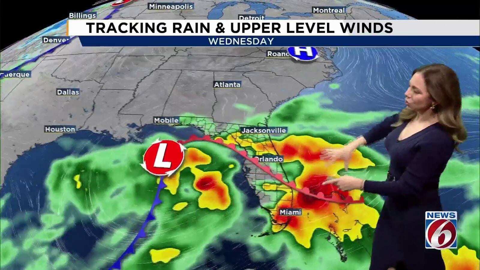
The Weather Service's Flood Watch, updated at 1:13 a.m. Thursday, said several rounds of heavy rain are expected to repeat over the same areas through the end of the week, raising the risk of urban and small-stream flooding along the coast. Excessive runoff could flood rivers, creeks, streams and other low-lying, flood-prone locations. News4JAX forecasters cited totals of 4 to 8 inches across parts of Northeast and North Central Florida, especially along the Interstate 95 and U.S. 17 corridors, and said St. Augustine could see 4 to 6 inches over the event.
The Florida Public Radio Emergency Network, writing for WUSF, said the highest concern in the region is St. Johns and Flagler counties, where flooding could worsen at high tide when elevated coastal water slows drainage. The Weather Prediction Center placed portions of Florida's east coast under a Moderate Risk, Level 3 of 4, for excessive rainfall, and FPREN said the flash flood risk extends from the Space Coast through Jacksonville from Friday into Saturday morning.
News4JAX's day-by-day outlook for the Jacksonville area:
| Period | Rain chance | Winds | Notes |
|---|---|---|---|
| Thursday | 100 percent | Northeast 18 to 21 mph, gusts to 31 | Among the wettest, windiest days; highs near 72 |
| Thursday night | 70 percent | Northeast 14 to 17 mph, gusts to 26 | Another quarter to half inch possible |
| Friday | 70 percent | Northeast 15 to 17 mph, gusts to 26 | Flooding risk stays high on saturated ground |
| Saturday | 60 percent | Breezy | Showers likely, especially afternoon |
| Sunday | Rain pattern breaks | Not given | Mostly sunny, highs near 75 |
St. Johns County's warning to drivers
St. Johns County Emergency Management used social media to remind drivers of the "Turn Around, Don't Drown" rule and urged residents to have more than one way to receive weather alerts because flash flooding can develop quickly.
In St. Augustine, the rain threatens Saturday's Light-Up! Night, which opens the city's annual Nights of Lights season. City officials said they are closely monitoring conditions and that safety concerns could lead them to modify or cancel Light-Up! Night activities, including the ceremony in the Plaza. Even if the ceremony is called off, the citywide light display will still be switched on Saturday. Fire Chief Carlos Aviles said city leaders understand how much the event means to downtown businesses, residents and visitors, but noted that downtown has flooded before and said the safety of residents, visitors, participants and staff remains the top priority.
Jacksonville cancels Sip and Stroll
City of Jacksonville officials canceled Thursday night's Sip and Stroll on the Southbank to keep guests and vendors safe from the weather, News4JAX reported. The next Sip and Stroll is scheduled for Dec. 17.
Water management district opens its emergency center
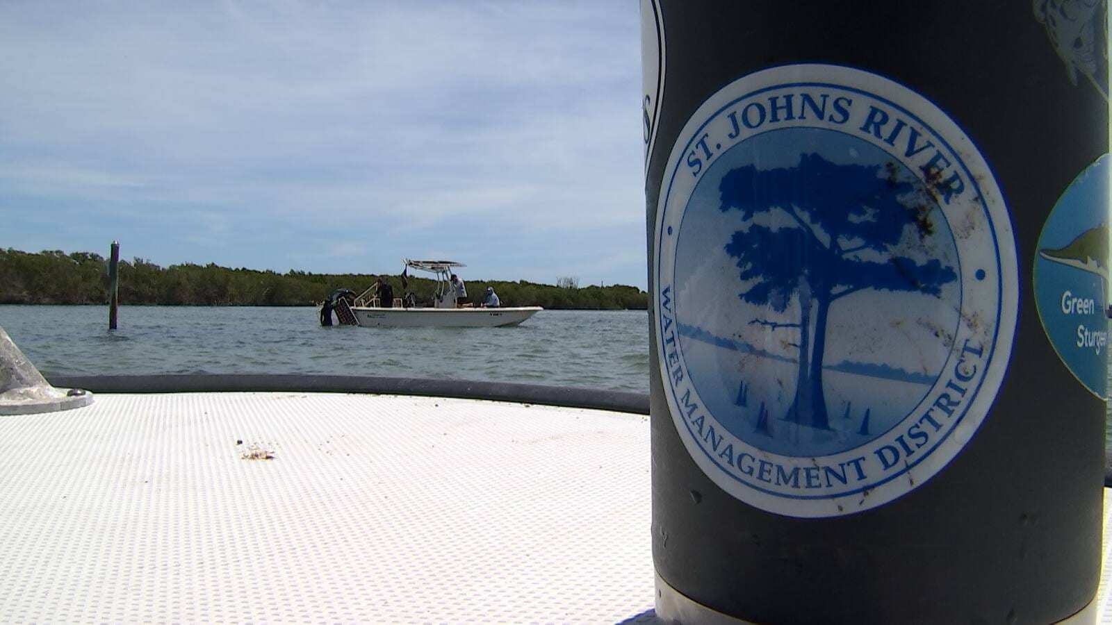
The St. Johns River Water Management District, headquartered in Palatka, activated its Emergency Operations Center on Wednesday ahead of what it called a significant rainfall event. District staff are operating and monitoring flood control structures, inspecting levees, canals, pump stations and water control structures, and coordinating with county emergency managers, local governments and the National Weather Service, according to the district's statement reported by News4JAX.
The district, which manages water across all or part of 18 counties in northeast and east-central Florida, said its most significant flood forecasts are upstream near Cocoa and Lake Harney, where levels could approach those seen during Hurricane Irma. It said it is holding back as much water as it safely can and may alternate releases between structures to limit downstream flows. The district told residents to direct questions about neighborhood flooding, road closures and evacuations to their local government or county emergency management agency.
The river's upper basin matters for Northeast Florida because the St. Johns flows north toward Jacksonville. Closer to home, News4JAX forecasters said persistent northeast winds are pushing water toward beaches and tidal waterways, slowing drainage, and that they are watching the barrier islands, the Intracoastal Waterway and the St. Johns River, where heavy rain timed with high tide could worsen tidal flooding.
Rough surf along the beaches
A High Surf Advisory from the Weather Service in Jacksonville runs until 7 a.m. Sunday for the coasts of Nassau, Duval, St. Johns and Flagler counties, along with Glynn and Camden counties in Georgia. Forecasters expect large breaking waves of 6 to 10 feet, a high risk of rip currents and localized beach erosion. The Weather Service described swimming and surfing conditions as dangerous.
The low off the Bahamas
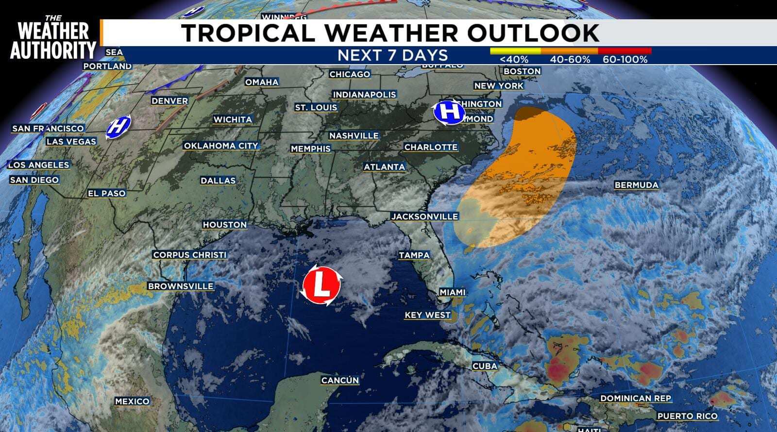
Part of the uncertainty for Friday and Saturday is a low-pressure system the National Hurricane Center expects to form along a front near the northwest Bahamas on Friday. In its 7 a.m. Thursday outlook, the hurricane center gave the system a 20 percent chance of becoming a subtropical or tropical storm within 48 hours and a 60 percent chance within seven days as it moves north or northeast near or just offshore of the Southeast coast through the weekend. Regardless of development, the center said strong winds, dangerous surf and coastal flooding are likely along portions of the Southeast and Mid-Atlantic coasts into early next week. News4JAX meteorologists said the system is expected to spread more rain over Northeast Florida's Atlantic coast, and FPREN said its move to the northeast should help conditions improve over the weekend.
What's next
The Flood Watch is set to expire at 7 p.m. Friday, but rain chances remain at 60 percent on Saturday before dropping overnight. Sunday and Monday look mostly sunny, with the next chance of rain returning Tuesday night and Wednesday, according to News4JAX. Forecasters warned that rivers and tidal creeks can keep rising after the rain stops, so residents near the St. Johns and its tributaries should keep watching water levels into next week.
Spotted an issue with this article?
Have something to say about this story?
Write us a letterComments
No comments yet. Be the first to weigh in.
Related Coverage
Hurricane Center Gives Low Near the Bahamas a 60 Percent Chance to Become Subtropical Storm Kyle as Florida's East Coast Floods
2h ago
Broward Stays Under State of Emergency as 15 Inches of Rain Floods Hollywood, Closing Miami-Dade and Broward Schools Thursday
3d ago
Hurricane Isaias Insured Losses Climb Past $735.5 Million as Claims Reach 68,071 in Florida
Nov 11
Frost Advisories Cover North Florida as Coldest Morning of the Season Arrives Sunday, With 40s Reaching Orlando and Tampa
Nov 10