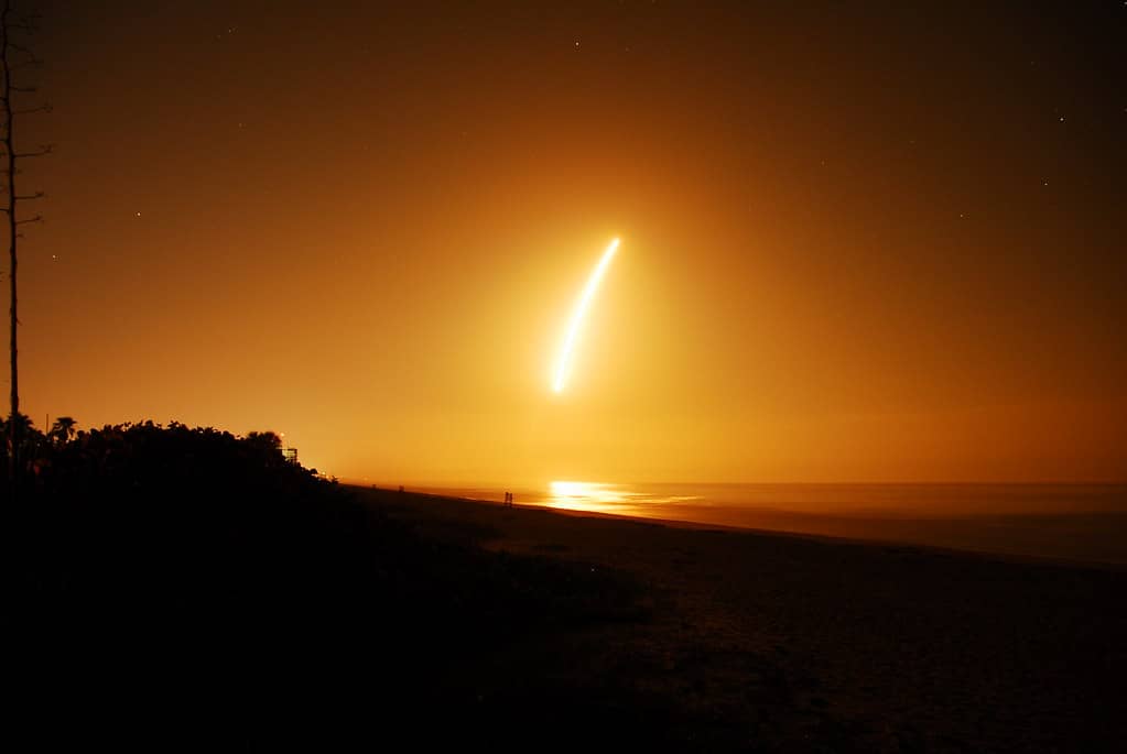
After Tropical Storm Arthur, Florida Faces a Quiet but Uncertain Hurricane Season
Tropical Storm Arthur, the first named storm of the 2026 Atlantic hurricane season, formed on June 17, 2026 in the western Gulf and weakened to a post-tropical cyclone after making landfall near Galveston, Texas on June 18, leaving a mark felt as far east as the Florida Panhandle. Arthur's moisture brought 5 to 10 inches of rain from Texas across the Gulf Coast into the western Panhandle, contributing to flooding, at least four reported deaths, and damage estimated above $100 million by the insurance firm Aon. As of June 20, the National Hurricane Center expected no new tropical formation in the Atlantic basin over the following seven days, offering Florida a brief reprieve. NOAA's 2026 seasonal outlook calls for a below-normal season, but forecasters caution that quiet odds are no guarantee of safety for any single community. For Florida, the message is one of preparedness even during a lull. What comes next is a season that, though forecast to run below normal, still demands vigilance from the Panhandle to the Keys.
Arthur's Path and Its Reach
Arthur took shape on June 17, 2026 in the western Gulf, becoming the first named storm of the season. It made landfall near Galveston, Texas on June 18 and weakened to a post-tropical cyclone afterward, but its effects extended well beyond its Texas landfall point.
The storm's moisture spread eastward, bringing 5 to 10 inches of rain from Texas across the Gulf Coast and into the western Florida Panhandle. That band of heavy rainfall illustrated how a storm need not make a direct Florida landfall to affect the state, with its moisture reaching the Panhandle and contributing to flooding there.
The human and financial toll underscored the storm's seriousness. At least four deaths were reported, and the insurance firm Aon estimated damage above $100 million. Those figures, tied to a storm that weakened after its Texas landfall, demonstrated the danger that even a first named storm of the season can pose across a wide stretch of the Gulf Coast.
The Panhandle's Flooding
For Florida, Arthur's most direct effect came in the western Panhandle, where the storm's moisture contributed to flooding. The 5 to 10 inches of rain that reached the region from the broader Gulf Coast system brought the kind of heavy rainfall that can overwhelm drainage and inundate low-lying areas.
The flooding served as a reminder that the Panhandle remains vulnerable to tropical systems and their remnants, even when the storm's center comes ashore far to the west. Water, rather than wind, often poses the greatest threat from such systems, and Arthur's rainfall illustrated that danger for the western reaches of the state.
The episode also highlighted the difference between a storm's landfall location and the breadth of its impact. While Arthur came ashore in Texas, its reach into Florida's Panhandle showed that communities far from a storm's center can still face significant effects, a lesson with implications for how residents across the Gulf Coast assess their risk.
Flooding from heavy rainfall poses a distinct kind of danger that does not always track with a storm's wind intensity. A system that has weakened, as Arthur did after landfall, can still carry enough moisture to inundate low-lying areas far from where it came ashore. For the Panhandle, that meant grappling with the consequences of a storm whose center never approached the region, a reminder that rainfall hazards can extend the reach of a tropical system well beyond its track.
A Brief Reprieve
In the days after Arthur faded, the tropics quieted. As of June 20, the National Hurricane Center expected no new tropical formation in the Atlantic basin over the following seven days, signaling a lull after the season's first named storm.
That forecast offered Florida a brief reprieve from the threat of tropical development. The absence of expected formation over the coming week gave communities a window free of immediate concern, a pause in the activity that defines hurricane season.
Such reprieves, however, are temporary by nature. The hurricane season stretches across months, and a quiet stretch in late June says little about what may develop later. The National Hurricane Center's seven-day outlook describes the near term, not the season as a whole, and Florida's exposure to tropical threats persists regardless of any single quiet period.
NOAA's Below-Normal Outlook
NOAA's 2026 seasonal outlook calls for a below-normal season, assigning about a 55 percent chance of below-normal activity, a 35 percent chance of near-normal, and a 10 percent chance of above-normal. The outlook forecasts 8 to 14 named storms, 3 to 6 hurricanes, and 1 to 3 major hurricanes.
A developing El Nino is expected to suppress activity over the course of the season. El Nino conditions tend to create wind patterns less favorable to tropical development in the Atlantic, a factor that underpins the forecast for a quieter-than-usual season even as Atlantic waters run slightly warm.
The combination of a suppressing El Nino and slightly warm Atlantic waters produces a forecast that leans toward fewer storms while leaving room for activity. The ranges in NOAA's outlook span from a relatively quiet season at the low end to a more active one at the high end, reflecting the uncertainty inherent in seasonal forecasting.
The probabilities themselves convey that uncertainty. A 55 percent chance of below-normal activity still leaves a meaningful likelihood of a near-normal or even above-normal season, captured in the 35 percent and 10 percent figures. Those odds caution against treating the headline forecast as settled, since the actual season could land anywhere within or beyond the projected ranges depending on how conditions evolve over the coming months.
Why Below Normal Is Not No Risk
Forecasters caution that a below-normal forecast is not a guarantee of safety for any single community. Seasonal outlooks describe the expected overall level of activity, not where storms will form or where they will strike. A quieter season can still produce damaging landfalls, and Arthur itself, the first storm of a below-normal forecast season, already brought deadly flooding and substantial damage.
That distinction matters for how Floridians prepare. The number of storms in a season has little bearing on the danger posed to a particular community if one of those storms makes landfall there. A single hurricane striking a vulnerable area can cause catastrophic damage regardless of whether the season as a whole runs quiet.
The lesson is that preparedness should not hinge on the seasonal forecast. Even a below-normal season can produce the storm that affects a given community, and the only reliable protection is readiness ahead of time. Arthur's early-season toll reinforced that even a season forecast to be quiet can begin with a costly and deadly storm.
Watches, Warnings and Preparedness
For Florida residents, understanding the difference between a watch and a warning is a basic element of preparedness. A watch indicates that tropical storm or hurricane conditions are possible within a specified area, generally giving residents time to prepare. A warning indicates that such conditions are expected, signaling that action should be taken without delay.
That distinction shapes how residents should respond as the season unfolds. A watch is a cue to review plans, gather supplies and stay informed, while a warning calls for completing preparations and heeding any instructions from local officials. Knowing the difference helps residents act appropriately as a storm approaches.
Preparedness extends beyond reacting to alerts. Having supplies, an evacuation plan and an understanding of local risks in place before a storm threatens gives residents the best chance of weathering whatever the season brings. Arthur's early arrival, before the typical peak of the season, underscored the value of being ready early rather than waiting for the heart of the season.
Florida's Season Ahead
With Arthur past and the tropics quiet as of June 20, Florida enters a lull, but the season ahead remains uncertain. NOAA's forecast of 8 to 14 named storms leaves room for additional systems to develop in the months to come, even under a below-normal outlook shaped by a developing El Nino.
The Panhandle's experience with Arthur's flooding offers a preview of the kinds of effects Florida can face, including from storms that do not make a direct landfall on the state. As the season progresses, communities across Florida, from the Panhandle to the Keys, remain exposed to the threats that tropical systems carry, whatever the seasonal totals.
The quiet stretch in late June provides an opportunity to prepare rather than a reason to relax. With months of the season still ahead and the possibility of damaging landfalls even in a below-normal year, the period of calm is best used to ensure readiness for whatever develops later in the season.
What's Next
In the immediate term, the National Hurricane Center's expectation of no new tropical formation through about June 27 gives Florida a stretch of calm. Residents and officials can use that window to review preparedness plans and ensure they are ready before the next system develops.
Over the longer season, NOAA's below-normal outlook suggests fewer storms than average, but the forecast ranges and the lessons of Arthur make clear that risk remains. A developing El Nino is expected to suppress activity, yet the potential for a damaging landfall persists for any community in the storm's path.
For Florida, the path forward is one of vigilance through a season that may run quiet overall but still carries real danger. The combination of a brief reprieve now and an uncertain season ahead leaves residents with a clear task: to stay prepared, understand the difference between watches and warnings, and recognize that even a below-normal forecast offers no guarantee of safety for any single community.
Spotted an issue with this article?
Have something to say about this story?
Write a letter to the editor