Extreme Heat Watch Covers the Panhandle as Advisories Blanket Most of Florida
An extreme heat watch took effect for the Florida Panhandle and Big Bend on July 28, with forecasters warning of air temperatures reaching 100 degrees and heat index values approaching 114. The watch follows a day in which heat advisories covered 43 of Florida's 67 counties, an unusually broad footprint that has left most of the state's population under some form of heat alert.
The National Weather Service distinguishes between the two categories, and the difference matters. A heat advisory means dangerous heat conditions are occurring or are imminent. An extreme heat watch, the more serious designation, indicates conditions are favorable for an extended period of dangerously high heat index values in the coming days, giving residents and emergency managers lead time to prepare.
July has been persistently hot across Florida. South Florida forecasters noted that the region had recorded 11 separate heat advisories in July alone, matching the total number issued across the entire previous summer. That frequency, rather than any single record high, is what has made this month notable.
What the alerts cover
The extreme heat watch focuses on the Panhandle and Big Bend, the stretch of North Florida running roughly from Pensacola east through Tallahassee and down toward the Nature Coast. Forecast heat index values near 114 degrees in that area reflect the combination of high air temperature and high humidity, which together determine how heat actually stresses the human body.
Heat index thresholds for issuing advisories are not uniform across Florida. Most National Weather Service offices in the state issue a heat advisory when the heat index is expected to reach roughly 108 to 112 degrees. Miami-Dade County operates under a lower threshold of 105 degrees, a difference that reflects both local climate norms and public health considerations in a dense urban county.
The advisories issued on July 27 across 43 counties stretched from South Florida through Central Florida and into the northern part of the state. Central Florida residents were under a heat advisory that ran until 8 p.m. that evening, with afternoon rain chances in the 40 to 60 percent range offering only limited relief.
Why this July has felt different
Earlier in the month, a strong heat dome settled over the Southeast, including Florida. Heat domes occur when a large area of high pressure parks over a region, sinking air, suppressing cloud formation, and trapping heat near the surface. Record or near-record highs were considered possible in Miami, Orlando, Tampa, and Key West during that stretch, with heat index values pushed into the 105 to 112 degree range.
The more consequential effect of the heat dome for Floridians was what it did to the state's afternoon thunderstorms. Florida's summer climate normally features a daily convective cycle in which sea breezes collide inland during the afternoon, generating storms that briefly but sharply cool the surface. The sinking air associated with a heat dome suppresses that cycle. When those storms fail to develop, the hottest part of the afternoon extends later into the day.
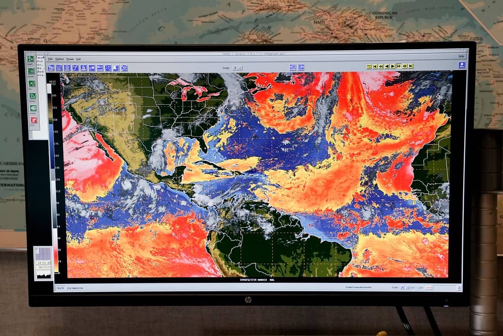
South Florida has been on track to break records for the number of heat days recorded, with forecasters noting the summer has run hotter than the previous year. Dusty conditions from Saharan dust transported across the Atlantic added to the picture earlier in the month, further suppressing storm development while creating hazy skies.
Who is most at risk
Heat is consistently among the deadliest weather hazards in the United States, and its risks fall unevenly. Outdoor workers face the most sustained exposure, a significant consideration in a state where construction, agriculture, landscaping, and roadway maintenance employ large workforces that cannot easily move indoors during peak heating hours.
Older adults face elevated risk because the body's ability to regulate temperature declines with age and because many common medications affect thermoregulation and hydration. Florida's large retiree population means this vulnerability is more widespread here than in most states. Young children, people with chronic cardiovascular or respiratory conditions, and people without reliable air conditioning are also at heightened risk.
Vehicles present a specific and recurring danger. Interior temperatures in a parked car can rise far above the outside air temperature within minutes, and the rise is fastest in the first period after the vehicle is parked. Cracking windows does not meaningfully change that trajectory.
Heat exhaustion typically presents with heavy sweating, weakness, nausea, headache, and cool or clammy skin. Heat stroke, which is a medical emergency, may involve a body temperature above 103 degrees, hot and dry or damp skin, confusion, and loss of consciousness. Someone showing signs of heat stroke needs emergency medical attention immediately.
What officials recommend
Standard guidance during heat advisories and extreme heat watches centers on limiting exertion during the hottest hours, generally late morning through late afternoon. Where outdoor work cannot be rescheduled, guidance calls for frequent breaks in shade or air conditioning and steady fluid intake rather than waiting for thirst.
Counties across Florida operate cooling centers during heat events, often at libraries, community centers, and senior centers. Availability and hours vary by county, and residents are generally directed to their county emergency management office or the state's information line for current locations.
Checking on neighbors, particularly older residents living alone, is a recurring element of official messaging during extended heat. So is attention to pets, which face the same risks from parked vehicles and from hot pavement, which can reach temperatures well above the ambient air.
The energy grid dimension
Sustained statewide heat drives electricity demand upward as air conditioning systems run for longer stretches. Florida's summer peak demand typically occurs on hot late afternoons, and utilities plan generation and transmission capacity around those peaks.
For households, extended heat waves translate directly into higher electric bills, an effect that compounds across a month like this one. Utility assistance programs exist through county human services agencies and community action organizations, and Florida participates in the federal Low Income Home Energy Assistance Program, which provides cooling assistance in addition to heating aid.
Sustained high overnight temperatures compound the problem in a way that daytime highs alone do not capture. When nighttime lows remain elevated, buildings do not shed accumulated heat, and residents without air conditioning get no recovery period. Urban areas, where pavement and buildings retain heat, experience this effect most acutely.
How this fits the broader hurricane season
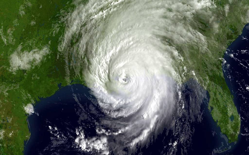
The heat is occurring during a hurricane season that has so far been quiet in terms of tropical development. The National Hurricane Center's outlook issued in the afternoon of July 27 indicated that tropical cyclone formation was not expected during the following seven days across the North Atlantic, the Caribbean Sea, and the Gulf. Forecasters noted a tropical wave in the eastern Atlantic near the Cape Verde Islands with no significant convection associated with it.
That quiet period is consistent with NOAA's preseason outlook, which called for a below-normal Atlantic season with 8 to 14 named storms. The absence of tropical activity, however, is part of what has allowed the heat pattern to persist. Tropical systems and the broader atmospheric disturbances associated with them often break down stagnant high pressure patterns.
Floridians should not read a quiet July as a forecast for the rest of the season. The historical peak of Atlantic hurricane activity runs from mid-September through October, and NOAA updates its seasonal outlook in early August ahead of that peak.
What the heat index actually measures
The heat index values driving these alerts are calculated rather than measured, and understanding the calculation clarifies why humidity matters as much as temperature in Florida.
The human body sheds heat primarily through evaporative cooling, meaning perspiration evaporating from skin. That process depends on the surrounding air's capacity to absorb moisture. When humidity is high, evaporation slows, and the body's principal cooling mechanism becomes less effective.
The heat index combines air temperature and relative humidity into a single number representing what the conditions feel like in terms of physiological stress. An air temperature of 95 degrees at low humidity produces less strain than 90 degrees at high humidity.
The standard calculation assumes shade and light wind. Direct sun exposure can add roughly 15 degrees to the effective heat index, which means a forecast value of 114 in the Panhandle understates conditions for someone working in open sun.
This is why Florida's heat is more dangerous than raw temperature comparisons with the desert Southwest suggest. Phoenix records higher air temperatures; Florida records higher heat index values with greater frequency.
Outdoor workers and Florida law
Florida has no state standard requiring heat protections for outdoor workers, and state law preempts local governments from establishing their own requirements. That preemption removed the authority under which some Florida counties had considered local heat protection ordinances.
Federal oversight operates through the Occupational Safety and Health Administration's general duty clause, which requires employers to provide a workplace free from recognized hazards. OSHA has pursued heat-related enforcement under that clause and has worked toward a dedicated heat standard, though no federal standard is currently in effect.
The practical result is that heat protections for Florida's outdoor workforce depend largely on employer practice. Many construction firms, agricultural operations, and landscaping companies have adopted their own protocols covering water, rest, and shade.
The occupations at highest risk include roofing, where workers are on dark surfaces in direct sun, agricultural harvesting, road construction, and landscaping. Acclimatization matters substantially: workers new to a job or returning after time away face elevated risk during their first days.
Advocacy organizations and industry groups have taken differing positions on mandatory standards, with the debate centering on whether requirements should be prescriptive or performance-based.
The urban heat island effect
Temperatures within Florida's metropolitan areas run measurably higher than in surrounding rural areas, a difference driven by the physical properties of built environments.
Asphalt and concrete absorb solar radiation during the day and release it slowly at night. Buildings reduce wind flow and add waste heat from air conditioning systems. Reduced tree canopy removes both shade and the evaporative cooling that vegetation provides.
The effect is most pronounced at night, when rural areas cool and urban areas do not. That matters physiologically because overnight recovery is what allows the body to reset after daytime heat exposure. A neighborhood where temperatures remain elevated through the night provides no recovery period.
The distribution within cities is uneven. Neighborhoods with less tree canopy and more paved surface run hotter, and canopy coverage in American cities correlates with income and with historical development patterns.
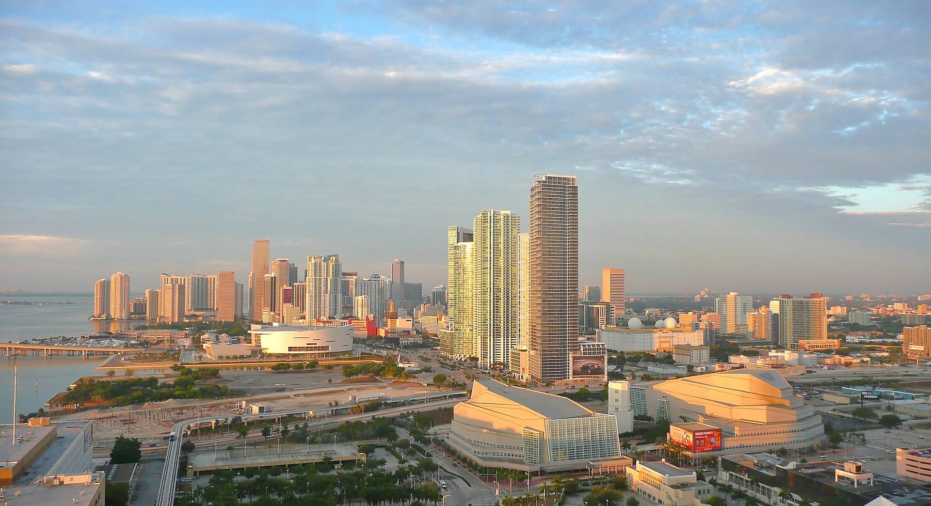
Several Florida cities have pursued tree planting and cool roof programs directed at the problem, and Miami-Dade County established a chief heat officer position, among the first such roles created anywhere.
What's next
Forecasters expect the pattern of daily heat alerts to continue through the near term, with the extreme heat watch for the Panhandle and Big Bend representing the most acute risk window. Residents in those areas should monitor National Weather Service updates, as watches are frequently upgraded to warnings when confidence in the forecast increases.
Storm chances were expected to increase later in the week across parts of Central Florida, which would moderate afternoon temperatures where storms develop. Those storms carry their own hazards, including lightning, which kills more people in Florida than in any other state.
Beyond this week, August and September historically bring Florida's most consistently hot conditions when measured by overnight lows and sustained humidity, meaning heat alerts are likely to remain a recurring feature of the forecast for at least the next two months.
Spotted an issue with this article?
Have something to say about this story?
Write a letter to the editor