NOAA Forecasts a Below-Normal 2026 Atlantic Hurricane Season as Basin Stays Quiet in Early June
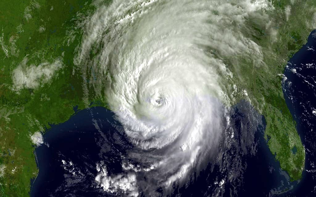
Florida is entering the 2026 Atlantic hurricane season with a forecast that leans calmer than usual. NOAA's outlook for the season, which runs from June 1 to November 30, predicts a 55% chance of a below-normal season, a 35% chance of a near-normal season, and just a 10% chance of an above-normal season. For a state that sits at the front line of nearly every Atlantic storm threat, the outlook offers a measure of cautious reassurance, paired with a familiar warning that one storm is all it takes.
In specific terms, NOAA forecasts 8 to 14 named storms for the season, of which 3 to 6 could become hurricanes, including 1 to 3 major hurricanes. Those ranges describe the basin as a whole and do not predict where any individual system might form, strengthen, or come ashore. For Floridians, the figures are a starting point for planning rather than a measure of personal risk.
As of early June 2026, the tropics are quiet. The National Hurricane Center's daily tropical outlook shows no tropical cyclone activity expected over the next seven days, leaving the basin calm at the official start of the season. A slow start, however, says little about what the later and typically more active months may bring.
Emergency officials and forecasters consistently stress the same point heading into any season: a below-normal forecast is not a guarantee of safety. The history of Florida storms includes destructive hurricanes that struck during otherwise quiet years, a reminder that seasonal totals matter far less to a community than whether a single storm finds it.
What the NOAA forecast says
NOAA's seasonal outlook is built around probabilities rather than certainties. The 55% chance of a below-normal season is the most likely single outcome, but it still leaves meaningful odds, a combined 45%, that the season turns out near-normal or above-normal. Reading the forecast correctly means treating it as a tilt in the odds, not a promise.
The numerical ranges give a sense of scale. With 8 to 14 named storms expected, the season could still produce a substantial roster of systems even on the lower end of activity. The forecast of 3 to 6 hurricanes and 1 to 3 major hurricanes underscores that even a quieter year can generate powerful storms capable of serious damage.
Major hurricanes, the strongest category in the forecast, are of particular concern because they account for a disproportionate share of storm damage. A season with relatively few named storms can still be devastating if one of its major hurricanes makes landfall in a populated area. That is why officials caution against reading low totals as low danger.
The outlook is a snapshot based on conditions as forecasters understood them ahead of the season. NOAA and other agencies update their thinking as the season progresses and as the atmosphere and ocean evolve, so the early outlook is best treated as a planning tool rather than a fixed prediction.
Why forecasters expect a quieter season
Several factors underpin the below-normal lean. NOAA cites the expected development and intensification of El Nino during the season as a key reason. El Nino, a periodic warming of parts of the Pacific Ocean, tends to suppress Atlantic hurricane activity, in part by increasing the wind shear that can disrupt developing storms. Its anticipated presence is a major reason forecasters tilt toward a quieter year.
Working in the other direction, Atlantic ocean temperatures are expected to be slightly warmer than normal, and trade winds are likely to be weaker than average. Warm water provides the energy that fuels tropical systems, and weaker trade winds can create a more favorable environment for storms to organize. These conditions could partly counteract the suppressing influence of El Nino.
The interplay of these competing factors helps explain why the forecast is a tilt rather than a confident call for an inactive year. When a suppressing influence like El Nino coexists with supportive conditions such as warm water, the result is often a season that leans quiet but retains the capacity to surprise.
Seasonal hurricane forecasting has matured over the years, with NOAA and academic groups such as Colorado State University issuing closely watched outlooks ahead of each season. These forecasts capture the broad environmental signals that shape activity, but they cannot pinpoint the path or timing of individual storms, which remain a matter for short-range forecasting once a system forms.
It helps to understand what a seasonal outlook is actually measuring. Forecasters assess large-scale conditions, the state of the Pacific, the warmth of the Atlantic, the strength of prevailing winds, and weigh how those ingredients have historically corresponded to busy or quiet years. The result is a probability spread, not a script. Two seasons with similar preseason signals can unfold very differently depending on the day-to-day atmosphere, which is why even a well-grounded outlook comes wrapped in ranges rather than precise counts.
A quiet basin in early June
The calm start to the season is reflected in the National Hurricane Center's daily products. As of early June 2026, the center's tropical outlook shows no tropical cyclone activity expected over the next seven days, meaning forecasters see no organized systems likely to develop in the near term. The Atlantic, for now, is quiet.
A quiet early June is not unusual. The Atlantic season typically builds toward its peak in the late summer and early fall, with August, September, and October historically the most active months. An uneventful start therefore offers little insight into how the heart of the season will play out, and forecasters caution against drawing conclusions from it.
The lull does, however, give Florida residents a valuable window. With no immediate threats on the horizon, households have time to assemble supplies, review plans, and address home preparations without the pressure of an approaching storm. Officials routinely urge residents to use such quiet stretches rather than wait for a system to form.
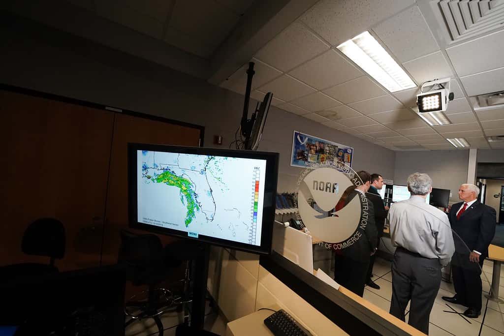
The National Hurricane Center maintains a steady rhythm of updates throughout the season, issuing daily tropical outlooks at 2 a.m., 8 a.m., 2 p.m., and 8 p.m. Those scheduled releases keep the public and emergency managers informed as conditions change, and they become the primary source of timely information once systems begin to develop.
Why Floridians should still prepare
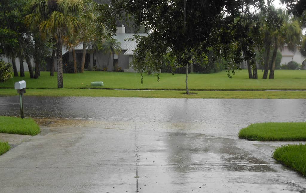
The central message from officials is that a below-normal forecast does not lower the need to prepare. It takes only one landfall to define a season for a community, and Florida's geography, with its long coastline and dense population, leaves the state exposed to storms no matter the overall basin activity. Preparation is treated as a constant, not a variable tied to the forecast.
History reinforces the point. Damaging hurricanes have struck during seasons that produced relatively few storms overall, because seasonal totals describe the basin while damage depends on where a single system goes. A resident's risk is governed by whether a storm reaches their location, not by how many storms form elsewhere.
Preparedness experts encourage residents to know their evacuation zones, build a supply kit, and have a family plan in place before any threat appears. Acting early avoids the shortages and crowds that emerge once a storm is forecast to approach, and it gives households time to make thoughtful decisions rather than rushed ones.
The quiet conditions of early June make this an ideal time to take those steps. With the tropics calm and no near-term threats, Floridians can prepare deliberately, ensuring they are ready well before the season reaches its more active stretch later in the summer and fall.
Preparation also carries a psychological benefit that is easy to overlook. Households that have already assembled supplies, settled on an evacuation plan, and agreed on how they will communicate tend to face an approaching storm with far less anxiety than those scrambling at the last moment. When a system finally threatens, the families who used the quiet weeks to get ready can focus on the specific decisions that matter most, leaving the routine logistics already handled.
Understanding watches and warnings
As the season progresses, Florida residents will increasingly encounter the terms watch and warning, and understanding the difference is essential to responding correctly. The two carry distinct meanings, and confusing them can lead to either complacency or unnecessary alarm.
A watch means that hazardous conditions are possible. When the National Hurricane Center issues a hurricane watch, it is alerting residents that hurricane conditions could affect an area, giving them time to review plans and prepare to act. A watch is a signal to pay close attention and get ready, even though the threat is not yet certain.
A warning carries greater urgency. A warning means that the hazardous conditions are expected, and a hurricane warning is typically issued when those conditions are anticipated within 36 hours. By the time a warning is in effect, residents should be completing their preparations and following the guidance of local emergency officials, including any evacuation orders.
Knowing the distinction helps residents calibrate their response. A watch is a cue to prepare; a warning is a cue to act. Officials encourage Floridians to monitor official sources, particularly the National Hurricane Center and local emergency management, so they can respond appropriately as a storm's threat evolves.
What's next
With the season underway and the basin quiet, attention turns to the months ahead, when activity historically increases. Forecasters will continue to monitor the development of El Nino and the state of Atlantic ocean temperatures and trade winds, factors that will shape how the below-normal lean holds up as the season matures.
NOAA and other forecasting groups may update their outlooks as the season progresses, and the National Hurricane Center will keep issuing its daily tropical outlooks four times a day throughout the season. Those updates, rather than the preseason forecast, will drive real-time decisions once systems begin to form.
For Florida residents, the practical course is unchanged by the optimistic forecast: prepare now, stay informed, and understand the warnings that may come. The quiet early days of June offer a chance to get ready without pressure, a window officials urge households not to waste.
The 2026 outlook leans calm, but the season runs through November 30, and the only storm that matters to any community is the one that reaches it. A below-normal forecast, officials emphasize, is a reason for measured confidence, not a reason to let down one's guard.
Spotted an issue with this article?
Have something to say about this story?
Write a letter to the editor