NOAA Forecasts a Below-Normal 2026 Atlantic Hurricane Season as Florida Enters Peak-Prep Mode
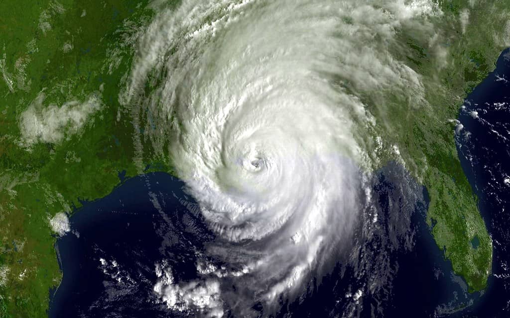
Federal forecasters have handed Florida a measure of cautious optimism for the months ahead. The National Oceanic and Atmospheric Administration's outlook for the 2026 Atlantic hurricane season, which runs from June 1 through November 30, calls for a below-normal year, giving that scenario a 55% probability. According to the agency's release, there is a 35% chance the season lands near normal and only a 10% chance it climbs above normal. For a state that absorbs the brunt of nearly every active Atlantic season, the projection offers some breathing room as residents move into peak preparation mode.
The forecast translates into specific numbers that emergency managers will watch closely. NOAA expects 8 to 14 named storms, of which 3 to 6 are projected to become hurricanes and 1 to 3 are expected to strengthen into major hurricanes of Category 3 or higher. Those ranges sit at or below the long-term averages that define a typical Atlantic season, and they reflect a set of competing atmospheric and oceanic signals that forecasters have been tracking for months.
Florida officials, however, are framing the outlook as a reason to prepare rather than a reason to relax. The central message from state and federal authorities is consistent: a below-normal season does not mean no risk. A single landfalling storm, striking the wrong stretch of coastline at the wrong moment, can still produce catastrophic damage regardless of how quiet the broader season turns out to be. That caveat has become a fixture of every Florida hurricane briefing, and 2026 is no exception.
What is driving the below-normal outlook
The forecast rests largely on the expected development of El Niño, the periodic warming of the central and eastern Pacific Ocean that ripples across global weather patterns. According to NOAA, El Niño is expected to develop and intensify during the season, and its presence tends to suppress Atlantic hurricane activity. The mechanism is well understood by meteorologists: El Niño generally strengthens upper-level winds over the Atlantic basin, increasing wind shear that can tear apart developing storms before they organize into hurricanes.
That suppressing influence is not operating unopposed, though. Forecasters point to two factors that could support storm development and keep the season from going completely dormant. Atlantic ocean temperatures are running slightly warmer than normal, and warm water is the fuel that tropical systems draw on to intensify. At the same time, trade winds across the basin are weaker than average, a condition that can make it easier for disturbances to spin up rather than being blown apart.
The result is a tug-of-war between forces that quiet the season and forces that energize it. NOAA's below-normal lean reflects its assessment that the El Niño signal is likely to win out, but the agency's own ranges leave room for an active stretch if the supporting conditions assert themselves. That uncertainty is precisely why officials caution against reading the headline number as a guarantee.
Seasonal outlooks like this one describe the basin as a whole, not any particular coastline. They cannot say where storms will form, what track they will take, or which communities will be in the cone weeks or months from now. For Floridians, the practical takeaway is that the overall odds favor a calmer year while the personal stakes of any one storm remain unchanged.
A quiet start to June
The season is opening on a calm note. As of June 4, 2026, the National Hurricane Center said tropical cyclone formation is not expected during the next seven days anywhere in the Atlantic, the Caribbean, or the Gulf. That clean slate gives residents an uneventful window to finish stocking supplies, review insurance coverage, and confirm evacuation routes before the basin grows more active later in the summer.
Quiet early June stretches are common even in busy seasons. The Atlantic typically does not reach its most dangerous phase until late August and September, when ocean heat content peaks and atmospheric conditions most often align for rapid intensification. A peaceful opening week, in other words, says little about what August and beyond may hold, and forecasters routinely remind the public not to let an easy start breed complacency.
State officials are using the lull deliberately. With no immediate threat on the horizon, the focus has shifted to readiness campaigns and public messaging designed to reach Floridians before the first watch or warning is ever issued. The logic is straightforward: preparation done in calm weather is far easier and far cheaper than scrambling once a storm is bearing down.
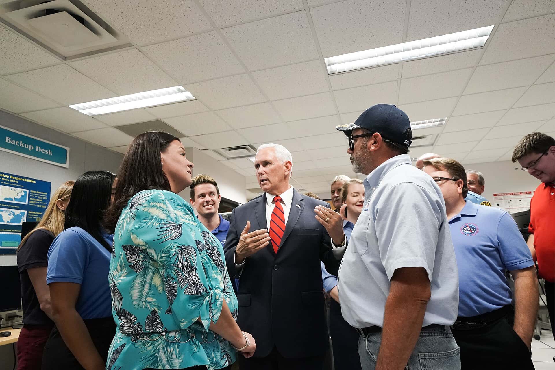
DeSantis and state emergency officials press for plans
On June 2, 2026, Gov. Ron DeSantis joined the Florida Division of Emergency Management to urge Floridians to build a family disaster plan ahead of the season's busy stretch. The appearance underscored a recurring theme of Florida hurricane policy, which treats individual household readiness as the first line of defense well before state and federal resources are mobilized.
A family disaster plan, as emphasized by officials, generally covers the essentials a household needs to act quickly. Those typically include the following:
- A communication strategy so family members can reach one another if separated when a storm hits.
- Known evacuation routes and a destination outside any mandatory evacuation zone.
- A supply kit with water, nonperishable food, medications, and other essentials to last several days.
- A plan for pets, important documents, and anyone in the household with special medical or mobility needs.
The Division of Emergency Management coordinates Florida's response across all 67 counties, working with local agencies on everything from shelter operations to debris removal. By pushing the preparedness message in early June, the agency aims to get households ready during the calm so that the system can focus its energy on the most vulnerable when conditions deteriorate.
How Florida changed its disaster-supply tax breaks
Floridians shopping for storm supplies this year will notice a shift in how the state handles sales tax on emergency goods. Florida no longer runs the temporary tax-free disaster-supply holidays that for years gave shoppers a brief window to buy hurricane gear without paying sales tax. Those limited-time events have been replaced by a more durable approach.
Under a 2025 law, many emergency-supply sales tax exemptions were made permanent and year-round rather than confined to a holiday weekend. According to the change, items such as batteries, certain generators, smoke detectors, and carbon monoxide alarms now qualify for the exemption at any point in the year. The practical effect is that residents no longer have to time their purchases to a specific window to capture the savings.
The policy shift carries a preparedness logic of its own. Temporary holidays tended to concentrate buying into a few frenzied days, sometimes after a storm was already forming. A permanent, year-round exemption encourages households to assemble and replenish their kits whenever it is convenient, smoothing demand and reducing the last-minute rush that strains store shelves when a threat appears.
For families assembling a kit for the 2026 season, the change means the financial incentive to prepare is now always available. Officials have folded that point into their broader readiness messaging, noting that there is no longer any reason to wait for a special weekend to buy the basics.
Why below-normal still demands respect
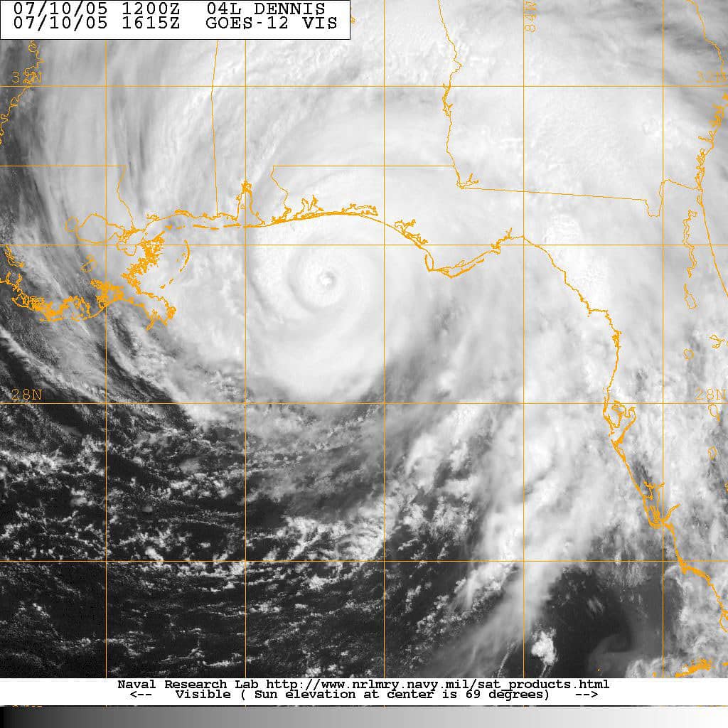
Florida's recent history is a reminder that seasonal totals can mislead. Some of the state's most damaging storms have arrived during years that were not especially active by basin-wide measures. The number of named storms says nothing about where any of them will go, and a quiet year that produces one major landfall can be far more destructive to a given community than a busy year that sends every system harmlessly out to sea.
That is the reasoning behind the constant official refrain that a below-normal forecast is not a reason to skip preparation. Geography leaves Florida exposed on multiple fronts, with the Gulf, the Atlantic, and the Florida Straits all capable of delivering a strike. A storm forming close to the coast can intensify quickly and offer little lead time, which raises the premium on plans made in advance.
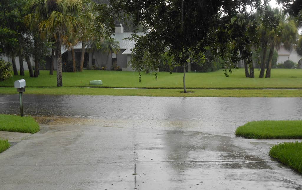
Emergency managers also stress that the dangers extend well beyond wind. Storm surge, inland flooding from heavy rain, and tornadoes spun off from a system's outer bands all pose serious threats, and they can affect areas far from where a storm comes ashore. A modest-looking hurricane can still drive a damaging surge or dump enough rain to flood neighborhoods miles inland.
What's next for Florida this season
The months ahead will test how closely the season tracks the outlook. NOAA and the National Hurricane Center will continue to monitor the basin around the clock, issuing updates as El Niño develops and as ocean and wind conditions evolve. Forecasters typically revisit their seasonal outlooks during the summer, and any meaningful change in the El Niño signal could nudge the projected ranges in either direction.
For now, the guidance to Florida residents is to use the quiet stretch wisely. That means finalizing family disaster plans, taking advantage of the year-round tax exemptions to stock up on essentials, and staying tuned to official sources rather than rumor as the season progresses. The early-June calm is an opportunity, not an all-clear.
Whether 2026 ultimately fits the below-normal mold or surprises with an active run, the preparation calculus for Florida does not change. The state's message heading into the heart of the season is the one it has repeated for years: hope for a quiet stretch, but be ready for the storm that does not read the forecast.
The numbers framing the season capture that balance. A 55% chance of a below-normal year leaves a meaningful share of probability on the other side of the ledger, and a forecast range topping out at 14 named storms and up to 6 hurricanes still describes a basin capable of producing a dangerous system. The El Niño signal that anchors the outlook can strengthen or stall, and ocean warmth and weak trade winds remain in place to support development if it does. For a state on the front line of the Atlantic, those competing forces are reason enough to treat the entire span from June through November as a window for vigilance rather than a countdown to relief.
Spotted an issue with this article?
Have something to say about this story?
Write a letter to the editor