Atlantic Stays Quiet as Florida Approaches Peak of Hurricane Season
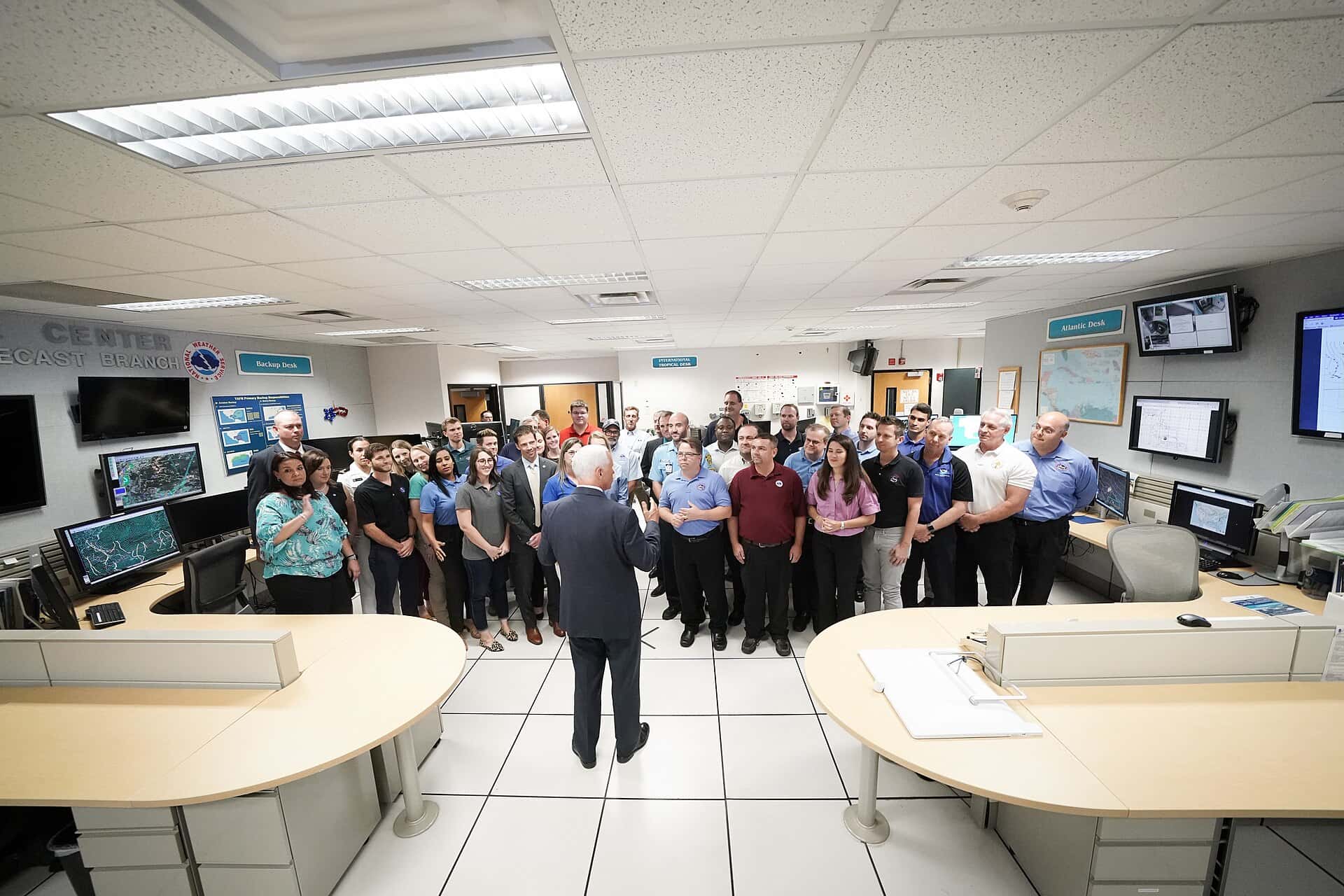
The National Hurricane Center is showing no expected tropical development across the Atlantic basin, the Caribbean, or the Gulf through the coming week, leaving Florida with an unusually quiet start to August as the calendar advances toward the historical peak of hurricane season. The lull reflects a combination of atmospheric conditions that have suppressed storm formation across the basin.
Why the basin is quiet
Two factors are doing most of the work. Saharan dust continues to spread westward across the tropical Atlantic from Africa, carrying dry, dusty air into the region where tropical waves typically organize. Tropical systems require deep moisture to develop, and the Saharan Air Layer starves developing disturbances of the humidity they need while also introducing stabilizing warm air aloft.
The second factor is wind shear. El Niño conditions in the Pacific drive hostile upper-level winds across the Caribbean and the tropical Atlantic. Wind shear, meaning a change in wind speed or direction with height, tears apart the vertical structure that a tropical cyclone requires to intensify. A disturbance that might otherwise organize gets sheared off before it can consolidate.
These are the classic suppressors of Atlantic activity, and their simultaneous presence explains why the basin has stayed empty despite ocean temperatures that remain warm enough to support development.
The seasonal forecast
NOAA's outlook for the 2026 Atlantic hurricane season called for below-normal activity, forecasting 8 to 14 named storms, of which 3 to 6 were expected to become hurricanes with sustained winds of 74 mph or higher, including 1 to 3 major hurricanes with winds of 111 mph or higher.
The agency assigned roughly a 55 percent probability to a below-normal season, 35 percent to a near-normal season, and 10 percent to an above-normal season. The forecast reasoning cited El Niño development as the dominant suppressing influence, offset partly by Atlantic ocean temperatures running slightly warmer than normal and trade winds likely weaker than average.
NOAA updates its seasonal outlook in early August, ahead of the climatological peak, and that update typically incorporates observed conditions from the first two months of the season alongside revised model guidance.
What a below-normal season does not mean
This is the point that matters most for Floridians, and it is the one most easily misread. Seasonal forecasts predict basin-wide activity. They say nothing about whether any individual storm will strike Florida.
The historical record is unambiguous on this. Hurricane Andrew struck South Florida in 1992 during a season that produced only seven named storms, well below average. Andrew was a Category 5 at landfall and remains among the most destructive hurricanes in United States history. A quiet season with one landfall is far worse for the affected community than an active season in which every storm recurves out to sea.
The relevant probability for any household is not the number of storms forecast for the basin. It is whether that household is prepared for the one storm that could arrive.
Florida's geography makes this permanent. The state has more coastline exposed to tropical systems than any other, with threats possible from the Atlantic, the Gulf, and the Caribbean, and no interior county far enough from the coast to be immune from wind and inland flooding.
The peak season ahead
The Atlantic hurricane season runs from June 1 through November 30, but activity is heavily concentrated. The climatological peak falls around September 10, with the period from mid-August through mid-October accounting for the large majority of storms and nearly all major hurricanes.
That means the quiet basin of early August provides limited information about the remainder of the season. Conditions that suppress activity in July and early August can change as the season progresses. Saharan dust outbreaks typically diminish as summer advances, and the position and strength of wind shear patterns shift.
Florida has entered the portion of the calendar when attention should be highest, not lowest. The state's most damaging storms have overwhelmingly arrived between mid-August and mid-October.
What Floridians should do now
A quiet stretch is the ideal time to complete preparations, precisely because supplies are available and there is no urgency competing for attention. The window between a storm's formation and its arrival is measured in days, and it is not enough time to do everything from scratch.
Households should confirm they have a supply of water at roughly one gallon per person per day for at least seven days, non-perishable food for the same period, medications, batteries, flashlights, and a battery-powered or hand-crank radio. Generators require fuel stored safely and must never be operated indoors or in an attached garage, a cause of preventable deaths after every major storm.
Documentation deserves specific attention. Insurance policies, identification, deeds, and medical records should be photographed and stored in a way that survives losing the physical copies and the house. Flood insurance is a separate policy from homeowners coverage, does not cover flooding under a standard policy, and generally carries a 30-day waiting period, which means it cannot be purchased as a storm approaches.
Every Florida resident should know their evacuation zone. Zones are assigned by county and based on storm surge vulnerability rather than distance from water, and they are not the same as FEMA flood zones. County emergency management offices publish zone lookups by address.
What seasonal forecasts can and cannot do
Seasonal hurricane outlooks occupy an awkward position in public communication, because the thing they measure is not the thing most people want to know.
These forecasts predict basin-wide activity by assessing large-scale climate drivers: El Nino or La Nina conditions in the Pacific, Atlantic sea surface temperatures, the West African monsoon, and typical wind shear patterns. Those factors genuinely influence how many storms form across an entire ocean basin over six months.
What they cannot predict is landfall. Whether a given storm strikes Florida depends on steering currents, the position and strength of the Bermuda High, and the timing of troughs moving across North America, all of which are weather-scale phenomena predictable only days in advance. No seasonal forecast issued in May or August contains information about where storms will go.
The gap between what the forecast measures and what the public wants creates a persistent communication problem. A below-normal forecast is frequently received as reassurance about personal risk, which it is not.
Meteorologists have tried various framings to address this, and the most useful remains the simplest: seasonal forecasts are for insurers, emergency managers, and researchers planning at a regional scale. For a household, the only relevant question is preparedness, and the answer does not change with the seasonal outlook.
Understanding watches, warnings, and categories
Precision in hurricane terminology matters because the terms carry specific operational meanings that drive different actions.
A tropical storm or hurricane watch means conditions are possible within the specified area, typically issued 48 hours ahead of expected onset of tropical storm force winds. A warning means conditions are expected, typically issued 36 hours ahead. The distinction is between possible and expected, and the shorter warning lead time reflects greater forecast confidence.
Storm surge watches and warnings are issued separately from wind products, a change implemented because surge is the deadliest hazard in most landfalling hurricanes and had historically been communicated inadequately.
The Saffir-Simpson scale categorizes hurricanes one through five based on sustained wind speed alone. It says nothing about surge, rainfall, tornado risk, or storm size. A large Category 1 can produce more surge than a compact Category 3, and inland flooding from rainfall has killed more people in recent decades than wind.
Evacuation orders are issued by county emergency management based on storm surge zones, not on category. A resident in an evacuation zone should leave when ordered regardless of what category the storm carries.
Knowing your evacuation zone
The single most useful piece of information a Florida resident can hold before a storm approaches is their evacuation zone, and a substantial share of residents do not know it.
Evacuation zones are assigned by county emergency management based on modeled storm surge vulnerability. They are lettered, typically A through E or F, with Zone A representing the most surge-vulnerable areas. Zones are not the same as FEMA flood insurance rate map zones, which serve an entirely different purpose, and confusing the two is common.
Zone assignment depends on elevation and surge modeling rather than simple distance from water. Properties several miles inland along a river or bay can fall in a higher-risk zone than properties closer to open coast at higher elevation.
Every Florida county publishes a zone lookup by address, and county emergency management offices maintain them. Checking takes a few minutes.
The corresponding guidance from emergency managers is that evacuation generally means moving tens of miles, not hundreds. The objective is leaving the surge zone, not leaving the state, and mass long-distance evacuation creates fuel shortages and highway congestion that endanger people who genuinely need to move.
What's next
The National Hurricane Center issues tropical weather outlooks covering two-day and seven-day windows, updated several times daily during the season. Those outlooks, along with local National Weather Service forecast offices in Miami, Tampa Bay, Jacksonville, Melbourne, Key West, Tallahassee, and Mobile, are the authoritative sources for Florida conditions.
NOAA's August update to the seasonal outlook will provide a revised view of expected basin activity for the remainder of the season. Whatever it says, the household-level preparation guidance does not change.
Floridians should treat the current quiet as an opportunity rather than a conclusion. The state has roughly four months remaining in the season, including the entire peak, and the preparations completed during a calm week are the ones that hold up when a storm is three days out and the shelves are empty.
Spotted an issue with this article?
Have something to say about this story?
Write us a letterComments
No comments yet. Be the first to weigh in.
Related Coverage
Strong fall cold front brings Florida Saturday rain, cooler air and dangerous surf this weekend
2d ago

Hurricane Center Gives Atlantic Low Near Cabo Verde a 20% Chance as Florida Gets a Break After Isaias
5d ago

Tallahassee and the Big Bend Escape Isaias' Worst, With Downed Trees, Brief Outages and Rising Rivers to Watch
Oct 9

Isaias Death Toll Rises to Six as Florida Hits 95% Power Restored and Escambia Tallies $64 Million in Public Costs
Oct 9