Saharan Dust and a Heat Dome Push Florida's Heat Index Toward 111 Degrees
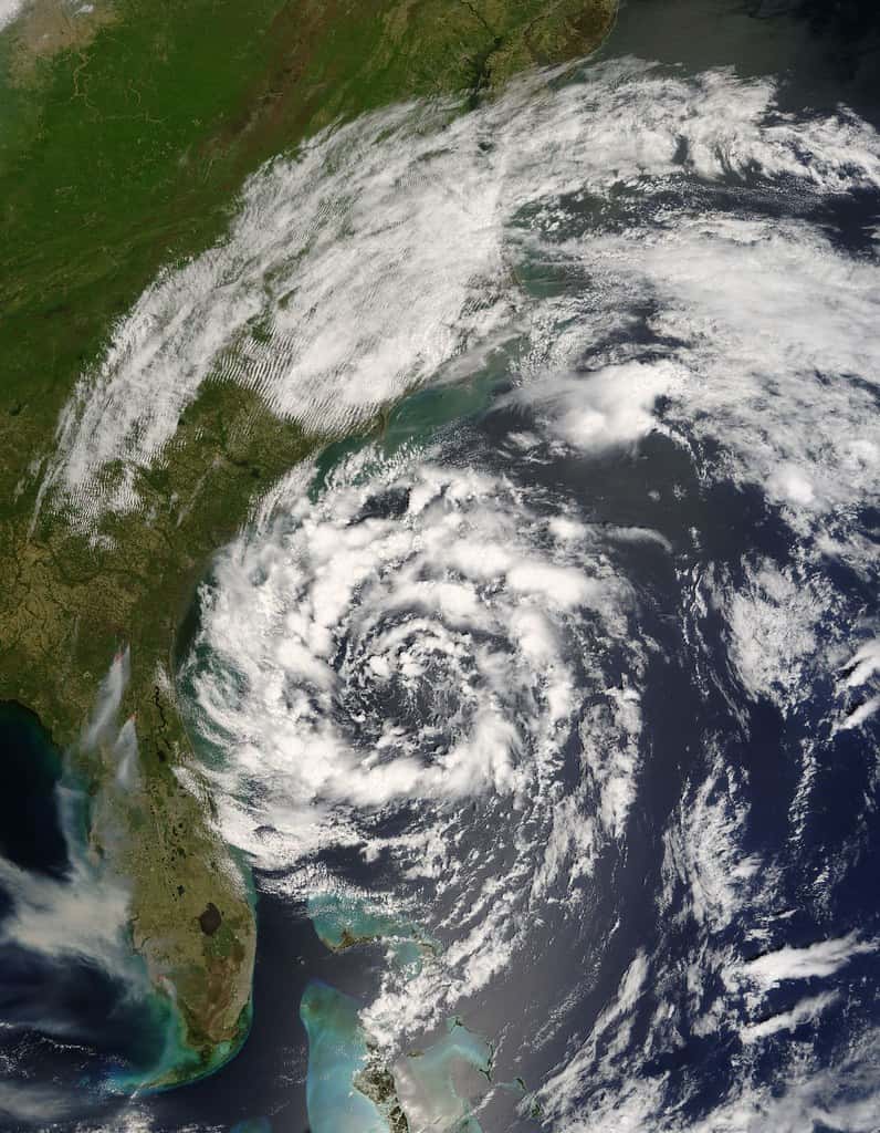
A punishing combination of a heat dome and a thick plume of Saharan dust settled over Florida this week, pushing feels-like temperatures toward 111 degrees and placing more than 50 counties across the peninsula under heat advisories. Hazy skies stretched from the Panhandle to South Florida as the dust dimmed the sun without doing anything to cool the air beneath it.
Forecasters warned that the dangerous heat would persist into early next week, with numerous daily temperature records in play across the state. The National Weather Service and local meteorologists cautioned residents to treat the conditions as a genuine health threat rather than a typical Florida summer stretch, urging people to limit time outdoors during the hottest hours.
The dust, carried thousands of miles across the Atlantic from Africa, is a recurring summer visitor to Florida. This year it arrived thick enough to reshape the forecast, suppressing rain that would normally offer afternoon relief while acting as a blanket that helps trap heat near the ground.
How hot it is getting
The core of the event is a heat dome, a sprawling ridge of high pressure that parks hot air over a region and lets temperatures build day after day. Under that dome, actual air temperatures across much of Florida climbed into the mid-90s, while heat-index values, the feels-like readings that combine heat and humidity, pushed toward 110 and 111 degrees.
Forecasters flagged the potential for record-high temperatures to be challenged or broken from Gainesville southward through Florida's Gulf Coast, including the Tampa Bay area. Communities that rarely threaten their all-time or daily marks were suddenly within reach of them, a measure of how intense and widespread the heat had become.
The heat advisory blanketed the peninsula, an unusually broad footprint that underscored the statewide nature of the event. When more than 50 counties fall under a single heat warning, the risk is not confined to one media market or coast; it is a Florida-wide hazard affecting millions of residents at once.
The role of Saharan dust
The Saharan Air Layer is a mass of dry, dusty air that forms over the African desert and drifts west across the tropical Atlantic each summer. When it reaches Florida, it produces milky, hazy skies and vivid sunrises and sunsets, but it also carries meaningful weather consequences.
The dust layer is dry and stable, which wicks moisture out of the atmosphere and suppresses the showers and thunderstorms that typically build over Florida on summer afternoons. Those storms usually knock temperatures down for a few hours; without them, the heat simply keeps climbing. Meteorologists described the dust as acting like a thermal blanket that allows temperatures to soar and traps heat rather than releasing it.
The same dust also degrades air quality. The fine particles can irritate the eyes, nose and throat and can be especially troublesome for people with asthma, allergies or other respiratory conditions. Health officials often advise sensitive groups to stay indoors when dust concentrations are high, adding another layer of caution to an already hazardous week.
Who is most at risk
Extreme heat is among the deadliest weather hazards, and its dangers fall hardest on specific groups. Older adults, young children, people with chronic illness and anyone without reliable air conditioning face the greatest risk of heat exhaustion and heat stroke when feels-like temperatures reach these levels.
Outdoor workers are also on the front line. Construction crews, landscapers, agricultural laborers and others who cannot escape the sun face prolonged exposure during the most dangerous hours of the day. Advocates and safety officials routinely stress the importance of water, rest and shade for workers during heat events of this magnitude.
Pets and animals are vulnerable as well. Hot pavement can burn paws, and vehicles parked in the sun become lethal within minutes. Emergency officials repeat the same warnings during every major heat event because the risks are preventable when residents take them seriously.
Staying safe in the heat
The core guidance during a heat advisory is straightforward. Residents are urged to drink water even before feeling thirsty, avoid strenuous activity during the afternoon peak, wear light and loose clothing and take frequent breaks in air-conditioned or shaded spaces. Checking on elderly neighbors and relatives is a recurring theme in official messaging.
Never leaving children or pets in parked cars is another constant warning, because interior temperatures can rise to deadly levels in a matter of minutes. Communities across Florida open cooling centers during severe heat, and local governments often publicize locations for residents who lack air conditioning at home.
Recognizing the warning signs of heat illness matters too. Heavy sweating, dizziness, nausea, headache and muscle cramps can signal heat exhaustion, which can progress to heat stroke, a medical emergency marked by confusion, a very high body temperature and hot, dry skin. Officials advise calling for emergency help immediately if heat stroke is suspected.
The strain on the power grid
Extreme heat does not just endanger people directly; it stresses the infrastructure they rely on to stay safe. Air conditioning is a matter of survival during a heat event of this magnitude, and as millions of Floridians run their units around the clock, electricity demand surges toward peak levels. Utilities plan for these summer peaks, but a prolonged heat dome pushes the grid to work harder for longer, raising the stakes of any equipment failure during the hottest stretch of the year.
A power outage during dangerous heat is far more than an inconvenience. When the air conditioning stops, indoor temperatures in Florida homes can climb quickly to hazardous levels, turning a routine outage into a life-threatening event for vulnerable residents. That risk is why emergency officials treat grid reliability during heat waves with the same seriousness they bring to storm response, and why utilities urge conservation during peak afternoon hours to ease the load.
The sustained demand also translates into higher electricity bills, adding a financial dimension to the heat for households already contending with Florida's elevated cost of living. Running an air conditioner continuously through a multi-day heat wave is expensive, and the burden falls hardest on lower-income families and those in older, less efficient homes. The heat, in that sense, becomes both a health hazard and a household expense.
A pattern, not an anomaly
What makes this week notable is not only its intensity but its place in a longer trend. Florida's summers have grown hotter over the years, and dangerous heat events that push the feels-like temperature past 110 degrees for days at a time have become more frequent rather than exceptional. Records that stood for decades are now challenged with unsettling regularity, a signal that the baseline against which residents measure a normal summer is shifting.
The combination of high humidity and high temperatures makes Florida heat especially dangerous compared with the dry heat of the desert Southwest. Humidity limits the body's ability to cool itself through sweat, which is why the heat index, rather than the raw air temperature, is the more meaningful measure of risk in the state. A 95-degree day in Florida can be more physiologically taxing than a hotter day in a drier climate.
Public health experts warn that as these events grow more common, the cumulative toll will rise unless communities adapt. That means expanding cooling resources, strengthening protections for outdoor workers and hardening the infrastructure that keeps residents cool. The current heat wave, in that framing, is less a one-off emergency than a preview of a recurring challenge Florida will face each summer.
When afternoon storms return
One paradox of the current pattern is that the same Saharan dust suppressing Florida's rain will eventually give way, and when it does, the atmosphere that has been baking under the dome can turn volatile. As moisture returns and the dust thins, the state's characteristic afternoon thunderstorms are likely to rebuild, offering relief from the heat but introducing their own hazards. Florida leads the nation in lightning strikes, and the return of storms brings the risk of dangerous lightning, heavy downpours and localized flooding.
That transition means residents should not simply wait out the heat and assume calm follows. The shift from a hot, dry, dusty regime to a wetter, stormier one can happen quickly, and the strong storms that form when heat and moisture collide can be intense. Staying weather-aware through the change is as important as heeding the heat advisory itself, since the days that break the heat can carry their own warnings. For now, though, the dust holds the storms at bay, leaving the heat as the dominant and most immediate threat across the state.
What's next in the forecast
The dust is forecast to linger around Florida and the Gulf Coast through much of next week, meaning the pattern of hazy skies, suppressed rain and dangerous heat is unlikely to break quickly. Rain chances were expected to recover slightly as moisture began to return, which could bring brief relief but also the risk of strong afternoon storms once the atmosphere destabilizes.
Forecasters emphasized that even a modest uptick in rain does not end the heat threat, since feels-like temperatures were projected to stay elevated into early next week. The safest assumption for residents is that hazardous heat will remain in place for several more days.
Beyond the immediate discomfort, the event fits a broader pattern of intensifying summer heat that Florida has experienced in recent years, a trend with implications for public health, energy demand and the strain on the state's power grid. For now, the message from forecasters is simple and urgent: respect the heat, limit exposure and check on those most at risk until the dome and the dust finally move on.
Spotted an issue with this article?
Have something to say about this story?
Write us a letterComments
No comments yet. Be the first to weigh in.
Related Coverage

Hurricane Center Gives Atlantic Low Near Cabo Verde a 20% Chance as Florida Gets a Break After Isaias
5h ago

Tallahassee and the Big Bend Escape Isaias' Worst, With Downed Trees, Brief Outages and Rising Rivers to Watch
3d ago

FPL Targets 95% Restoration by Monday as Isaias Outages Linger Across the Panhandle
3d ago

Panhandle Evacuations Widen From Perdido Key to St. George Island as Major Hurricane Isaias Nears
4d ago