Hurricane Season Peak Arrives With Florida Spared and Gulf Storm Tracking West
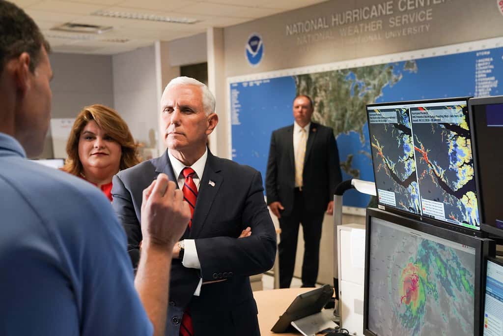
Florida enters the statistical peak of the Atlantic hurricane season this week without a single landfalling storm on its record for 2026, and the newest system in the basin is aimed away from the state. The National Hurricane Center in Miami began issuing advisories on Tropical Depression Five on Monday afternoon after the system organized in the northern Gulf a little more than 100 miles off the Louisiana coast, with forecasters expecting it to strengthen and take the name Edouard. Tropical storm warnings were posted for portions of the upper Texas coast and southwestern Louisiana, not for any part of Florida.
That leaves Florida in an unusual position as September opens. The climatological peak of the Atlantic season falls around September 10, the point in the calendar when the basin has historically produced more activity than at any other time. Reaching that date without a Florida landfall is not unheard of, but it is a meaningful marker for a state that has absorbed repeated strikes in recent years.
What the National Hurricane Center is tracking
Tropical Depression Five formed Monday afternoon in the northern Gulf. At the time advisories began, the system carried maximum sustained winds near 35 mph with higher gusts and was drifting west-northwest at roughly 5 mph, a slow forward motion that tends to increase rainfall totals wherever the center eventually moves ashore. Forecasters expected modest strengthening before landfall.
The forecast track carried the depression toward the upper Texas coast and southwestern Louisiana. Tropical storm warnings, which indicate that tropical storm conditions are expected within 36 hours, were issued for those coastal stretches. No watches or warnings were in effect for Florida, and the state was not included in the forecast cone.
Separately, forecasters continued to monitor a surface trough of low pressure associated with the remnants of Tropical Storm Dolly, which produced disorganized showers and thunderstorms near Hispaniola, the Turks and Caicos, and the southeastern Bahamas. Dolly, the season's fourth named storm, had already been downgraded to an open tropical wave after weakening over the open Atlantic.
Floridians should still expect an unsettled stretch of weather this week, though that has more to do with typical late-summer moisture and a persistent onshore pattern than with any organized tropical system. South Florida forecasters flagged a rainy week ahead independent of the Gulf depression.
Why the 2026 season has been quiet
The relative calm was forecast. NOAA's outlook for the 2026 Atlantic hurricane season called for a below-normal year, assigning a 55 percent chance to that outcome and projecting 8 to 14 named storms with winds of 39 mph or higher. NOAA maintained that call in its midseason update rather than revising it upward, which is itself a signal that the agency saw the atmospheric setup holding.
The dominant factor is El Nino. Forecasters expected the Pacific pattern to persist through the entirety of the hurricane season, and one assessment put the odds at roughly 81 percent that the year would finish with an anomalous, very strong El Nino in place. El Nino conditions in the Pacific tend to increase vertical wind shear across the Atlantic basin, and shear tears apart the vertical structure that developing storms need in order to organize and intensify.
That mechanism helps explain the shape of the season so far. The basin has produced named storms, including Arthur and Bertha in the Gulf and Dolly in the open Atlantic, but the systems have generally been short-lived and structurally ragged rather than long-track, intensifying hurricanes. Arthur brought record rainfall to portions of Louisiana and spawned tornadoes along the Gulf coast in June. Bertha formed south of the Florida Panhandle before making landfall in St. Bernard Parish, Louisiana, where strong wind shear limited its rainfall impact.
Forecasters also predicted a below-average probability of major hurricane landfalls along the continental United States coastline and in the Caribbean. That is a probability statement, not a guarantee, and the same seasonal outlooks that called for a quiet year have consistently carried the caveat that it takes only one storm to define a season for any given community.
The seasonal outlook also carries a limitation that gets lost in coverage. A named-storm count says nothing about where storms go. A season with 14 named storms that all recurve harmlessly into the open Atlantic is, for Florida, quieter than a season with six storms in which one crosses the peninsula. NOAA's outlook forecasts basin activity, not landfall risk for any particular coastline, and the agency has been explicit about that distinction for years.
What a quiet season means for Florida's insurance market
The absence of a Florida landfall has consequences well beyond the weather page. Florida's property insurance market has spent the past two years climbing out of a crisis, and the recovery has been underwritten in part by consecutive seasons without a direct hit.
The Florida Office of Insurance Regulation reported this summer that homeowners insurance rates decreased in 51 of Florida's 67 counties in 2026. Citizens Property Insurance Corporation, the state-backed insurer of last resort, implemented rate decreases averaging 8.8 percent for multiperil policies and 5.5 percent for wind-only policies, with every personal lines policyholder receiving a reduction of at least 2 percent. Those numbers rest on a set of assumptions about storm losses that a September landfall would immediately complicate.
Industry analysts have pointed to three drivers of the improved position: strong investment returns, favorable reinsurance pricing, and a 2025 season that produced zero direct Florida landfalls. Reinsurance pricing in particular is sensitive to recent loss history. Two consecutive quiet seasons compound into materially cheaper coverage for Florida carriers, and that savings has flowed through to consumers in the form of the rate filings regulators approved this year.
The reverse is also true. A single major landfall late in the season would reset those loss models, and the effect would show up in rate filings for 2027 and 2028 rather than immediately. Floridians reading about falling premiums this year should understand that the trend is contingent, not structural.
The rest of the season still counts
Hurricane season does not end until November 30, and roughly the entire back half of the season remains. The period from early September through mid-October has historically been the most active stretch for storms that reach Florida, particularly systems that develop in the western Caribbean and track north into the Gulf or up the peninsula.
El Nino suppresses activity but does not eliminate it. Storms that form close to the coast, in the Gulf or the western Caribbean, have less time to be affected by shear before they reach land, which is one reason short-fuse Gulf systems remain a live threat even in quiet years. Both Arthur and Bertha followed that pattern this season.
Emergency managers generally advise against treating a seasonal forecast as a personal risk assessment. The Florida Division of Emergency Management and county emergency operations centers maintain readiness postures through November regardless of the seasonal outlook, and the standard guidance about supply kits, evacuation zone awareness, and insurance documentation does not change based on whether NOAA has called for a busy or quiet year.
Know your zone before you need to
One point worth restating as the peak arrives: evacuation orders in Florida are issued by zone, not by county. When a county announces an evacuation, it applies to specific lettered or numbered zones within that county, typically those most exposed to storm surge, along with residents of mobile and manufactured homes. A resident in an inland zone of the same county is generally not under the order.
Confusion on this point creates real problems during a storm. Unnecessary evacuations clog the roads that people in genuinely threatened zones need to use, while residents who assume an order does not apply to them can end up sheltering in surge-prone structures. County emergency management websites publish zone lookup tools that let residents check their address, and the time to do that is before a storm is named.
The distinction between a watch and a warning matters just as much. A tropical storm or hurricane watch means those conditions are possible within 48 hours. A warning means they are expected within 36 hours. Watches are a signal to finish preparations; warnings mean the window for outdoor preparation is closing.
What's next
The immediate forecast question is whether Tropical Depression Five reaches tropical storm strength and takes the name Edouard before moving inland along the Texas and Louisiana coasts. Either way, the primary hazard for that region will be rainfall and localized flooding rather than wind, given the system's slow forward motion and limited intensity.
For Florida, the near-term outlook is a wet but unremarkable week, with tropical development chances concentrated well to the west. Forecasters will continue to watch the remnant trough near Hispaniola and the Bahamas, along with waves emerging from Africa, though El Nino-driven shear has repeatedly limited what those systems can do once they reach the central Atlantic.
The National Hurricane Center issues routine tropical weather outlooks four times daily during the season, at 2 a.m., 8 a.m., 2 p.m., and 8 p.m. Eastern, with special outlooks issued as conditions warrant. Residents tracking the peak weeks should rely on those products and on National Weather Service forecast offices in Miami, Tampa, Jacksonville, Melbourne, Key West, and Tallahassee rather than on long-range model images circulating on social media, which routinely depict storms that never form.
Documentation is the preparation step that people skip and later regret. Photographing or filming the interior and exterior of a home before a storm, including serial numbers on major appliances and the condition of the roof, creates the record that makes a claim straightforward rather than adversarial. Storing those files in cloud storage rather than on a device that may be lost or without power is the second half of that step, and it takes an afternoon.
Spotted an issue with this article?
Have something to say about this story?
Write us a letterComments
No comments yet. Be the first to weigh in.
Related Coverage
Strong fall cold front brings Florida Saturday rain, cooler air and dangerous surf this weekend
21h ago

Hurricane Center Gives Atlantic Low Near Cabo Verde a 20% Chance as Florida Gets a Break After Isaias
4d ago

Tallahassee and the Big Bend Escape Isaias' Worst, With Downed Trees, Brief Outages and Rising Rivers to Watch
Oct 9

Isaias Death Toll Rises to Six as Florida Hits 95% Power Restored and Escambia Tallies $64 Million in Public Costs
Oct 9