Saharan Dust Smothers the Tropics, Giving Florida an Early-Season Breather
Florida is catching an early-season break from the tropics. A large plume of Saharan dust has spread across much of the Atlantic basin, and combined with high wind shear over the Caribbean and the Gulf, it has effectively shut down tropical development for now. Forecasters at the National Hurricane Center indicated that no tropical development was expected over the next seven days, giving the state a quiet stretch in late June even as the 2026 Atlantic hurricane season remains officially underway.
The calm is a familiar feature of early summer in the Atlantic. The Saharan Air Layer, a mass of hot, dry, dusty air that drifts off the African continent, regularly suppresses tropical storm formation during June and into July. Its dryness and the strong winds that accompany it disrupt the conditions that developing storms need to organize, acting as a natural brake on the season's early stages. For Florida, the result is a welcome lull before the more active months ahead.
For Florida residents, the quiet period is an opportunity rather than a reason for complacency. The peak of hurricane season still lies weeks away, and the state's emergency managers consistently urge residents to use calm stretches to prepare. The current conditions offer a window to review supplies, plans, and insurance before the basin inevitably becomes more active later in the summer and fall.
What is happening in the tropics
As of late June, the Atlantic was quiet, with a large plume of Saharan dust covering much of the basin and high wind shear in place over the Caribbean and the Gulf. Forecasters tracked a couple of tropical waves moving westward across the deep tropics, but the surrounding environment was hostile to development. The combination of dry, dusty air and disruptive winds left little room for those waves to organize into anything more significant.
The National Hurricane Center indicated that no tropical development was expected over the next seven days across the Atlantic. Conditions in the Gulf reinforced the quiet pattern, with high pressure prevailing and generally light winds and calm seas in the vicinity of that high. The overall picture was one of a basin in a suppressed state, typical of this point in the calendar when the Saharan Air Layer is at its most influential.
The tropical waves moving across the Atlantic are routine features that emerge off Africa throughout the season. Most never develop, and the current environment makes development especially unlikely. Forecasters monitor these waves as a matter of course, but the present conditions mean none poses a near-term threat. The seven-day outlook for no development reflects confidence that the suppressive pattern will hold in the short term.
How Saharan dust suppresses storms
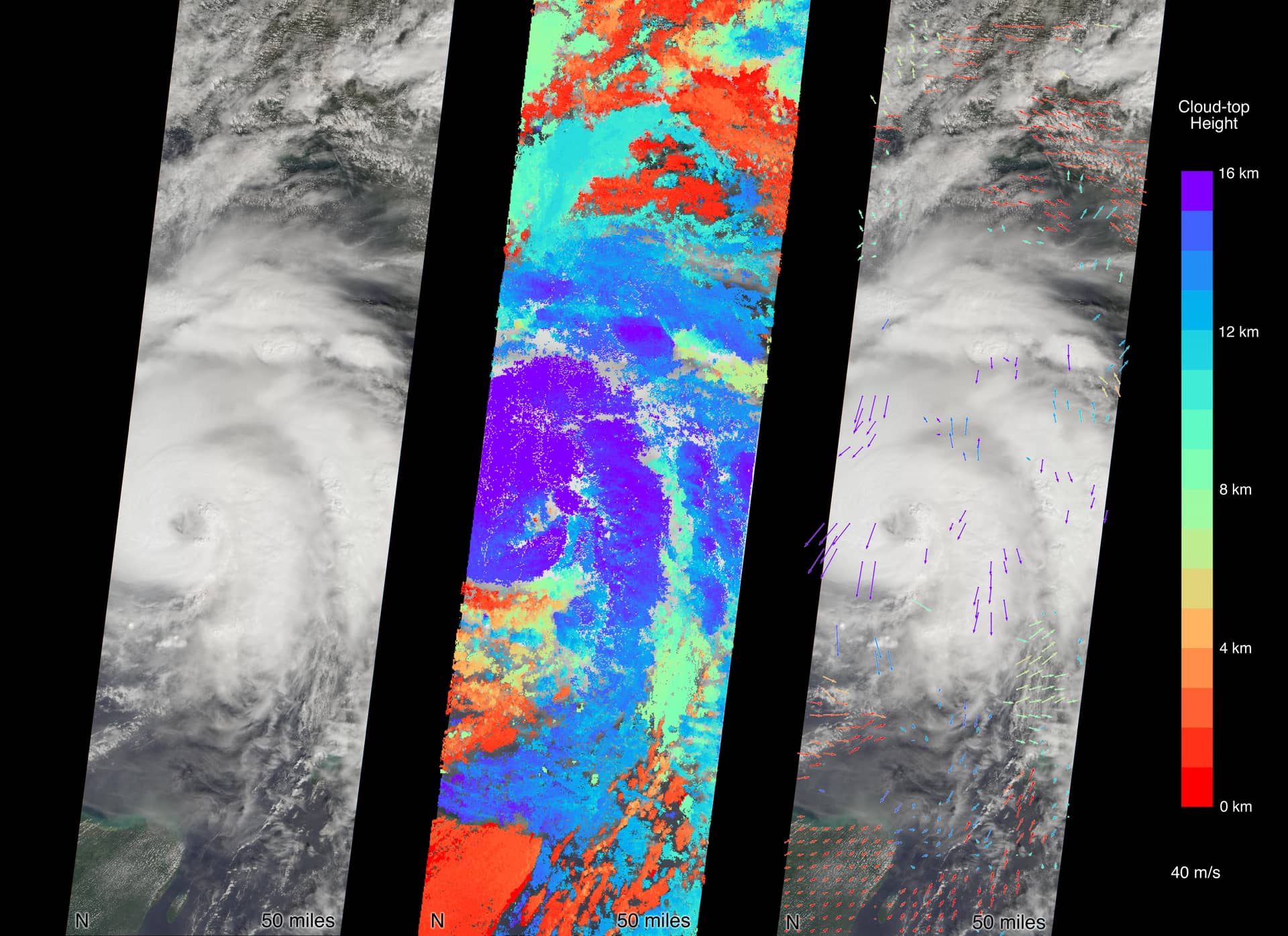
The Saharan Air Layer is a mass of very dry, dusty air that forms over the Sahara Desert and moves westward across the Atlantic on the prevailing winds. Its influence on tropical systems is significant because hurricanes require deep, moist air to develop and strengthen. The dry air associated with the dust layer chokes off the moisture that a developing storm needs, while the strong winds that often accompany the layer add disruptive shear.
Wind shear, the change in wind speed and direction with height, is one of the most effective inhibitors of tropical development. When shear is high, it tears at the structure of a developing storm and prevents it from organizing into a coherent system. The combination of dry Saharan air and high shear over the Caribbean and Gulf creates a doubly hostile environment for any wave attempting to develop, which is why the basin has gone quiet.
The Saharan dust phenomenon is seasonal and typically wanes as summer progresses. By August and September, the dust outbreaks generally diminish, the atmosphere becomes more favorable, and the Atlantic enters its most active phase. The current suppression is therefore a temporary feature of the early season rather than a sign of how the entire season will unfold. Forecasters caution against reading too much into a quiet June.
The 2026 season outlook
The broader forecast for the 2026 Atlantic hurricane season points to a below-normal year, though forecasters emphasize that a quieter season is not a safe season. NOAA's outlook for 2026 leaned toward a below-normal season, citing a developing El Nino pattern that tends to suppress Atlantic activity, balanced against slightly warmer than normal ocean temperatures that can support storms. The agency projected a range of named storms, hurricanes, and major hurricanes consistent with a below-average year.
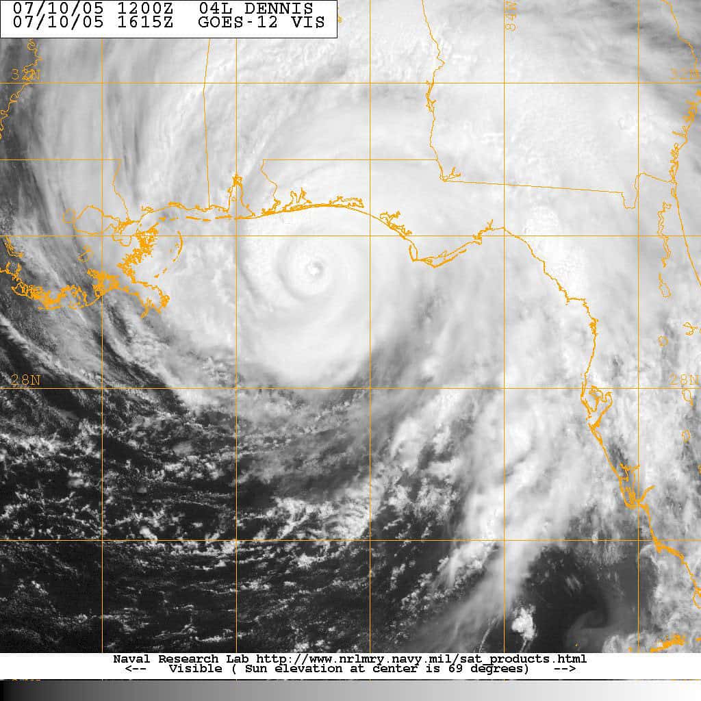
The first named storm of the season, Tropical Storm Arthur, formed earlier in June, an ordinary occurrence that does not by itself indicate an unusually active year. Early-season storms are common and say little about the overall season's intensity. The more important factors are the large-scale climate patterns, including El Nino and ocean temperatures, that govern how favorable the atmosphere will be during the peak months.
Forecasters and emergency managers are careful to stress that seasonal totals are only part of the story. A below-normal season can still produce a devastating hurricane if a single storm makes landfall in a populated area. Florida's history includes destructive hurricanes that struck during otherwise quiet seasons, and that history underpins the consistent message that residents should prepare every year regardless of the seasonal forecast.
What it means for Floridians
The immediate significance of the quiet tropics is that Florida faces no near-term threat from a developing storm. With no development expected over the next seven days, residents can go about their summer without an imminent system to track. That is genuine good news, particularly for coastal communities that bear the brunt of tropical threats and for the tourism economy that depends on a steady stream of visitors during the summer months.
The lull is also the ideal time to prepare. Emergency managers consistently advise residents to use quiet periods to assemble supply kits, review evacuation routes and zones, confirm insurance coverage, and make plans for pets and family members with special needs. Preparing during a calm stretch is far easier than scrambling when a storm is bearing down and supplies are scarce, and the current quiet offers exactly that kind of window.
Insurance deserves particular attention given Florida's unique exposure. Homeowners should confirm that their coverage is in force and understand what it does and does not cover, including the separate flood coverage that standard homeowners policies exclude. Reviewing those details now, while the tropics are quiet, ensures that residents are not caught off guard if a storm develops later in the season when it is too late to make changes.
The road to peak season
The Atlantic hurricane season runs through November 30, and the period of greatest activity historically falls in the late summer and early fall. The current quiet stretch is characteristic of the early season, when the Saharan Air Layer and other factors suppress development. As those factors fade in the coming weeks, the basin typically becomes more conducive to storms, and the frequency of systems tends to rise.
Florida's geography makes it perennially vulnerable. The state's long coastline and peninsular shape mean that storms can approach from the Atlantic, the Gulf, or the Caribbean, and few parts of the state are far from the water. That exposure is why Florida invests heavily in emergency management and why state and local officials maintain a year-round posture of readiness even during quiet periods like the present one.
The transition from the quiet early season to the active peak is gradual but reliable. Residents who prepare now will be in a far better position when the basin becomes more active. The current dust-driven lull is a gift of time, and the consistent advice from emergency managers is to use it well rather than to take it as a signal that the season will be uneventful.
What's next
Forecasters will continue to monitor the tropical waves moving across the Atlantic and the broader pattern of dust and shear that is currently suppressing development. The seven-day outlook for no development provides near-term reassurance, but conditions can evolve, and the Hurricane Center updates its assessments regularly. Residents can stay informed through official forecasts rather than relying on unverified social media posts that often circulate during quiet periods.
As summer progresses, the Saharan dust outbreaks are expected to diminish, and the atmosphere will gradually become more favorable for development. That seasonal shift typically unfolds over the coming weeks and sets the stage for the more active peak months. Forecasters will be watching for the first signs of a more conducive environment as the calendar advances toward August and September.
For Florida, the message is consistent regardless of the current calm. Prepare now, stay informed through official channels, and treat every season as a season that could bring a damaging storm. The quiet tropics of late June offer a valuable reprieve, and the best use of that reprieve is to be ready for whatever the rest of the season brings.
Spotted an issue with this article?
Have something to say about this story?
Write a letter to the editor