Florida's Hurricane Season Opens Wet and Quiet as NHC Tracks First System Far From State

As of June 12, 2026, the National Hurricane Center is tracking the Atlantic season's first area of interest, a tropical wave that has moved off Mexico's Yucatan Peninsula into the Bay of Campeche, where it poses no threat whatsoever to Florida. Forecasters give the system only a low chance, roughly 10 percent, of developing into a tropical depression or storm over the next seven days. If it does organize enough to earn a name, it would become Tropical Storm Arthur, the first named system of the year. For now, it is expected to act mainly as a heavy rainmaker for the coast of Mexico late in the weekend rather than as any organized danger to the United States Gulf Coast.
The system matters to Florida less for what it threatens and more for what it signals. Its appearance marks the official start of the tracking season at a moment when the state has been climbing out of a stubborn drought. Early June tropical downpours, separate from this developing wave, have already delivered several inches of much-needed rain across Central and South Florida, easing dry conditions even as they introduced periodic flash-flood and rip-current concerns along the coast. The result is a wet, quiet start to a hurricane season that NOAA expects to run below normal overall.
For residents from Tampa Bay to Miami-Dade, the early-season picture is a reminder that not every tropical headline carries a warning. The first system of 2026 is a low-odds rainmaker bound for Mexico, while the rains that have actually reached Florida came from unrelated moisture. Understanding that distinction matters as the state settles into the long stretch between June 1 and November 30, when the next six months will determine how the season truly unfolds.
What the National Hurricane Center Is Watching
The area of interest sits in the Bay of Campeche, the southern pocket of the Gulf of Mexico tucked against the Mexican coastline. The tropical wave drifted off the Yucatan Peninsula and into waters that, at this point in the calendar, offer only marginal support for development. Forecasters describe the environment as marginally conducive at best, which is why the seven-day formation odds remain low at about 10 percent.
The system carries an unusual pedigree. It is linked to the remnants of Pacific Tropical Storm Cristina, moisture and energy that crossed over from the eastern Pacific basin and now lingers in the western Gulf. Cross-basin connections like this are not rare early in the season, when leftover Pacific systems can seed Atlantic-side disturbances. What they produce, though, depends heavily on local conditions, and those conditions are not currently favorable for rapid strengthening.
Should the wave defy the odds and organize, it would claim the name Arthur, the first entry on the 2026 Atlantic name list. Even in that scenario, the projected track keeps it focused on Mexico's coast, where it would primarily threaten heavy rainfall rather than damaging winds. The Hurricane Center's messaging has emphasized that point, framing the system as a rain event for Mexico late in the weekend and explicitly noting it poses no threat to Florida.
For Floridians who watch the tropics closely each summer, the takeaway is straightforward. The season's opening act is unfolding hundreds of miles from the peninsula, with low odds of becoming anything more than a soaking for a foreign coastline.
A Below-Normal Season, by the Numbers
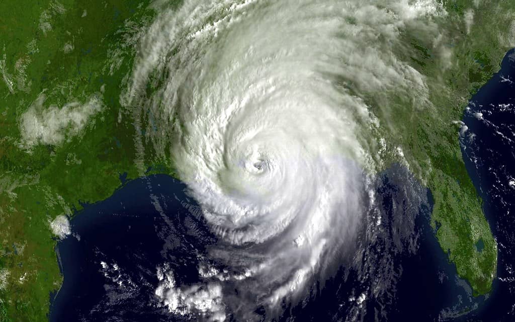
NOAA's outlook for the 2026 Atlantic hurricane season, which runs from June 1 to November 30, calls for below-normal activity. Forecasters project 8 to 14 named storms, of which 3 to 6 are expected to become hurricanes and 1 to 3 are expected to reach major hurricane strength, meaning Category 3 or stronger. Those ranges sit beneath the long-term averages that have defined recent active years.
The single biggest reason for the muted forecast is a developing El Nino. The climate pattern, marked by warmer-than-average waters in the equatorial Pacific, tends to increase wind shear over the Atlantic. That shear disrupts the vertical structure storms need to organize and intensify, effectively tearing developing systems apart before they can mature. When El Nino conditions take hold, Atlantic seasons frequently run quieter than they otherwise would.
A below-normal forecast, however, is not a guarantee of a calm season for any individual community. Even quiet years can produce a single, devastating landfall, and Florida's geography leaves it exposed regardless of the basin-wide tally. Emergency managers consistently stress that it takes only one storm hitting the wrong stretch of coast to make a season memorable for all the wrong reasons.
That is why the seasonal outlook functions as context rather than comfort. It describes the overall odds across the entire basin and the full six-month window. It says nothing about whether a particular hurricane will find Tampa Bay, the Panhandle, or the Treasure Coast in the months ahead.
From Drought to Downpour Across the Peninsula
Before the rains arrived, much of Florida had been mired in drought. Dry conditions stressed lawns, lowered water levels, and raised wildfire concerns across stretches of the state. The early June pattern shift, driven by tropical moisture unrelated to the Bay of Campeche system, changed that picture quickly across the southern two-thirds of the peninsula.
Central and South Florida absorbed several inches of rain over a short span, a welcome recharge for parched landscapes and depleted water tables. For agriculture, landscaping, and regional water supplies, the timing could hardly have been better, arriving just as the dry season's deficit had grown most pronounced. The downpours offered a tangible benefit that the season's first tracked system, bound for Mexico, will not deliver to the state.
The same rains carried hazards, though. Forecasters flagged periodic flash-flood threats at Level 1 of 4, the lowest tier on the scale, signaling localized rather than widespread flooding risk. Urban areas with poor drainage and low-lying neighborhoods faced the greatest exposure during the heaviest bursts, even as most of the state simply benefited from the water.
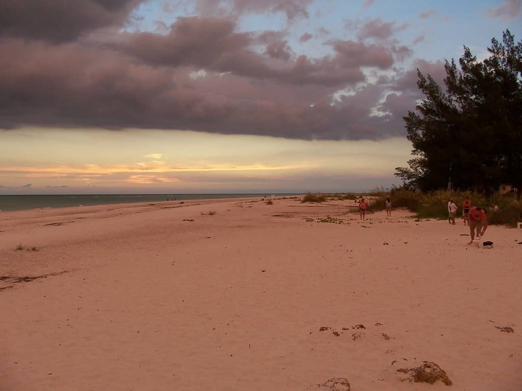
Along the coast, the unsettled pattern also elevated rip-current risks. The strong, narrow channels of water that pull swimmers away from shore become more dangerous when onshore flow and choppy seas build, and beachgoers from the Gulf to the Atlantic were urged to heed lifeguard guidance. The combination of drought relief inland and water hazards at the beach captured the double edge of a wet early-season pattern.
Why the Distinction Matters for Floridians
It would be easy to conflate the two stories unfolding at once: a tracked tropical system and a wave of beneficial rain. They are not the same event. The Bay of Campeche disturbance is a low-odds rainmaker pointed at Mexico, while the rains soaking Central and South Florida came from separate tropical moisture moving over the peninsula. Keeping the two distinct helps residents interpret the season accurately rather than reacting to every tropical mention as a personal threat.
That clarity becomes more valuable as the calendar advances. Early-season systems often form close to home, in the Gulf or the western Caribbean, where warm water sits ready even when the broader Atlantic remains hostile to development. The first system of 2026 fits that mold, organizing near Mexico rather than spinning up from a distant African wave. Floridians accustomed to watching the deep tropics should remember that June and early July dangers, when they arise, tend to brew much closer to the coast.
The wet start also offers a practical reminder about preparation. A drought-easing rain pattern can lull communities into treating the tropics as benign, yet the peak of hurricane season still lies months ahead, typically arriving in August and September. The quiet opening weeks are the ideal time to assemble supplies, review evacuation routes, and confirm insurance coverage, well before any genuine threat appears on the forecast cone.
For now, the dominant Florida storyline is favorable. Rain has refilled what drought drained, the season's first tracked system threatens someone else's coastline, and the basin-wide outlook leans quiet. That is an encouraging combination, provided residents treat it as a window to prepare rather than a reason to relax.
Preparing During the Quiet Stretch
Emergency managers across Florida have long argued that the slow opening weeks of a season are the most valuable time to get ready. With store shelves stocked and no storm bearing down, households can assemble supplies and finalize plans without the pressure that descends once a system enters the forecast cone. The wet, quiet start to 2026 offers exactly that kind of window, and officials are urging residents to use it.
Preparedness experts generally point residents toward a handful of concrete steps before the season's busier months arrive:
- Building a disaster kit with at least several days of water, nonperishable food, medications, and batteries.
- Confirming insurance coverage, including separate flood policies that standard homeowner plans often exclude.
- Identifying the correct evacuation zone and route, both of which vary by county and address.
- Securing important documents and agreeing on a family communication plan.
- Preparing the home by trimming trees, clearing gutters, and checking shutters or other protective measures.
County emergency management agencies maintain online tools that let residents look up their evacuation zone and sign up for local alerts. Completing those tasks now, while the tropics are calm, can make a decisive difference if the season turns active later. The work done in a quiet June rarely feels urgent, but it is precisely the preparation that pays off when a genuine threat finally appears.
The contrast between this year's gentle opening and the destruction of past Florida seasons underscores the point. Memory of earlier storms runs deep across the state, and many of the most damaging hurricanes struck communities that had grown comfortable during quiet early summers. Forecasters and officials alike frame the current lull not as a reason to relax but as an opportunity that should not be wasted.
What's Next
Over the coming days, the National Hurricane Center will continue to monitor the Bay of Campeche wave, updating its formation odds as conditions evolve. The most likely outcome remains a heavy rain event for Mexico's coast late in the weekend, with only a slim chance the system organizes enough to become Tropical Storm Arthur. Either way, the forecast keeps it well away from Florida, and the state faces no direct impact from this first disturbance of the year.
Attention will then shift to the longer arc of the season. With a developing El Nino expected to suppress activity and NOAA projecting a below-normal year, the basin may stay relatively quiet through the summer. Forecasters will refine the outlook as ocean and atmospheric signals sharpen, and any meaningful change in the El Nino pattern could nudge those expectations in either direction.
Florida residents, meanwhile, should use the calm opening to finalize preparations rather than wait for the first serious threat. The rains have eased the drought and the early tropics have spared the state, but the heart of hurricane season still lies ahead. The smart move in a wet, quiet June is to stock supplies, map evacuation plans, and stay tuned to official Hurricane Center updates as the months unfold.
Spotted an issue with this article?
Have something to say about this story?
Write a letter to the editor