The El Nino Shutting Down Atlantic Storms Is Also Setting Up an Unusual Florida Winter
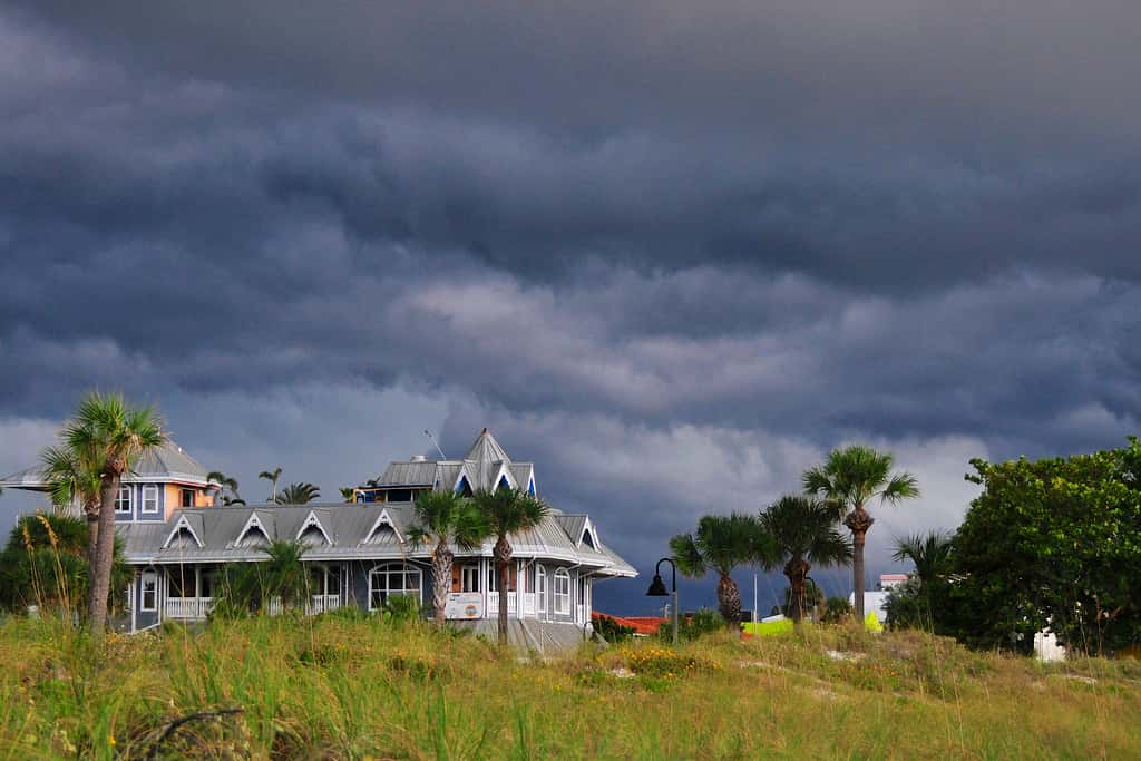
The same Pacific climate pattern that has kept the Atlantic hurricane basin free of hurricanes through the first week of September is expected to reshape Florida's weather through the winter and into next spring. Forecasters have described the developing El Nino event as potentially among the strongest on record, and its effects on Florida extend well past the storms it is preventing.
What El Nino is
El Nino describes a periodic warming of sea surface temperatures in the central and eastern equatorial Pacific, accompanied by a weakening of the trade winds that normally push warm water westward. It is one phase of a recurring cycle known as the El Nino Southern Oscillation, with La Nina representing the opposite phase and neutral conditions in between.
The pattern occurs irregularly, typically every two to seven years, and persists for roughly nine months to two years. Its effects reach far beyond the Pacific because the shift in ocean temperatures alters where the atmosphere's most vigorous thunderstorm activity occurs, which in turn changes global circulation patterns.
Forecasters have used the informal term super El Nino for the event now developing, a label applied to the strongest events on record. That characterization carries forecast uncertainty, since event strength is measured against thresholds that are not confirmed until the event is well underway.
Why it suppresses Atlantic hurricanes
The mechanism connecting the Pacific to Atlantic hurricane activity runs through upper-level winds. Enhanced thunderstorm activity over the warm central Pacific strengthens the upper-level westerly winds that blow across the tropical Atlantic, and those winds create vertical wind shear over the hurricane development regions.
Shear disrupts developing tropical cyclones by displacing the upper portion of the circulation relative to the lower portion. A storm cannot organize a vertically stacked core when the atmosphere is pushing its top downstream, and the thunderstorm activity that would fuel intensification gets sheared away from the center.
That is precisely what has happened in the Atlantic this year. The basin has produced five named storms, Arthur, Bertha, Cristobal, Dolly and Edouard, and none reached hurricane strength. Sea surface temperatures have supported storm formation; the atmosphere has not supported intensification.
Forecasters measure El Nino strength primarily through the Oceanic Nino Index, a three-month running average of sea surface temperature anomalies in a defined region of the equatorial Pacific. Thresholds distinguish weak, moderate, strong and very strong events, and the very strongest are the ones that produce the most reliable downstream effects on North American weather.
Stronger events produce more predictable outcomes, which is a useful property for seasonal forecasting. Weak El Nino events frequently fail to generate the expected atmospheric response, while strong events reliably do. That is why the possibility of an unusually strong event this year raises confidence in the winter outlook rather than lowering it.
What El Nino winters typically bring Florida
El Nino shifts the subtropical jet stream, the high-altitude river of air that steers storm systems, southward and strengthens it across the southern United States. For Florida, that generally means a winter with more frequent frontal passages, more rainfall and cooler average temperatures than a neutral or La Nina winter.
Increased winter rainfall has consequences for the state's water management. Florida's dry season normally runs from roughly November through May, and water managers plan reservoir levels, Lake Okeechobee releases and agricultural water allocations around that expectation. A wet dry season changes those calculations.
The pattern also affects Florida agriculture. Strawberry, citrus, vegetable and ornamental producers manage their winter crops around expected rainfall and temperature. Cooler, wetter conditions raise disease pressure in some crops and reduce it in others, and they alter the timing of harvests that are scheduled around the state's winter production window.
The severe weather side
The less-discussed effect of El Nino on Florida is severe weather. A stronger, more southerly subtropical jet increases wind shear over the state during winter and early spring, and while shear suppresses hurricanes, it supports the organized rotating thunderstorms that produce tornadoes.
Florida experiences more tornadoes per unit area than most states, though they are generally weaker than those in the Great Plains. El Nino winters have historically been associated with elevated tornado activity in the state, with several notable Florida tornado outbreaks occurring during strong El Nino events.
Winter and early spring tornadoes in Florida carry a distinct risk profile. They frequently occur at night, when people are asleep and less likely to receive warnings, and they occur outside the season most residents associate with dangerous weather. Emergency managers have historically emphasized weather radios and phone alerts as the mitigation for that combination.
The insurance and economic dimension
A hurricane-free season strengthens the financial position of Florida property insurers and of Citizens Property Insurance Corporation, the state-backed insurer of last resort. Carriers price on multi-year models, but a year without catastrophic losses improves reserves and reduces reinsurance pressure heading into the next renewal cycle.
Regulators approved rate decreases for many Florida homeowners heading into 2026, with Citizens filing for statewide reductions and a majority of counties seeing lower average premiums. A loss-free season supports the case for maintaining those reductions rather than reversing them.
The offsetting risk is that severe weather losses, from tornadoes, hail and winter storm damage, do not disappear in an El Nino year. They simply arrive in a different form and season than hurricane losses, and they are less visible in public discussion because individual events are smaller.
What it means for Floridians
For homeowners, the practical guidance for winter differs from hurricane guidance. Weather radios and phone alerts matter more than supply kits, because the threat is fast-moving severe weather rather than a multi-day event with days of advance notice.
For anyone planning outdoor activities through the winter, more frequent frontal passages mean more variable conditions than Florida's winters typically deliver. The state's tourism season peaks in the same months, and a wetter, cooler pattern affects everything from theme park attendance to beach visits to golf.
For agricultural operations and for households with landscaping investments, the cooler pattern raises freeze risk in North and Central Florida. El Nino winters have produced damaging freezes in the state's citrus and ornamental regions historically.
What it means for water managers
Florida's water management districts plan around a seasonal cycle in which roughly two thirds of annual rainfall arrives between June and October, followed by a dry season that runs through the following spring. An El Nino winter inverts part of that expectation by delivering substantial rainfall during the months when managers normally draw reservoirs down.
That has practical consequences for Lake Okeechobee, the system's central reservoir. The Army Corps of Engineers manages lake levels within a regulation schedule designed to balance flood control, water supply, ecological health and the structural safety of the Herbert Hoover Dike. Unexpected winter rainfall pushes levels up during a period when the schedule assumes they will fall.
High lake levels in spring constrain the Corps' options heading into the following wet season, because a lake that starts high has less capacity to absorb summer rainfall. That is the situation that historically produces the large discharges east and west through the St. Lucie and Caloosahatchee rivers, carrying nutrients that feed algal blooms in the estuaries.
The paradox for coastal communities in Lee, Martin and St. Lucie counties is that a quiet hurricane season paired with a wet winter can still produce a difficult summer for water quality. Rainfall, not storms specifically, drives the discharge decisions, and El Nino delivers rainfall in a season that Florida's water infrastructure was not designed around.
What the last strong events did in Florida
Florida's experience during previous strong El Nino winters provides the most concrete guide to what may be coming. Those winters have generally delivered above-normal rainfall across the peninsula, below-normal temperatures, more frequent frontal passages and elevated severe weather activity, particularly in February and March.
The 1997-98 event, among the strongest on record, produced a February tornado outbreak in Central Florida that remains the deadliest in the state's recorded history. Those tornadoes struck overnight across Osceola, Orange, Seminole and Volusia counties, and the event reshaped how Florida emergency managers approach overnight severe weather warning.
The lesson emergency officials drew was about warning delivery rather than forecasting. The storms were forecast; the difficulty was reaching sleeping residents. That is the reason weather radios with alarm functions and enabled wireless emergency alerts remain the standard recommendation for Florida households heading into an El Nino winter.
Wetter winters also affect Florida's wildfire outlook, though not in the direction most people assume. A wet winter promotes vegetation growth, and if the following spring turns dry, that additional growth becomes fuel. Florida's wildfire season typically peaks in spring, and the relationship between winter rainfall and spring fire risk is not straightforward.
What's next
Federal climate forecasters issue monthly updates on El Nino conditions and their expected persistence, and those updates are the authoritative source on how the event is evolving. Event strength typically peaks in late fall or early winter before decaying through the following spring.
The immediate question for Florida remains the hurricane season, which runs through November 30. Strong shear has suppressed development so far, but El Nino does not eliminate hurricane risk. Hurricane Gustav formed on September 11, 2002, during an El Nino year, and it remains one of the two latest first hurricanes on record.
The winter outlook will come into sharper focus as forecasters issue seasonal projections in the fall. For now, the pattern that has kept Florida free of storms this summer is the same one that will shape the state's weather into next year.
Spotted an issue with this article?
Have something to say about this story?
Write us a letterComments
No comments yet. Be the first to weigh in.
Related Coverage

Storm-Force Low Off Southeast Coast Has 40% Chance to Turn Subtropical as Florida Coast Faces Tidal Flooding, Rough Surf
2d ago
Strong fall cold front brings Florida Saturday rain, cooler air and dangerous surf this weekend
5d ago

Hurricane Center Gives Atlantic Low Near Cabo Verde a 20% Chance as Florida Gets a Break After Isaias
Oct 12

Tallahassee and the Big Bend Escape Isaias' Worst, With Downed Trees, Brief Outages and Rising Rivers to Watch
Oct 9