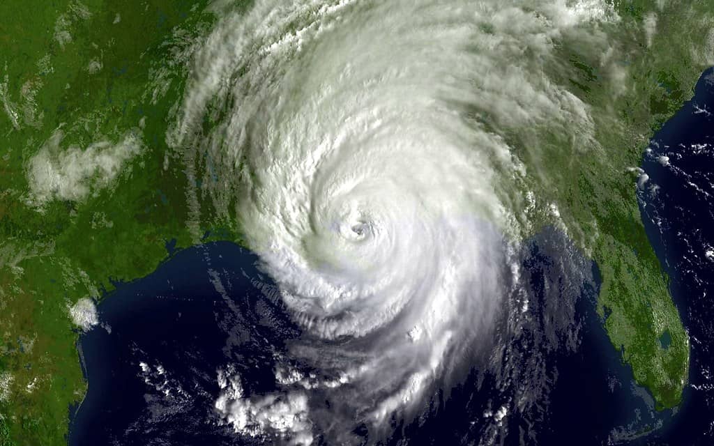
Tropical Storm Arthur Soaks Florida Panhandle as 2026 Hurricane Season Opens

Tropical Storm Arthur, the first named storm of the 2026 Atlantic hurricane season, formed off the Texas coast and pushed ashore before weakening into a low-pressure, post-tropical system along the upper Texas coast on the night of Wednesday, June 18, 2026. While the storm's center has moved well to the west of Florida, the sprawling band of moisture trailing behind it is now the main concern for the western Florida Panhandle, where forecasters warn of heavy rain and the threat of dangerous flash flooding through Friday.
At its peak as a tropical storm, Arthur carried maximum sustained winds of about 40 mph, putting it near the lower threshold for a named system. That relatively modest wind profile means the storm never posed a major wind threat to Florida, and emergency managers have been careful to frame Arthur's local impact as a rain and flooding event rather than a wind disaster. The system's primary danger lies in the volume of water it is capable of dropping over saturated ground as it drifts inland and weakens.
As Arthur's remnants track across the northern Gulf Coast, they are spreading heavy rain across a wide swath of states, including Texas, Louisiana, Mississippi, Alabama, Georgia, and into the western Florida Panhandle. Rainfall totals across the affected region are expected to run roughly 5 to 12 inches, with isolated higher amounts possible where bands stall or repeatedly train over the same neighborhoods. Those figures, combined with low-lying terrain and quickly filling drainage systems, are what drive the flash-flood risk that prompted official warnings.
The path of the storm illustrates a common pattern for early-season Gulf systems, which often form close to the coastline, make a quick landfall, and then linger as decaying centers of moisture long after their winds have faded. Arthur's transition to a post-tropical, low-pressure system over the upper Texas coast did not end its capacity to produce rain. If anything, slow-moving remnants can be more troublesome for inland flooding than a fast-moving hurricane, because they have time to dump repeated rounds of precipitation over the same areas before finally moving along. That dynamic is at the heart of why officials are watching the Panhandle so closely even as the storm itself has lost its tropical characteristics.
What Arthur Means for the Panhandle
For residents of the western Panhandle, the practical story of Arthur is one of persistent, soaking rain rather than howling wind. Communities from the Alabama line eastward should prepare for periods of intense downpours, ponding on roadways, and the potential for rapid rises in creeks, ditches, and urban drainage channels. Flash flooding is among the most underestimated hazards in any tropical system, and it can develop quickly even far from a storm's center.
The region's geography compounds the concern. Much of the Panhandle sits at low elevation, with sandy soils that can become saturated after sustained rainfall, reducing the ground's ability to absorb additional water. When several inches fall in a matter of hours, the runoff has nowhere to go, and normally dry underpasses, parking lots, and secondary roads can flood with little warning. Officials consistently caution drivers never to attempt to cross a flooded roadway, since it is difficult to judge the depth or the strength of moving water.
Beyond the rain itself, the broader system has been generating swells along the northwestern Gulf Coast that pose a life-threatening surf and rip-current hazard. While the most severe marine conditions have centered on the Texas and Louisiana coastlines nearer the storm's track, beachgoers across the northern Gulf are reminded that rip currents can persist even under partly sunny skies and well after a storm has moved on. Isolated tornadoes were also possible within the storm's outer rain bands, a common feature of tropical systems as they come ashore and interact with land.
Rip currents in particular deserve attention because they routinely claim lives along Florida beaches even in the absence of a named storm. These narrow channels of fast-moving water can pull even strong swimmers away from shore, and they are a leading cause of surf-zone fatalities in the state. Officials advise anyone caught in a rip current to remain calm, avoid fighting directly against the pull, and swim parallel to the shoreline until free of the current. With Arthur's swells in the water, lifeguards and local authorities have heightened their warnings about entering the surf.
An Early Start to the Season
Arthur's formation carries symbolic weight as well as practical consequences, because it marks the official opening act of the 2026 Atlantic hurricane season. The season runs from June 1 to November 30 each year, a span that encompasses the months when conditions in the Atlantic basin are most favorable for tropical development. The bulk of activity historically clusters in the late summer and early fall, but early-season storms are far from unusual.
The average date for the first named storm of the Atlantic season falls around June 20, which means Arthur arrived only slightly ahead of schedule. That timing places it squarely within the normal rhythm of the season rather than signaling anything extraordinary about the months to come. Forecasters tend to caution against reading too much into the timing of the first storm, since an early or late start has little bearing on how busy or quiet the overall season will ultimately be.
Still, the appearance of a named storm in mid-June serves as a useful reminder for Florida residents that the season is underway. For a state with a coastline measured in the thousands of miles and a population that swells with seasonal visitors, the arrival of Arthur is a prompt to move from off-season complacency to active readiness. The early storm gives families a low-stakes opportunity to review their plans before a more dangerous system threatens.
The NOAA Outlook for 2026
Ahead of the season, the National Oceanic and Atmospheric Administration issued its pre-season outlook in May 2026, and the forecast leaned toward a quieter-than-usual year. NOAA assigned a 55 percent chance of below-normal activity, projecting a range of 8 to 14 named storms for the full season. Within that total, the agency forecast 3 to 6 hurricanes and 1 to 3 major hurricanes, the latter category referring to the most intense and destructive systems.
A key driver behind the below-normal outlook is a developing El Nino, the climate pattern marked by warmer-than-average waters in the tropical Pacific. El Nino conditions tend to increase wind shear across the Atlantic basin, and that shear can disrupt or tear apart developing tropical systems before they have a chance to organize and strengthen. When forecasters cite a developing El Nino, they are pointing to one of the most reliable suppressors of Atlantic hurricane activity.
Even so, meteorologists and emergency managers are quick to stress that a below-normal forecast is not a guarantee of safety. A quieter season can still produce a single devastating landfall, and it only takes one storm striking a populated stretch of coastline to make a season catastrophic for the people in its path. The NOAA outlook describes the probable volume of activity, not the location or severity of any individual storm, which is why preparation remains essential regardless of the seasonal numbers.
Preparing Across Florida
Florida emergency managers are urging residents to prepare early, well before any major storm appears on the horizon. The lesson they repeat year after year is that readiness purchased in advance is far cheaper, calmer, and more effective than a last-minute scramble as a storm approaches. Arthur's early arrival underscores that point and offers a natural deadline for households to get their plans in order.
The core elements of preparation are familiar but easy to neglect. Officials encourage families to assemble a disaster supply kit with several days of water, nonperishable food, medications, flashlights, batteries, and important documents stored in waterproof containers. Having a plan for where to go, how to communicate, and how to care for pets and elderly relatives can make the difference between an orderly response and a chaotic one when conditions deteriorate.
Just as important is knowing the specific risks of one's own neighborhood. Residents are advised to learn whether they live in an evacuation zone, how their homes are likely to fare in high winds or rising water, and which local sources will deliver official information during an emergency. For the Panhandle communities facing Arthur's rain right now, the most immediate guidance is to monitor local forecasts, heed any flood warnings, and avoid travel during the heaviest downpours.
Lessons From a Hurricane-Prone State
Florida's long history with tropical systems has shaped a culture of preparedness that, while imperfect, is among the most developed in the nation. The state has weathered some of the most destructive hurricanes in American history, and each major storm has refined the way officials communicate risk, manage evacuations, and coordinate recovery. Arthur, as a comparatively minor system, is a chance to exercise those routines without the high stakes of a major landfall.
One of the recurring lessons from past storms is that water, not wind, accounts for a large share of storm-related deaths and damage. Storm surge along the coast and freshwater flooding inland have repeatedly proven more deadly than the winds that draw the most attention in forecasts. Arthur's profile, a weakening system whose chief Florida impact is heavy rain over the Panhandle, fits squarely within that pattern and reinforces why flood safety deserves emphasis even when wind threats are low.
Another enduring lesson is the value of acting on official guidance promptly rather than waiting to see how a situation develops. Flooding can escalate quickly, and roads that are passable one hour may be impassable the next. Emergency managers consistently urge residents not to drive through flooded areas and to take warnings seriously even when the sky appears to be clearing, since the runoff from upstream rainfall can continue to raise water levels for hours after the rain has stopped.
What's Next
For the next day or two, the chief concern across the western Panhandle remains the flash-flood threat that is expected to linger through Friday as Arthur's moisture continues to wring out over the region. Residents should stay alert to changing conditions, particularly during overnight hours when flooding can develop unseen, and should treat any standing or rushing water on roadways as a serious hazard rather than an inconvenience.
Looking beyond Arthur, the storm stands as the opening chapter of a season that NOAA expects to run below normal, but one that still demands vigilance from every Florida resident. The state's exposure to the Atlantic and Gulf means that no forecast, however reassuring, removes the need to prepare. Arthur's relatively mild passage offers a window to act before the heart of the season arrives in the late summer.
Officials will continue to monitor the tropics for the next system, and they encourage Floridians to use this early-season storm as motivation to finalize plans, refresh supplies, and confirm evacuation routes. The combination of an early first storm and a below-normal outlook should not breed false confidence, because the season's quietest forecast still leaves ample room for a dangerous landfall somewhere along Florida's long and vulnerable coast.
Spotted an issue with this article?
Have something to say about this story?
Write a letter to the editor