Hurricane Season Hits Its Peak With an Empty Atlantic and a Strong El Nino
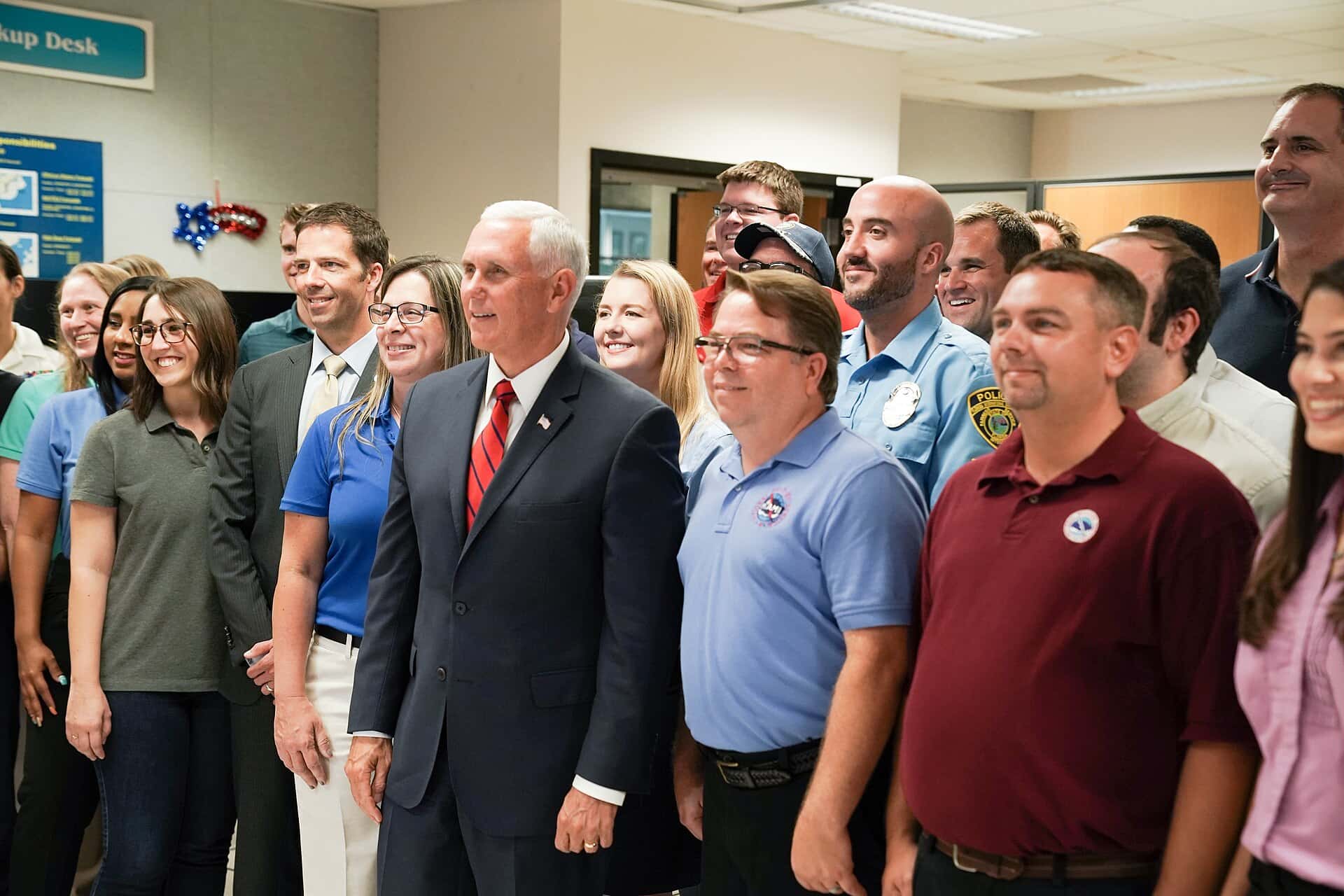
Florida arrives this week at the statistical peak of the Atlantic hurricane season with the basin unusually empty. The National Hurricane Center's tropical weather outlook indicates no tropical cyclone formation is expected across the North Atlantic, the Caribbean Sea and the Gulf over the next seven days, an unusual posture for the second week of September. The 2026 season has produced two named storms, Tropical Storm Arthur and Tropical Storm Bertha, and no hurricanes at all. For a state that has absorbed repeated landfalls over the past several seasons, the quiet is welcome, and forecasters are being careful to explain why it is happening without suggesting the season is finished.
Why September 10 matters
The Atlantic hurricane season officially runs from June 1 through November 30, but activity is not distributed evenly across those six months. Climatological records compiled over decades place the peak of activity around September 10, when sea surface temperatures, atmospheric moisture and wind patterns most often align to support tropical development.
In an average season, the basin is at its most active in the first three weeks of September. Storms that form in the deep tropics during this window have the longest runway to organize and the greatest opportunity to reach major hurricane strength before encountering land or hostile conditions.
That is what makes an empty map on the peak date notable. It does not happen every year, and when it does, it usually reflects a large-scale atmospheric pattern rather than random chance.
Forecasters emphasize that peak does not mean end. Roughly a third of Atlantic activity in a typical season occurs after mid-September, and some of Florida's most destructive storms have arrived in October.
The El Nino factor
The primary driver of the quiet season is El Nino, the periodic warming of the equatorial Pacific that reshapes atmospheric circulation worldwide. The National Oceanic and Atmospheric Administration has indicated a 90 percent chance of a strong or very strong El Nino during the August through October period, which covers the heart of the Atlantic season.
El Nino suppresses Atlantic hurricane activity primarily by increasing vertical wind shear, the change in wind speed and direction with height. Tropical cyclones require a relatively undisturbed vertical column to organize. Strong shear tears developing systems apart before they can consolidate a core, and it can weaken established storms rapidly.
El Nino also tends to increase atmospheric stability over the tropical Atlantic and can shift patterns of Saharan dust and dry air intrusion, both of which further inhibit development. The combined effect in strong El Nino years is often a season well below the long-term average.
This is a well-documented relationship rather than a speculative one. Seasonal forecasters have used the Pacific state as a leading predictor of Atlantic activity for decades, and 2026 is behaving broadly as the relationship would predict.
What NOAA is forecasting
NOAA's outlook for 2026 calls for a below-normal season, with a 75 percent chance of below-normal activity. The agency's numbers project 7 to 13 named storms, 2 to 6 hurricanes and 0 to 2 major hurricanes of Category 3 strength or higher for the full season.
NOAA maintained that below-normal call in its updated outlook issued ahead of the September peak, which is the agency's practice each August. Maintaining rather than revising an outlook signals that observed conditions through the first half of the season matched expectations.
With two named storms recorded so far, the season sits at the low end of even the reduced forecast range. Reaching the middle of the projected range would require several more named storms between now and November 30.
An average Atlantic season, measured against the 1991 to 2020 baseline, produces 14 named storms, 7 hurricanes and 3 major hurricanes. The 2026 numbers are running well behind that pace.
What a quiet season does not mean
Emergency managers across Florida have spent the summer making the same point: seasonal totals do not predict landfalls. It takes one storm to define a season for a community, and quiet years have produced devastating individual events.
Hurricane Andrew struck South Florida in August 1992 during a season that produced only seven named storms, well below average. It remains one of the costliest hurricanes in American history and reshaped Florida's building code. The lesson emergency managers draw from that season is that a low seasonal count offers no protection to any particular coastline.
There is also a documented behavioral risk. Quiet seasons erode preparedness. Households that go a year without a threat are less likely to maintain supplies, review evacuation zones or check insurance coverage before the next season begins.
Florida's population turnover compounds that problem. The state adds hundreds of thousands of new residents each year, many of whom have never experienced a hurricane and do not know their evacuation zone. A quiet season means an entire cohort arrives without a formative experience.
What Floridians should do now
The practical guidance from the Florida Division of Emergency Management does not change with the seasonal forecast. Every household should know its evacuation zone, which is determined by storm surge vulnerability rather than by inland flood risk, and which can be looked up through county emergency management websites.
Insurance is the item with the longest lead time. Most Florida homeowners policies carry a hurricane deductible expressed as a percentage of insured value rather than a flat dollar amount, and flood damage is excluded from standard homeowners coverage entirely. Flood policies through the National Flood Insurance Program generally carry a 30-day waiting period, which means a policy purchased when a storm is approaching provides no coverage for that storm.
Supply kits should cover at least seven days for each household member, including water, non-perishable food, medications, batteries and a plan for pets. Power restoration after a major storm can take a week or longer in heavily damaged areas.
Documentation matters as well. Photographing the interior and exterior of a home before a storm, and storing those images off-site or in cloud storage, materially speeds claims after damage occurs.
The rest of the season
Nearly three months remain in the official season. October is historically an active month for Florida specifically, because late-season storms often form in the western Caribbean and track north or northeast, a pattern that puts South Florida and the Gulf coast at elevated risk.
Late-season Caribbean development is somewhat less sensitive to El Nino shear than deep tropical Atlantic development, because those systems form closer to land and can organize quickly over very warm water. That is one reason forecasters are cautious about declaring a quiet season over in early September.
Sea surface temperatures across the Atlantic basin remain a supporting factor for development where shear allows. Warm water is fuel. El Nino is a lid. The season's remaining activity depends on whether that lid loosens anywhere over the next several weeks.
Residents should continue to monitor the National Hurricane Center's outlooks, which are issued four times daily during the season and expanded to a seven-day formation window in recent years.
What a quiet season does for insurance
Florida's property insurance market responds directly to recent loss experience, and consecutive seasons without a catastrophic landfall are the single most powerful force pushing rates down. Reinsurance, the coverage insurers buy to protect themselves against catastrophic years, is priced substantially on recent history.
That mechanism is already visible. Citizens Property Insurance is reducing multiperil rates by an average of 8.8 percent in 2026 and wind-only rates by 5.5 percent, and rates fell in 51 of Florida's 67 counties. Miami-Dade homeowners are seeing average reductions near 14 percent and Broward County around 17 percent.
Litigation reform is credited with a share of that improvement, particularly the elimination of one-way attorney fees and restrictions on assignment of benefits practices. But loss experience does the heaviest work, and a third consecutive quiet season would extend the trend.
The reverse is equally true. A single major landfall would reverse several years of rate improvement, because reinsurance renewals price the most recent event heavily. Florida homeowners benefiting from lower premiums this year should understand that the improvement rests on weather as much as on policy.
The forecast tools behind the outlook
Seasonal hurricane forecasting has improved considerably over the past two decades, though it remains a probabilistic exercise rather than a prediction of specific events. Forecasters use sea surface temperature patterns, the state of the El Nino Southern Oscillation, West African monsoon strength and atmospheric pressure patterns to estimate seasonal activity.
Those methods produce reasonably reliable estimates of how many storms a season will generate. They do not predict where storms will go, which depends on steering patterns that cannot be forecast months in advance.
Track forecasting within an active storm has improved dramatically. The National Hurricane Center's average track error at 72 hours is now smaller than its 24-hour error was in the 1990s, a gain driven by better satellite data, aircraft reconnaissance and computer modeling.
Intensity forecasting remains the weaker discipline. Rapid intensification, in which a storm strengthens dramatically in under 24 hours, has been responsible for several recent Florida surprises and remains difficult to anticipate. That is why officials warn against fixating on a forecast category several days out.
What's next
The immediate forecast horizon is clear. Beyond that, meteorologists will be watching whether El Nino holds its strength through October and whether any late-season Caribbean development materializes.
For Florida, a below-normal season that ends without a landfall would be the third consecutive year of reduced hurricane damage after a punishing stretch earlier in the decade. That would matter for the state's property insurance market, where reinsurance costs and carrier appetite respond directly to recent loss experience.
It would also be a reprieve rather than a trend. Seasonal forecasts describe one year at a time, and El Nino conditions do not persist indefinitely. The pattern that is protecting Florida this season may not be present next season.
Until November 30, the guidance remains what it always is: prepare as though a storm is coming, and be grateful when it does not.
Spotted an issue with this article?
Have something to say about this story?
Write us a letterComments
No comments yet. Be the first to weigh in.
Related Coverage
NOAA Winter Outlook Favors a Wet Florida Winter as a Very Strong El Niño Builds
1d ago

Josephine Heads Out to Sea, but Florida's Atlantic Coast Faces Strong Winds, King Tide Flooding and Dangerous Surf This Weekend
4d ago
Strong fall cold front brings Florida Saturday rain, cooler air and dangerous surf this weekend
Oct 15

Hurricane Center Gives Atlantic Low Near Cabo Verde a 20% Chance as Florida Gets a Break After Isaias
Oct 12