NOAA Forecasts Below-Normal 2026 Atlantic Hurricane Season as El Nino Strengthens, But Experts Warn One Storm Can Change Everything

Federal forecasters at the National Oceanic and Atmospheric Administration have issued a below-normal forecast for the 2026 Atlantic hurricane season, projecting between 8 and 14 named storms, 3 to 6 hurricanes, and 1 to 3 major hurricanes of Category 3 strength or higher. The forecast, released ahead of the June 1 official start of hurricane season, assigns a 55 percent probability to a below-normal season, a 35 percent chance of near-normal activity, and a 10 percent chance of above-normal conditions. For Florida, the quieter outlook is welcome news, but emergency management officials across the state are urging residents not to let a favorable forecast become a reason to skip hurricane preparation.
What NOAA Is Projecting and Why
The primary driver of this year's below-normal forecast is the anticipated development of an El Nino pattern in the Pacific Ocean during the heart of hurricane season. El Nino is a periodic warming of Pacific sea surface temperatures that tends to increase wind shear across the Atlantic basin. Wind shear, the change in wind speed and direction at different altitudes, acts as a natural disruptor of tropical cyclone development by tearing apart the organized convection that allows storms to intensify.
NOAA's Climate Prediction Center said El Nino is expected to emerge and strengthen between July and September 2026, which covers the most active period of the Atlantic hurricane season. When El Nino is in place during those months, the historical record shows a consistent pattern of suppressed storm activity in the Atlantic, including fewer storms reaching Florida's coast.
However, competing factors are also in play. Sea surface temperatures in the Atlantic and Gulf of Mexico remain slightly warmer than average, and trade winds are expected to be weaker than normal in some parts of the basin. Warmer ocean temperatures provide the energy that fuels hurricane development, meaning that any storm that does form this season could intensify more rapidly than the suppressed overall numbers might suggest. NOAA Administrator Neil Jacobs emphasized that context in the announcement, noting that a below-normal season still carries real risk.
Florida's Unique Vulnerability
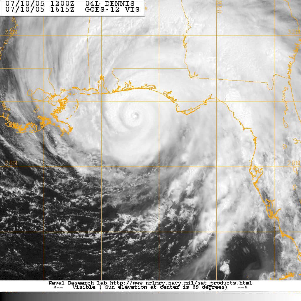
Florida's geography makes the state more vulnerable to hurricanes than any other in the continental United States. The state has roughly 1,350 miles of coastline and sits at the tip of a peninsula extending into the Atlantic and Gulf of Mexico, where storm tracks converge. A tropical system approaching from the east threatens the Atlantic coast from Jacksonville to Miami. A Gulf storm moving toward the coast endangers everything from Pensacola to Naples. And major storms that cross the Caribbean can strike virtually any part of the state depending on their track.
Florida has absorbed several destructive hurricane landfalls in recent years. Hurricane Ian struck the Southwest Florida coast near Fort Myers in September 2022 as a Category 4 storm, causing catastrophic damage and killing more than 100 people. Hurricane Idalia hit the Big Bend region in August 2023, and Hurricane Helene struck the Gulf Coast of Florida in September 2024 before causing historic flooding across the Southeast. Hurricane Milton crossed central Florida in October 2024, causing widespread damage including the roof destruction at Tropicana Field in St. Petersburg.
Those recent seasons, all of which followed below-average or near-average official forecasts in at least some years, underscore the point that NOAA officials themselves make: a quiet season in terms of total storm count is not a quiet season for the community that gets hit by the one storm that does form and strengthen. Florida emergency managers say they plan for the worst-case scenario regardless of seasonal forecasts.
Hurricane Preparedness Guidance for Florida Residents
The Florida Division of Emergency Management recommends that every Florida household maintain a hurricane supply kit containing at least seven days of non-perishable food, enough water for at least one gallon per person per day for seven days, prescription medications, first aid supplies, important documents stored in a waterproof container, a battery-powered or hand-crank radio, and enough cash to cover immediate needs in the event of power outages that prevent card transactions.
Residents in coastal areas or flood-prone zones should know their evacuation zone designation and have a plan for where to go if an evacuation order is issued for their zone. Evacuation orders in Florida are zone-specific: an order for Zone A in a coastal county does not require inland Zone D residents to leave. Understanding which zone applies to a specific address and what that zone means for evacuation timing is one of the most important pieces of hurricane preparedness knowledge for Florida residents.
The Florida Division of Emergency Management has an online tool at FloridaDisaster.org that allows residents to look up their evacuation zone by address. County emergency management offices also maintain local evacuation maps, shelter locations, and special needs registries for residents who require assistance during evacuation. Registration in the special needs program should be completed well before storm season is active, as shelters that serve those populations operate on a different timeline than general population shelters.
El Nino's Track Record in Florida Hurricane Seasons
The historical record provides clear support for the suppressing effect of El Nino on Atlantic hurricane activity. The strongest El Nino events on record, including the 1997-1998 and 2015-2016 events, both coincided with notably quiet Atlantic seasons. During those periods, the increased wind shear over the Atlantic disrupted dozens of potential tropical developments before they could organize into named storms.
Florida saw relatively few significant landfalls during strong El Nino years, though the historical pattern has exceptions. In 1992, an El Nino was beginning to develop when Hurricane Andrew, one of the most devastating storms in Florida history, devastated South Florida as a Category 5 storm. Forecasters note that the interaction between El Nino development and Atlantic storm tracks is not perfectly predictive for individual storms, only for overall seasonal totals.
The 2026 El Nino is expected to be moderate in intensity rather than a record-breaking event. A moderate El Nino provides meaningful suppression of Atlantic hurricane activity, but it does not eliminate the threat the way an extreme El Nino year might. Forecasters said the overall reduction in named storm numbers expected this year does not translate to a zero-risk environment for states along the Gulf or Atlantic coasts.
Insurance and Property Considerations
Florida homeowners have been dealing with a deepening property insurance crisis that makes the financial consequences of a hurricane strike particularly acute. Dozens of property and casualty insurers have left the Florida market in recent years, citing unsustainable losses from hurricane claims and litigation costs. Citizens Property Insurance Corporation, the state-backed insurer of last resort, has absorbed the customers those private carriers left behind and now covers more than one million Florida policies.
A significant hurricane hitting a densely populated part of the state would test the financial resilience of the insurance system, including Citizens' reinsurance arrangements and the Florida Hurricane Catastrophe Fund, which provides a state-backed reinsurance layer to help private insurers cover major storm losses. Industry analysts have warned that a catastrophic storm in South Florida or the Tampa Bay region would generate insurance claims that could strain even those government backstops.
Florida homeowners are encouraged to review their property insurance coverage before hurricane season begins and to understand what their policy covers in terms of wind damage versus flood damage, as standard homeowners policies typically exclude flood, requiring a separate National Flood Insurance Program policy for that coverage. The distinction between wind and flood damage is one of the most consequential coverage questions homeowners face after a major storm.
What Floridians Should Do Now
With the June 1 start of hurricane season just days away, emergency management officials across Florida are urging residents to complete preparation steps before the first storm of the season forms. The official advice is to take preparedness actions during calm weather rather than scrambling when a storm is already in the Gulf or approaching the Atlantic coast, at which point supplies may be exhausted from store shelves and evacuation routes may be congested.
Homeowners should inspect their properties for potential wind hazards, including loose roof shingles, unsecured outdoor furniture, and trees or large branches positioned to damage structures during high winds. Those in areas served by storm shutters or impact-resistant windows should confirm those protections are in working order. Residents in manufactured homes or mobile homes, which are particularly vulnerable to hurricane-force winds, should know their designated evacuation shelter locations, as those structures are typically not safe to remain in during a storm of any significant intensity.
NOAA's forecast will be updated as the season progresses. The agency issues periodic updates to its seasonal outlook as additional data about ocean temperatures and atmospheric conditions becomes available. Floridians can monitor storm development at the National Hurricane Center's website, nhc.noaa.gov, which issues tropical weather outlooks twice daily and detailed advisories whenever a named storm is active in the Atlantic basin. The Florida Division of Emergency Management also maintains a 24-hour hotline and an active social media presence with storm preparedness information throughout hurricane season.
Spotted an issue with this article?
Have something to say about this story?
Write a letter to the editor